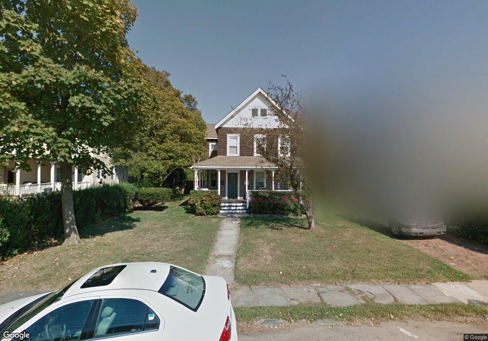
113 W End Ave Long Branch, NJ 07740
Estimated Value: $904,276 - $1,023,000
3
Beds
2
Baths
1,946
Sq Ft
$505/Sq Ft
Est. Value
About This Home
This home is located at 113 W End Ave, Long Branch, NJ 07740 and is currently estimated at $982,569, approximately $504 per square foot. 113 W End Ave is a home located in Monmouth County with nearby schools including Long Branch High School, Holy Trinity School, and Bet Yaakov of the Jersey Shore.
Ownership History
Date
Name
Owned For
Owner Type
Purchase Details
Closed on
Jul 15, 2003
Sold by
Frank Mara
Bought by
Desmond Edward
Current Estimated Value
Home Financials for this Owner
Home Financials are based on the most recent Mortgage that was taken out on this home.
Original Mortgage
$267,900
Interest Rate
6.05%
Mortgage Type
Commercial
Create a Home Valuation Report for This Property
The Home Valuation Report is an in-depth analysis detailing your home's value as well as a comparison with similar homes in the area
Home Values in the Area
Average Home Value in this Area
Purchase History
| Date | Buyer | Sale Price | Title Company |
|---|---|---|---|
| Desmond Edward | $282,000 | -- |
Source: Public Records
Mortgage History
| Date | Status | Borrower | Loan Amount |
|---|---|---|---|
| Previous Owner | Desmond Edward | $267,900 |
Source: Public Records
Tax History Compared to Growth
Tax History
| Year | Tax Paid | Tax Assessment Tax Assessment Total Assessment is a certain percentage of the fair market value that is determined by local assessors to be the total taxable value of land and additions on the property. | Land | Improvement |
|---|---|---|---|---|
| 2025 | $10,773 | $754,900 | $428,400 | $326,500 |
| 2024 | $9,511 | $700,900 | $403,400 | $297,500 |
| 2023 | $9,511 | $612,400 | $328,400 | $284,000 |
| 2022 | $8,230 | $520,500 | $270,300 | $250,200 |
| 2021 | $8,230 | $411,300 | $198,300 | $213,000 |
| 2020 | $8,207 | $392,700 | $179,300 | $213,400 |
| 2019 | $8,044 | $382,700 | $179,300 | $203,400 |
| 2018 | $8,018 | $379,300 | $183,300 | $196,000 |
| 2017 | $8,994 | $436,400 | $175,300 | $261,100 |
| 2016 | $8,785 | $434,700 | $180,300 | $254,400 |
| 2015 | $5,565 | $249,900 | $96,500 | $153,400 |
| 2014 | $5,452 | $258,000 | $121,900 | $136,100 |
Source: Public Records
Map
Nearby Homes
- 107 W End Ave
- 119 Avery Ave Unit H21
- 665 2nd Ave Unit 309
- 665 2nd Ave Unit 202
- 665 2nd Ave Unit 310
- 665 2nd Ave Unit 303
- 665 2nd Ave Unit 201
- 21 Riviera Dr
- 510 Ocean Ave N Unit 10
- 480 Ocean Ave Unit 2K
- 65 Cedar Ave Unit C11
- 675 Ocean Ave Unit 9F
- 675 Ocean Ave Unit 5J
- 675 Ocean Ave Unit 4I
- 464 2nd Ave
- 279 W West End Ave
- 717 Ocean Ave Unit 705
- 35 Sternberger Ave Unit P
- 23 Woolley Ave
- 631 Hoey Ave
- 109 W End Ave
- 119 W End Ave
- 107 W End Ave
- 123 W End Ave
- 103 W End Ave Unit 4
- 103 W End Ave
- 566 2nd Ave
- 566 2nd Ave Unit ANNUAL
- 566 2nd Ave Unit SUMMER
- 128 Hulick St
- 95 W End Ave
- 129 W End Ave
- 130 Hulick St
- 552 2nd Ave
- 527 Sairs Ave Unit 529
- 135 W End Ave
- 525 Sairs Ave
- 550 2nd Ave
- 73 W End Ave
- 521 Sairs Ave