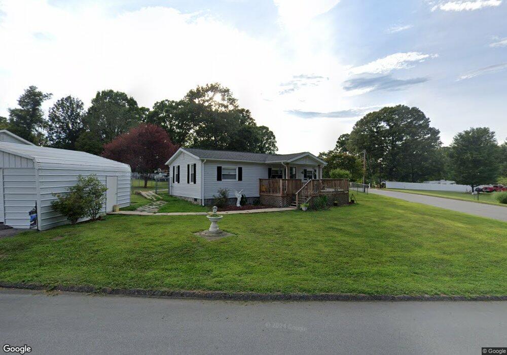
113 Wave Rd Kings Mountain, NC 28086
Estimated Value: $97,000 - $219,000
--
Bed
--
Bath
800
Sq Ft
$199/Sq Ft
Est. Value
About This Home
This home is located at 113 Wave Rd, Kings Mountain, NC 28086 and is currently estimated at $159,045, approximately $198 per square foot. 113 Wave Rd is a home located in Cleveland County with nearby schools including Bethware Elementary School, Kings Mountain Intermediate School, and Kings Mountain Middle.
Ownership History
Date
Name
Owned For
Owner Type
Purchase Details
Closed on
Aug 13, 2024
Sold by
Burgess Tammy V and Burgess Paul Edward
Bought by
Morgan Timothy R and Morgan Cecily H
Current Estimated Value
Home Financials for this Owner
Home Financials are based on the most recent Mortgage that was taken out on this home.
Original Mortgage
$130,000
Outstanding Balance
$128,227
Interest Rate
5.88%
Mortgage Type
New Conventional
Estimated Equity
$30,818
Purchase Details
Closed on
Oct 24, 2005
Sold by
Varnor Judith Davis
Bought by
Burgess Tammy
Create a Home Valuation Report for This Property
The Home Valuation Report is an in-depth analysis detailing your home's value as well as a comparison with similar homes in the area
Home Values in the Area
Average Home Value in this Area
Purchase History
| Date | Buyer | Sale Price | Title Company |
|---|---|---|---|
| Morgan Timothy R | $164,000 | None Listed On Document | |
| Burgess Tammy | -- | None Available |
Source: Public Records
Mortgage History
| Date | Status | Borrower | Loan Amount |
|---|---|---|---|
| Open | Morgan Timothy R | $130,000 |
Source: Public Records
Tax History Compared to Growth
Tax History
| Year | Tax Paid | Tax Assessment Tax Assessment Total Assessment is a certain percentage of the fair market value that is determined by local assessors to be the total taxable value of land and additions on the property. | Land | Improvement |
|---|---|---|---|---|
| 2025 | $944 | $148,701 | $21,090 | $127,611 |
| 2024 | $293 | $60,208 | $19,425 | $40,783 |
| 2023 | $291 | $60,208 | $19,425 | $40,783 |
| 2022 | $291 | $60,208 | $19,425 | $40,783 |
| 2021 | $291 | $60,208 | $19,425 | $40,783 |
| 2020 | $214 | $46,356 | $16,761 | $29,595 |
| 2019 | $214 | $46,356 | $16,761 | $29,595 |
| 2018 | $211 | $46,356 | $16,761 | $29,595 |
| 2017 | $210 | $46,356 | $16,761 | $29,595 |
| 2016 | $200 | $46,356 | $16,761 | $29,595 |
| 2015 | $212 | $47,851 | $14,985 | $32,866 |
| 2014 | $212 | $47,851 | $14,985 | $32,866 |
Source: Public Records
Map
Nearby Homes
- 100 Tripp Dr
- 105 Ager Dr
- 213 Press Sweezy Rd
- 608 Rollingbrook Rd
- 124 Rollingbrook Rd
- 956 Stony Point Rd
- 236 Hoyles Rd
- 1238 Oak Grove Rd
- 153 Harbourtown Dr
- 221 Reliance Rd
- 3367 Marshall Wolfe Rd
- 128 Harbourtown Dr
- 00 Bottom Rd Unit 1
- 00 Bottom Rd Unit 2
- 122 Bottom Rd
- 000 Putnam Lake Rd
- 111 Bottom Rd
- 110 Cypress Point Dr
- 116 Cypress Point Dr
- 106 Candlewood Dr