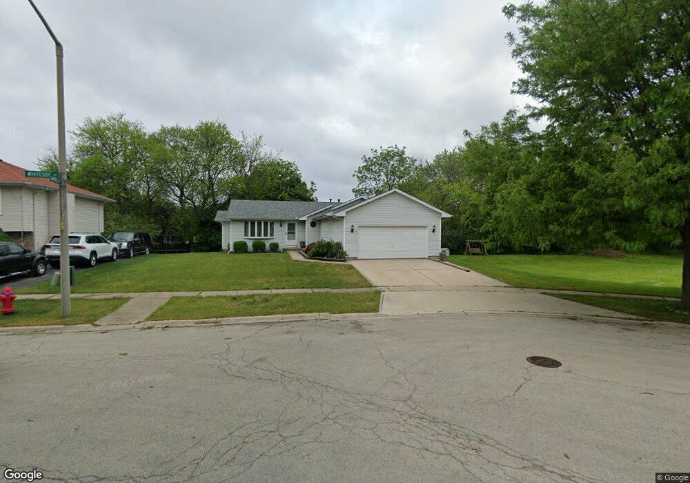
113 Whiteside Dr Joliet, IL 60435
Southwest Joliet NeighborhoodEstimated Value: $256,120 - $358,000
Studio
--
Bath
1,552
Sq Ft
$209/Sq Ft
Est. Value
About This Home
This home is located at 113 Whiteside Dr, Joliet, IL 60435 and is currently estimated at $324,780, approximately $209 per square foot. 113 Whiteside Dr is a home located in Will County with nearby schools including Troy Craughwell Elementary School, Troy Middle School, and Orenic Intermediate School.
Ownership History
Date
Name
Owned For
Owner Type
Purchase Details
Closed on
Jan 28, 2012
Sold by
Gawenda Paul E
Bought by
Gawenda Eleanor D
Current Estimated Value
Purchase Details
Closed on
Jan 8, 2002
Sold by
Leach Homes Inc
Bought by
Nelson Steven C and Nelson Anne L
Home Financials for this Owner
Home Financials are based on the most recent Mortgage that was taken out on this home.
Original Mortgage
$124,400
Outstanding Balance
$51,269
Interest Rate
7.16%
Estimated Equity
$273,511
Create a Home Valuation Report for This Property
The Home Valuation Report is an in-depth analysis detailing your home's value as well as a comparison with similar homes in the area
Home Values in the Area
Average Home Value in this Area
Purchase History
| Date | Buyer | Sale Price | Title Company |
|---|---|---|---|
| Gawenda Eleanor D | -- | None Available | |
| Nelson Steven C | $158,000 | Ticor Title |
Source: Public Records
Mortgage History
| Date | Status | Borrower | Loan Amount |
|---|---|---|---|
| Open | Nelson Steven C | $124,400 |
Source: Public Records
Tax History
| Year | Tax Paid | Tax Assessment Tax Assessment Total Assessment is a certain percentage of the fair market value that is determined by local assessors to be the total taxable value of land and additions on the property. | Land | Improvement |
|---|---|---|---|---|
| 2024 | $7,251 | $90,590 | $16,358 | $74,232 |
| 2023 | $7,251 | $81,392 | $14,697 | $66,695 |
| 2022 | $6,591 | $77,017 | $13,907 | $63,110 |
| 2021 | $6,175 | $72,453 | $13,083 | $59,370 |
| 2020 | $6,183 | $72,453 | $13,083 | $59,370 |
| 2019 | $5,994 | $69,500 | $12,550 | $56,950 |
| 2018 | $5,856 | $66,200 | $12,550 | $53,650 |
| 2017 | $5,539 | $61,850 | $12,550 | $49,300 |
| 2016 | $5,415 | $58,650 | $12,550 | $46,100 |
| 2015 | $5,203 | $55,208 | $11,258 | $43,950 |
| 2014 | $5,203 | $55,243 | $11,258 | $43,985 |
| 2013 | $5,203 | $55,243 | $11,258 | $43,985 |
Source: Public Records
Map
Nearby Homes
- 3001 Heritage Dr Unit DR106
- 2902 Old Kent Dr
- 2905 Reardon Dr
- 115 Fairlane Dr
- 3306 Coventry Ct
- 2689 Jodee Dr Unit B
- 182 Saenz Ln Unit 2E
- 3311 Indianwood Ln
- 3208 Oakwood Dr
- 2651 Crescenzo Dr Unit 3
- 2507 Caddy Ln
- 2634 Crescenzo Dr Unit B
- 2700 Eagle Dr Unit 4
- 506 Timberline Dr
- 3016 Haven Ct
- 410 Rollingwood Ln Unit 1
- 2530 Par Four Ct Unit C
- 2365 W Jefferson St
- 206 Stephen Ln
- 720 Meadow Wood Dr
- 111 Whiteside Dr
- 109 Whiteside Dr
- 2930 Twin Oaks Dr
- 110 Whiteside Dr
- 110 Rebecca Rd
- 107 Whiteside Dr
- 2909 Campbell St Unit 7
- 108 Whiteside Dr
- 2908 Campbell St
- 108 Robert Ct
- 105 Whiteside Dr
- 2907 Campbell St
- 2915 Old Kent Dr
- 2906 Campbell St
- 2905 Campbell St
- 140 Rebecca Rd
- 3003 Twin Oaks Dr
- 2913 Old Kent Dr
- 104 Robert Ct
- 2911 Old Kent Dr
Your Personal Tour Guide
Ask me questions while you tour the home.