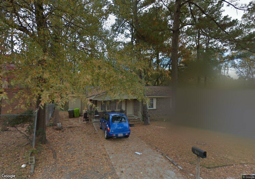
113 Woodvale Cir Columbia, SC 29203
Far North Columbia NeighborhoodEstimated Value: $116,000 - $145,968
3
Beds
2
Baths
1,080
Sq Ft
$120/Sq Ft
Est. Value
About This Home
This home is located at 113 Woodvale Cir, Columbia, SC 29203 and is currently estimated at $129,492, approximately $119 per square foot. 113 Woodvale Cir is a home located in Richland County with nearby schools including J.P. Thomas Elementary School, Alcorn Middle School, and W.J. Keenan High School.
Ownership History
Date
Name
Owned For
Owner Type
Purchase Details
Closed on
Jun 7, 2006
Sold by
Rembert Bettie M and Citifinancial Mortgage Co Inc
Bought by
Crater Stephen
Current Estimated Value
Home Financials for this Owner
Home Financials are based on the most recent Mortgage that was taken out on this home.
Original Mortgage
$25,000
Outstanding Balance
$14,649
Interest Rate
6.51%
Mortgage Type
Purchase Money Mortgage
Estimated Equity
$114,843
Purchase Details
Closed on
Mar 31, 2006
Sold by
Rembert Bettie
Bought by
Citifinancial Mortgage Co Inc
Create a Home Valuation Report for This Property
The Home Valuation Report is an in-depth analysis detailing your home's value as well as a comparison with similar homes in the area
Home Values in the Area
Average Home Value in this Area
Purchase History
| Date | Buyer | Sale Price | Title Company |
|---|---|---|---|
| Crater Stephen | $20,200 | None Available | |
| Citifinancial Mortgage Co Inc | $2,500 | None Available |
Source: Public Records
Mortgage History
| Date | Status | Borrower | Loan Amount |
|---|---|---|---|
| Open | Crater Stephen | $25,000 |
Source: Public Records
Tax History Compared to Growth
Tax History
| Year | Tax Paid | Tax Assessment Tax Assessment Total Assessment is a certain percentage of the fair market value that is determined by local assessors to be the total taxable value of land and additions on the property. | Land | Improvement |
|---|---|---|---|---|
| 2024 | $1,458 | $42,300 | $0 | $0 |
| 2023 | $1,458 | $1,472 | $0 | $0 |
| 2022 | $1,336 | $36,800 | $5,500 | $31,300 |
| 2021 | $1,316 | $2,210 | $0 | $0 |
| 2020 | $1,087 | $1,690 | $0 | $0 |
| 2019 | $899 | $1,690 | $0 | $0 |
| 2018 | $918 | $1,460 | $0 | $0 |
| 2017 | $898 | $1,460 | $0 | $0 |
| 2016 | $886 | $1,460 | $0 | $0 |
| 2015 | $876 | $1,460 | $0 | $0 |
| 2014 | $863 | $24,400 | $0 | $0 |
| 2013 | -- | $1,460 | $0 | $0 |
Source: Public Records
Map
Nearby Homes
- 112 Woodcrest Dr
- 0 Stanford St
- 413 Beaverbrook Dr
- 304 Beaver Brook Rd
- 321 Stanford St
- 313 Woodcrest Dr
- 6746 Wakefield Rd
- 0 Roosevelt Rd
- 305 Bertha Ave
- 0 Jerome Dr
- 233 Bowling Ave
- 1276 Mosser Dr
- 1280 Mosser Dr
- 404 Meadowlake Dr
- 0 W S Winnsboro Rd
- 0 W S Wakefield Rd
- 1 Addy Ct
- 0 Lakeridge Pkwy
- 536 Sedgewood Dr
- 523 Torwood Dr
- 117 Woodvale Cir
- 109 Woodvale Cir
- 116 Woodcrest Dr
- 204 Woodcrest Dr
- 105 Woodvale Cir
- 121 Woodvale Cir
- 108 Woodvale Cir
- 208 Woodcrest Dr
- 118 Woodvale Cir
- 200 Woodcrest Dr
- 101 Woodvale Cir
- 125 Woodvale Cir
- 108 Woodcrest Dr
- 212 Woodcrest Dr
- 205 Stanford St
- 100 Woodvale Cir
- 126 Woodvale Cir
- 216 Woodcrest Dr
- 104 Woodcrest Dr
- 305 Stanford St