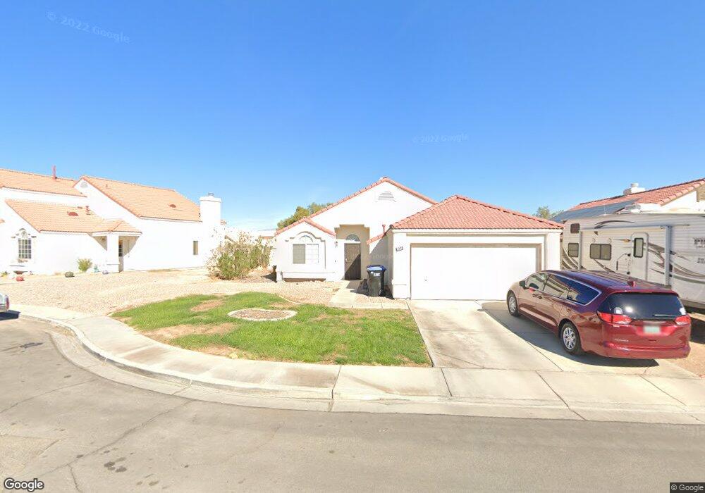
1130 Broad View Ct North Las Vegas, NV 89032
Cheyenne NeighborhoodEstimated Value: $356,379 - $399,000
3
Beds
2
Baths
1,459
Sq Ft
$260/Sq Ft
Est. Value
About This Home
This home is located at 1130 Broad View Ct, North Las Vegas, NV 89032 and is currently estimated at $379,345, approximately $260 per square foot. 1130 Broad View Ct is a home located in Clark County with nearby schools including Elizabeth Wilhelm Elementary School, Dr. Claude G Perkins Elementary School, and Marvin M Sedway Middle School.
Ownership History
Date
Name
Owned For
Owner Type
Purchase Details
Closed on
Oct 25, 1995
Sold by
Mementos Ltd Partnership
Bought by
Kucan Michael
Current Estimated Value
Home Financials for this Owner
Home Financials are based on the most recent Mortgage that was taken out on this home.
Original Mortgage
$108,027
Outstanding Balance
$1,514
Interest Rate
7.62%
Mortgage Type
FHA
Estimated Equity
$377,831
Create a Home Valuation Report for This Property
The Home Valuation Report is an in-depth analysis detailing your home's value as well as a comparison with similar homes in the area
Home Values in the Area
Average Home Value in this Area
Purchase History
| Date | Buyer | Sale Price | Title Company |
|---|---|---|---|
| Kucan Michael | $109,500 | Nevada Title Company |
Source: Public Records
Mortgage History
| Date | Status | Borrower | Loan Amount |
|---|---|---|---|
| Open | Kucan Michael | $108,027 |
Source: Public Records
Tax History Compared to Growth
Tax History
| Year | Tax Paid | Tax Assessment Tax Assessment Total Assessment is a certain percentage of the fair market value that is determined by local assessors to be the total taxable value of land and additions on the property. | Land | Improvement |
|---|---|---|---|---|
| 2025 | $1,662 | $80,028 | $27,300 | $52,728 |
| 2024 | $1,540 | $80,028 | $27,300 | $52,728 |
| 2023 | $1,540 | $78,861 | $28,700 | $50,161 |
| 2022 | $1,426 | $69,011 | $23,100 | $45,911 |
| 2021 | $1,320 | $65,498 | $21,700 | $43,798 |
| 2020 | $1,223 | $64,233 | $20,650 | $43,583 |
| 2019 | $1,146 | $59,519 | $16,450 | $43,069 |
| 2018 | $1,094 | $55,471 | $14,000 | $41,471 |
| 2017 | $1,823 | $54,333 | $12,250 | $42,083 |
| 2016 | $1,025 | $43,769 | $9,100 | $34,669 |
| 2015 | $1,022 | $34,595 | $7,000 | $27,595 |
| 2014 | $992 | $28,927 | $5,250 | $23,677 |
Source: Public Records
Map
Nearby Homes
- 3743 Nairobi Ln
- 3839 Dusty Glen Ct
- 3644 Quail Creek Dr
- 1002 Christopher View Ave Unit 2
- 641 Bay Bridge Dr
- 1608 Knoll Heights Ct
- 4116 Mattray St
- 628 Bay Bridge Dr
- 3825 Manhattan Bridge Place
- 4126 Jessica Marie St Unit 4
- 1304 Checkmark Ave Unit 4
- 4052 Clove Hitch St
- 1209 Equator Ave
- 4028 Spring Line St
- 625 Heartland Point Ave
- 532 Shallow Mist Ct
- 4204 Golden Sol St
- 3317 Spinet Dr
- 4208 Golden Sol St
- 1881 W Alexander Rd Unit 1092
- 1126 Broad View Ct
- 1134 Broad View Ct
- 1134 Broad View Ct Unit None
- 1129 Frost Flower Dr
- 1122 Broad View Ct Unit 3
- 1125 Frost Flower Dr
- 3814 Rose Canyon Dr
- 3810 Rose Canyon Dr
- 3818 Rose Canyon Dr
- 3818 Rose Canyon Dr Unit n/a
- 1121 Frost Flower Dr
- 1129 Broad View Ct
- 3806 Rose Canyon Dr
- 1125 Broad View Ct
- 3822 Rose Canyon Dr
- 1133 Broad View Ct
- 1137 Broad View Ct
- 1121 Broad View Ct
- 3744 Rose Canyon Dr