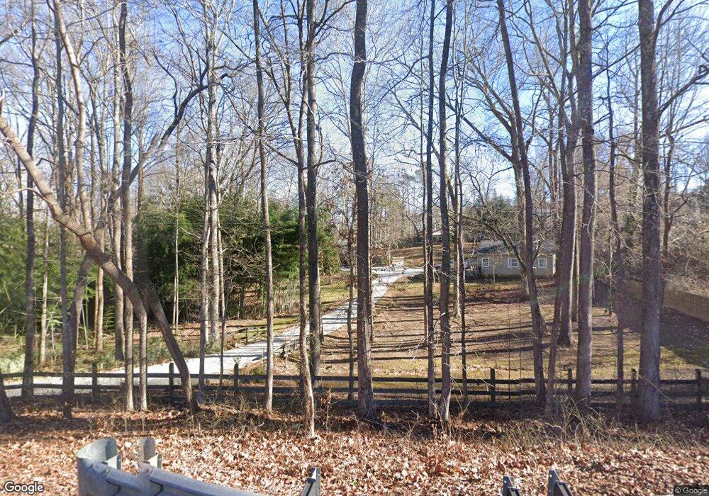
1130 Buford Dam Rd Buford, GA 30518
Estimated Value: $257,000 - $378,000
3
Beds
2
Baths
1,888
Sq Ft
$173/Sq Ft
Est. Value
About This Home
This home is located at 1130 Buford Dam Rd, Buford, GA 30518 and is currently estimated at $326,192, approximately $172 per square foot. 1130 Buford Dam Rd is a home located in Gwinnett County with nearby schools including White Oak Elementary School, Lanier Middle School, and Lanier High School.
Ownership History
Date
Name
Owned For
Owner Type
Purchase Details
Closed on
Jul 31, 2020
Sold by
Jones Fred T
Bought by
Jones Catherine
Current Estimated Value
Purchase Details
Closed on
Oct 28, 2009
Sold by
Bati Resources Llc
Bought by
Jones Tarama
Purchase Details
Closed on
Feb 9, 2001
Sold by
Morequity Inc
Bought by
Jones Fred T
Home Financials for this Owner
Home Financials are based on the most recent Mortgage that was taken out on this home.
Original Mortgage
$64,000
Interest Rate
6.91%
Mortgage Type
New Conventional
Purchase Details
Closed on
Sep 7, 2000
Sold by
Sears Wiiliam H
Bought by
Morequity Inc
Create a Home Valuation Report for This Property
The Home Valuation Report is an in-depth analysis detailing your home's value as well as a comparison with similar homes in the area
Home Values in the Area
Average Home Value in this Area
Purchase History
| Date | Buyer | Sale Price | Title Company |
|---|---|---|---|
| Jones Catherine | -- | -- | |
| Jones Catherine | -- | -- | |
| Jones Tarama | -- | -- | |
| Jones Fred T | $80,000 | -- | |
| Morequity Inc | $83,150 | -- |
Source: Public Records
Mortgage History
| Date | Status | Borrower | Loan Amount |
|---|---|---|---|
| Previous Owner | Jones Fred T | $64,000 |
Source: Public Records
Tax History Compared to Growth
Tax History
| Year | Tax Paid | Tax Assessment Tax Assessment Total Assessment is a certain percentage of the fair market value that is determined by local assessors to be the total taxable value of land and additions on the property. | Land | Improvement |
|---|---|---|---|---|
| 2024 | $2,870 | $84,800 | $33,080 | $51,720 |
| 2023 | $2,870 | $84,800 | $33,080 | $51,720 |
| 2022 | $2,132 | $62,160 | $21,960 | $40,200 |
| 2021 | $2,105 | $62,160 | $21,960 | $40,200 |
| 2020 | $2,133 | $62,160 | $21,960 | $40,200 |
| 2019 | $2,133 | $52,720 | $17,520 | $35,200 |
| 2018 | $2,156 | $52,720 | $17,520 | $35,200 |
| 2016 | $1,982 | $48,320 | $16,320 | $32,000 |
| 2015 | $2,005 | $48,320 | $16,320 | $32,000 |
| 2014 | $1,983 | $47,400 | $18,640 | $28,760 |
Source: Public Records
Map
Nearby Homes
- The Danbury C Plan at Melody Lakeside Estates
- The Hampton B Plan at Melody Lakeside Estates
- The Hickory B Plan at Melody Lakeside Estates
- 6944 Melody Ridge Rd
- 920 Melody Ridge Ct
- 920 Melody Ridge Ln
- 910 Melody Ridge Ct
- 6945 Melody Ridge Rd
- 910 Melody Ridge Ln
- 7090 River Island Cir
- 6597 River Island Dr
- 1038 Island View Ct Unit 2
- 932 Homepark Cir
- 942 Homepark Cir
- 972 Homepark Cir
- 6427 Blue Water Dr
- 6437 Blue Water Dr
- 6479 Mobilis Ct
- 852 van Briggle Path
- 3875 Sweetwater Dr
- 7030 Bavarian Wood Place
- 7040 Bavarian Wood Place
- 1140 Buford Dam Rd
- 7020 Bavarian Wood Place
- 7055 Bavarian Wood Place
- 1125 Buford Dam Rd Unit 6
- 1125 Buford Dam Rd
- 1133 Buford Dam Rd
- 1152 Buford Dam Rd
- 7010 Bavarian Wood Place
- 0 Bavarian Wood Place Unit 7109379
- 0 Bavarian Wood Place Unit 3205290
- 0 Bavarian Wood Place Unit 8835064
- 0 Bavarian Wood Place Unit 8574344
- 0 Bavarian Wood Place
- 7045 Bavarian Wood Place
- 7035 Bavarian Wood Place
- 7000 Bavarian Wood Place
- 7025 Bavarian Wood Place
- 7025 Bavarian Wood Place Unit N/A