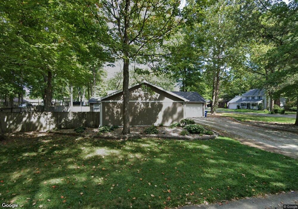
1130 Grant Cir Cicero, IN 46034
Estimated Value: $290,000 - $378,000
3
Beds
2
Baths
1,698
Sq Ft
$193/Sq Ft
Est. Value
About This Home
This home is located at 1130 Grant Cir, Cicero, IN 46034 and is currently estimated at $327,819, approximately $193 per square foot. 1130 Grant Cir is a home located in Hamilton County with nearby schools including Hamilton Heights Primary School, Hamilton Heights Elementary School, and Hamilton Heights Middle School.
Ownership History
Date
Name
Owned For
Owner Type
Purchase Details
Closed on
Mar 23, 2010
Sold by
The Bank Of New York Mellon
Bought by
Archer Ii Thomas E and Archer Carolyn
Current Estimated Value
Home Financials for this Owner
Home Financials are based on the most recent Mortgage that was taken out on this home.
Original Mortgage
$121,380
Outstanding Balance
$80,609
Interest Rate
5.02%
Mortgage Type
New Conventional
Estimated Equity
$247,210
Purchase Details
Closed on
Jan 14, 2010
Sold by
Johnson Cynthia L
Bought by
The Bank Of New York Mellon
Create a Home Valuation Report for This Property
The Home Valuation Report is an in-depth analysis detailing your home's value as well as a comparison with similar homes in the area
Home Values in the Area
Average Home Value in this Area
Purchase History
| Date | Buyer | Sale Price | Title Company |
|---|---|---|---|
| Archer Ii Thomas E | -- | None Available | |
| The Bank Of New York Mellon | $133,515 | None Available |
Source: Public Records
Mortgage History
| Date | Status | Borrower | Loan Amount |
|---|---|---|---|
| Open | Archer Ii Thomas E | $121,380 |
Source: Public Records
Tax History Compared to Growth
Tax History
| Year | Tax Paid | Tax Assessment Tax Assessment Total Assessment is a certain percentage of the fair market value that is determined by local assessors to be the total taxable value of land and additions on the property. | Land | Improvement |
|---|---|---|---|---|
| 2024 | $2,067 | $235,500 | $98,400 | $137,100 |
| 2023 | $2,067 | $228,600 | $98,400 | $130,200 |
| 2022 | $2,227 | $226,500 | $58,500 | $168,000 |
| 2021 | $1,779 | $186,600 | $58,500 | $128,100 |
| 2020 | $1,534 | $167,000 | $58,500 | $108,500 |
| 2019 | $1,311 | $148,700 | $25,500 | $123,200 |
| 2018 | $1,381 | $152,100 | $25,500 | $126,600 |
| 2017 | $1,161 | $135,200 | $25,500 | $109,700 |
| 2016 | $1,058 | $128,400 | $25,500 | $102,900 |
| 2014 | $924 | $116,600 | $27,500 | $89,100 |
| 2013 | $924 | $119,000 | $27,500 | $91,500 |
Source: Public Records
Map
Nearby Homes
- 1349 Gull Ct
- 1940 Nantucket Dr
- 1689 Nantucket Dr
- 1209 Half Moon Ln
- 88 Cedar Ln
- 815 Morse Landing Dr
- 221 Common Loon Blvd
- 826 N Lanyard Dr
- 100 Confidential Dr
- 7175 Oakbay Dr
- 999 Shoreline Cir
- 131 Batteese Dr
- 600 Lakeview Ln
- 243 Alvor Ct
- 34 Hollister Way
- 70 Armitage St
- 140 Wiley St
- 103 Edgewater Dr
- 7020 Oakbay Dr
- 7389 E 209th St
- 2410 Lincoln Dr
- 1150 Grant Cir
- 2421 Lincoln Dr
- 2429 Lincoln Dr
- 1170 Grant Cir
- 2409 Lincoln Dr
- 2450 Lincoln Dr
- 2439 Lincoln Dr
- 2380 Lincoln Dr
- 1147 Grant Cir
- 2385 Stringtown Pike
- 2389 Stringtown Pike
- 2373 Stringtown Pike
- 2385 Stringtown Park
- 1169 Grant Cir
- 2449 Lincoln Dr
- 2460 Lincoln Dr
- 2393 Stringtown Pike
- 2370 Lincoln Dr
- 2387 Lincoln Dr