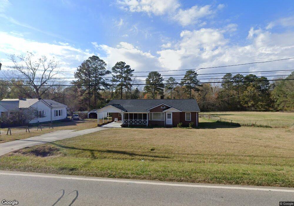
1130 Highway 77 N Union Point, GA 30669
Estimated Value: $194,000 - $267,000
2
Beds
2
Baths
1,839
Sq Ft
$121/Sq Ft
Est. Value
About This Home
This home is located at 1130 Highway 77 N, Union Point, GA 30669 and is currently estimated at $222,784, approximately $121 per square foot. 1130 Highway 77 N is a home with nearby schools including Greene County High School.
Ownership History
Date
Name
Owned For
Owner Type
Purchase Details
Closed on
Dec 7, 2011
Sold by
Griffeth W O
Bought by
Perry Annie L
Current Estimated Value
Home Financials for this Owner
Home Financials are based on the most recent Mortgage that was taken out on this home.
Original Mortgage
$81,000
Outstanding Balance
$54,936
Interest Rate
4.06%
Mortgage Type
New Conventional
Estimated Equity
$167,849
Purchase Details
Closed on
Apr 24, 2006
Sold by
Griffeth Frances E
Bought by
Griffeth W O
Purchase Details
Closed on
Jan 1, 1950
Bought by
Griffith W O
Create a Home Valuation Report for This Property
The Home Valuation Report is an in-depth analysis detailing your home's value as well as a comparison with similar homes in the area
Home Values in the Area
Average Home Value in this Area
Purchase History
| Date | Buyer | Sale Price | Title Company |
|---|---|---|---|
| Perry Annie L | $90,000 | -- | |
| Griffeth W O | -- | -- | |
| Griffith W O | -- | -- |
Source: Public Records
Mortgage History
| Date | Status | Borrower | Loan Amount |
|---|---|---|---|
| Open | Perry Annie L | $81,000 |
Source: Public Records
Tax History Compared to Growth
Tax History
| Year | Tax Paid | Tax Assessment Tax Assessment Total Assessment is a certain percentage of the fair market value that is determined by local assessors to be the total taxable value of land and additions on the property. | Land | Improvement |
|---|---|---|---|---|
| 2025 | $1,821 | $72,800 | $19,800 | $53,000 |
| 2024 | $1,735 | $68,760 | $19,800 | $48,960 |
| 2023 | $1,237 | $66,640 | $19,800 | $46,840 |
| 2022 | $1,224 | $61,880 | $19,800 | $42,080 |
| 2021 | $1,199 | $56,840 | $19,800 | $37,040 |
| 2020 | $503 | $16,800 | $5,400 | $11,400 |
| 2019 | $518 | $16,800 | $5,400 | $11,400 |
| 2018 | $379 | $16,800 | $5,400 | $11,400 |
| 2017 | $466 | $16,831 | $5,400 | $11,431 |
| 2016 | $473 | $16,831 | $5,400 | $11,431 |
| 2015 | $441 | $16,831 | $5,400 | $11,431 |
| 2014 | $429 | $15,794 | $5,400 | $10,394 |
Source: Public Records
Map
Nearby Homes
- 0 S Rhodes St Unit 10618488
- 215 Hunter St
- 0 Washington Hwy Unit 7276060
- 324 N Rhodes St
- 202 Veazey St
- 0 Woodland Ct Unit 10543600
- 1241 Old Siloam Rd
- 1041 Hillcrest Dr
- 112 Hendry St
- 1581 Highway 77 S Hwy
- 1581 Highway 77 S
- 1860 Washington Hwy
- 5401 Union Point Hwy
- 1251 Adams Rd
- 1201 Buffalo Lick Rd
- 0 Buffalo Lick Rd Unit 10551234
- 0 Buffalo Lick Rd Unit 10551325
- 0 Old Union Point Rd Unit 1 10557753
- 1251 Brick House Rd
- 1251 Brickhouse Rd
- 1120 Highway 77 N
- 4661 Georgia 44
- 901 Carlton Ave
- 807 Carlton Ave
- 903 Carlton Ave
- 905 Carlton Ave
- 201 S Rhodes St
- 907 Carlton Ave
- 805 Carlton Ave
- 209 Willow Ln
- 110 Barnes St
- 803 Carlton Ave
- 204 S Rhodes St
- 102 Hunter St
- 1121 Alexander St
- 810 Dolvin Ave
- 806 Dolvin Ave
- 902 Dolvin Ave
- 208 S Rhodes St
- 211 S Rhodes St