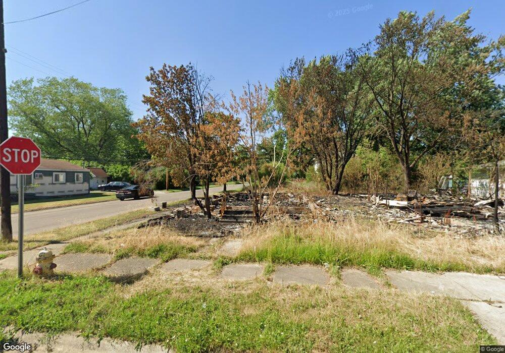
1130 Huron St Flint, MI 48507
South Side NeighborhoodEstimated Value: $54,000 - $57,000
2
Beds
1
Bath
1,000
Sq Ft
$56/Sq Ft
Est. Value
About This Home
This home is located at 1130 Huron St, Flint, MI 48507 and is currently estimated at $55,500, approximately $55 per square foot. 1130 Huron St is a home located in Genesee County with nearby schools including Neithercut Elementary School, Flint Southwestern Classical Academy, and International Academy of Flint (K-12).
Ownership History
Date
Name
Owned For
Owner Type
Purchase Details
Closed on
Mar 21, 2016
Sold by
The Genesee County Land Bank Authority
Bought by
Newman Estee
Current Estimated Value
Purchase Details
Closed on
Dec 17, 2015
Sold by
Genesee County
Bought by
Genesee County Land Bank
Purchase Details
Closed on
Jun 8, 2007
Sold by
Gorden Arthur W and Gorden Kathleen F
Bought by
Cu One
Purchase Details
Closed on
Sep 30, 2005
Sold by
Gorden Kathleen F
Bought by
Gorden Arthur W and Gorden Kathleen F
Home Financials for this Owner
Home Financials are based on the most recent Mortgage that was taken out on this home.
Original Mortgage
$29,700
Interest Rate
6.37%
Mortgage Type
New Conventional
Create a Home Valuation Report for This Property
The Home Valuation Report is an in-depth analysis detailing your home's value as well as a comparison with similar homes in the area
Home Values in the Area
Average Home Value in this Area
Purchase History
| Date | Buyer | Sale Price | Title Company |
|---|---|---|---|
| Newman Estee | $4,000 | None Available | |
| Genesee County Land Bank | -- | None Available | |
| Cu One | $32,276 | None Available | |
| Gorden Arthur W | -- | Greco Title |
Source: Public Records
Mortgage History
| Date | Status | Borrower | Loan Amount |
|---|---|---|---|
| Previous Owner | Gorden Arthur W | $29,700 |
Source: Public Records
Tax History
| Year | Tax Paid | Tax Assessment Tax Assessment Total Assessment is a certain percentage of the fair market value that is determined by local assessors to be the total taxable value of land and additions on the property. | Land | Improvement |
|---|---|---|---|---|
| 2025 | -- | $0 | $0 | $0 |
| 2024 | -- | $0 | $0 | $0 |
| 2023 | -- | $0 | $0 | $0 |
| 2022 | $0 | $0 | $0 | $0 |
| 2021 | $551 | $5,700 | $0 | $0 |
| 2020 | $520 | $5,700 | $0 | $0 |
| 2019 | $519 | $5,900 | $0 | $0 |
| 2018 | $661 | $6,300 | $0 | $0 |
| 2017 | $648 | $0 | $0 | $0 |
| 2016 | $221 | $0 | $0 | $0 |
| 2015 | -- | $0 | $0 | $0 |
| 2014 | -- | $0 | $0 | $0 |
| 2012 | -- | $7,700 | $0 | $0 |
Source: Public Records
Map
Nearby Homes
- 1234 Huron St
- 1310 Huron St
- 1310 Alvord Ave
- 1210 Pinehurst Ave
- 1318 Ingleside Ave
- 1122 Markham St
- 1028 Campbell St
- 1410 Berrywood Ln
- 1130 W Atherton Rd
- 1627 Blackberry Ln
- 1826 Greenbrook Ln
- 845 Alvord Ave
- 1514 W Atherton Rd
- 846 W Hemphill Rd
- 4502 Huckleberry Ln
- 805 Alvord Ave
- 806 Alvord Ave
- 1506 Pettibone Ave
- 1413 Lincoln Ave
- 3713 Briarwood Dr
Your Personal Tour Guide
Ask me questions while you tour the home.