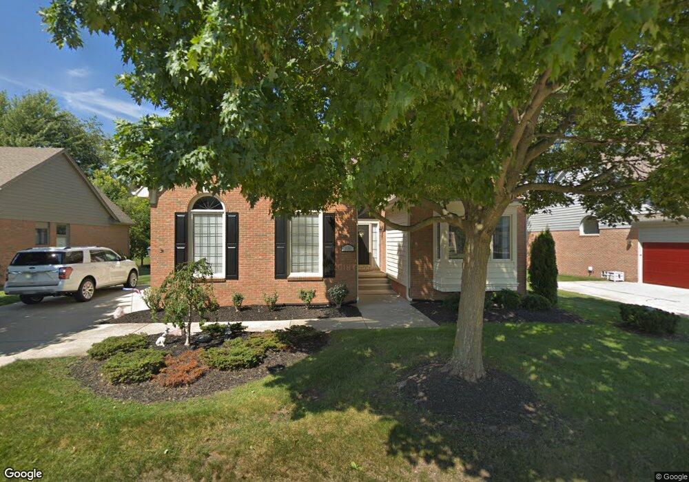
1130 Loncar Dr Unit 59 Rochester Hills, MI 48307
Estimated Value: $480,555 - $530,000
2
Beds
2
Baths
2,076
Sq Ft
$245/Sq Ft
Est. Value
About This Home
This home is located at 1130 Loncar Dr Unit 59, Rochester Hills, MI 48307 and is currently estimated at $508,139, approximately $244 per square foot. 1130 Loncar Dr Unit 59 is a home located in Oakland County with nearby schools including Brooklands Elementary School, Reuther Middle School, and Rochester High School.
Ownership History
Date
Name
Owned For
Owner Type
Purchase Details
Closed on
Jul 27, 2005
Sold by
Davis Wesley E and Davis Marsha L
Bought by
Brown John W and Brown Carolyn Y
Current Estimated Value
Home Financials for this Owner
Home Financials are based on the most recent Mortgage that was taken out on this home.
Original Mortgage
$132,600
Outstanding Balance
$69,657
Interest Rate
5.66%
Mortgage Type
Credit Line Revolving
Estimated Equity
$438,482
Purchase Details
Closed on
Nov 9, 1994
Sold by
Vent Jacobson-Avon Joint
Bought by
Davis Wesley E and Davis Marsha L
Home Financials for this Owner
Home Financials are based on the most recent Mortgage that was taken out on this home.
Original Mortgage
$117,000
Interest Rate
9.06%
Mortgage Type
New Conventional
Create a Home Valuation Report for This Property
The Home Valuation Report is an in-depth analysis detailing your home's value as well as a comparison with similar homes in the area
Home Values in the Area
Average Home Value in this Area
Purchase History
| Date | Buyer | Sale Price | Title Company |
|---|---|---|---|
| Brown John W | $322,000 | Metropolitan Title Company | |
| Davis Wesley E | $210,000 | -- |
Source: Public Records
Mortgage History
| Date | Status | Borrower | Loan Amount |
|---|---|---|---|
| Open | Brown John W | $132,600 | |
| Closed | Brown John W | $125,000 | |
| Previous Owner | Davis Wesley E | $117,000 |
Source: Public Records
Tax History Compared to Growth
Tax History
| Year | Tax Paid | Tax Assessment Tax Assessment Total Assessment is a certain percentage of the fair market value that is determined by local assessors to be the total taxable value of land and additions on the property. | Land | Improvement |
|---|---|---|---|---|
| 2022 | $2,070 | $191,380 | $0 | $0 |
| 2018 | $3,430 | $163,780 | $0 | $0 |
| 2017 | $3,362 | $158,890 | $0 | $0 |
| 2015 | -- | $145,350 | $0 | $0 |
| 2014 | -- | $127,690 | $0 | $0 |
| 2011 | -- | $111,230 | $0 | $0 |
Source: Public Records
Map
Nearby Homes
- 1166 Sugar Creek Dr
- 2574 Culbertson Ave
- 2082 Avon Lake Ln
- 980 Briston Dr
- 2460 Emmons Ave
- 2333 Longview Ave
- 2580 Longview Ave
- 830 Dartmouth Dr
- 1480 E Hamlin Rd
- 2025 Somerville
- 2198 London Bridge Dr
- 513 Tennyson
- 2182 London Bridge Dr Unit G38
- 2162 London Bridge Dr Unit 56
- 535 Tennyson Unit 48
- 587 Tennyson
- 653 Glasgow Ct Unit 207
- Vacant Willowood Dr
- 733 Hamilton Ct Unit 120
- 525 Oxford Ct
- 1116 Loncar Dr Unit 58
- 1116 Loncar Dr
- 1142 Loncar Dr
- 1127 Bluebird Dr
- 1115 Bluebird Dr Unit 51
- 1156 Loncar Dr
- 1104 Loncar Dr Unit 57
- 1139 Bluebird Dr Unit 49
- 1139 Bluebird Dr
- 1103 Bluebird Dr Unit 52
- 1151 Bluebird Dr
- 1144 Sugar Creek Dr
- 1192 Sugar Creek Dr
- 1092 Loncar Dr Unit 56
- 1120 Sugar Creek Dr
- 1091 Bluebird Dr
- 1170 Loncar Dr
- 1163 Bluebird Dr
- 1108 Sugar Creek Dr
- 1130 Bluebird Dr