1130 N Us Highway 17 Pierson, FL 32180
Estimated Value: $541,000
3
Beds
2
Baths
2,088
Sq Ft
$259/Sq Ft
Est. Value
About This Home
This home is located at 1130 N Us Highway 17, Pierson, FL 32180 and is currently estimated at $541,000, approximately $259 per square foot. 1130 N Us Highway 17 is a home located in Volusia County with nearby schools including Pierson Elementary School and T. Dewitt Taylor Middle/High School.
Ownership History
Date
Name
Owned For
Owner Type
Purchase Details
Closed on
Nov 30, 2006
Sold by
West Corbin Sam and West Patricia H
Bought by
Akers John O and Akers William
Current Estimated Value
Purchase Details
Closed on
Oct 15, 1992
Bought by
Akers John O
Purchase Details
Closed on
May 15, 1992
Bought by
Akers John O
Purchase Details
Closed on
Jul 15, 1986
Bought by
Akers John O
Purchase Details
Closed on
Sep 15, 1985
Bought by
Akers John O
Purchase Details
Closed on
Aug 15, 1985
Bought by
Akers John O
Create a Home Valuation Report for This Property
The Home Valuation Report is an in-depth analysis detailing your home's value as well as a comparison with similar homes in the area
Home Values in the Area
Average Home Value in this Area
Purchase History
| Date | Buyer | Sale Price | Title Company |
|---|---|---|---|
| Akers John O | $750,000 | None Available | |
| Akers John O | $105,000 | -- | |
| Akers John O | $97,500 | -- | |
| Akers John O | $130,000 | -- | |
| Akers John O | $100 | -- | |
| Akers John O | $100 | -- |
Source: Public Records
Tax History Compared to Growth
Tax History
| Year | Tax Paid | Tax Assessment Tax Assessment Total Assessment is a certain percentage of the fair market value that is determined by local assessors to be the total taxable value of land and additions on the property. | Land | Improvement |
|---|---|---|---|---|
| 2025 | $3,986 | $440,286 | $224,860 | $215,426 |
| 2024 | $3,986 | $265,416 | -- | -- |
| 2023 | $3,986 | $230,908 | $0 | $0 |
| 2022 | $3,715 | $204,555 | $0 | $0 |
| 2021 | $3,569 | $164,733 | $0 | $0 |
| 2019 | $3,593 | $155,169 | $0 | $0 |
| 2018 | $3,727 | $157,940 | $0 | $0 |
| 2017 | $3,681 | $151,152 | $0 | $0 |
| 2016 | $2,797 | $115,067 | $0 | $0 |
| 2015 | $2,987 | $120,742 | $0 | $0 |
| 2014 | $2,930 | $117,775 | $0 | $0 |
Source: Public Records
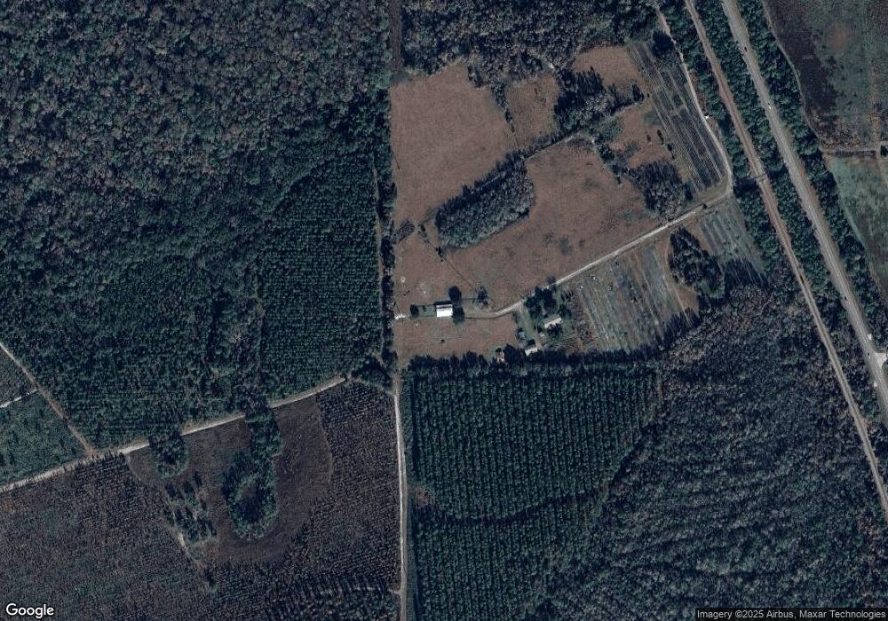
Map
Nearby Homes
- 140 Little Brown Church Rd
- 0 Turkey Shoot Rd
- 850 Menton Rd
- 821 Cedar Way
- 0 Ninemile Point Rd Unit MFRO6266114
- 0 Ninemile Point Rd Unit 1201308
- 1494 Tilly Bird Rd
- 0 N St Unit R11070082
- 642 Glenhaven Ave
- 504 Raulerson Rd
- 407 Raulerson Rd
- 153 Old Bubbly Rd
- 1970 Mcbride Rd
- 0 Minshew Rd
- 0 Us-17 & 1st St E
- 125 W 1st Ave
- 195 N Frederick St
- 110 N Volusia Ave
- 0000 U S 17
- 161 W 2nd Ave
- 1130 N Us Hwy 17
- 1151 U S 17
- 145 Little Brown Church Rd
- 160 Little Brown Church Rd
- 200 Little Brown Church Rd
- 1215 U S 17
- 205 Little Brown Church Rd
- 220 Nolan Rd
- 224 Little Brown Church Rd
- N Us Highway 17
- 115 Nolan Rd
- 235 Little Brown Church Rd
- 157 Nolan Rd
- 181 Nolan Rd
- 120 Volusian Forest Trail
- 142 Nolan Rd
- 1126 Cowart Rd
- 265 Little Brown Church Rd
- 174 Nolan Rd
- 278 Little Brown Church Rd