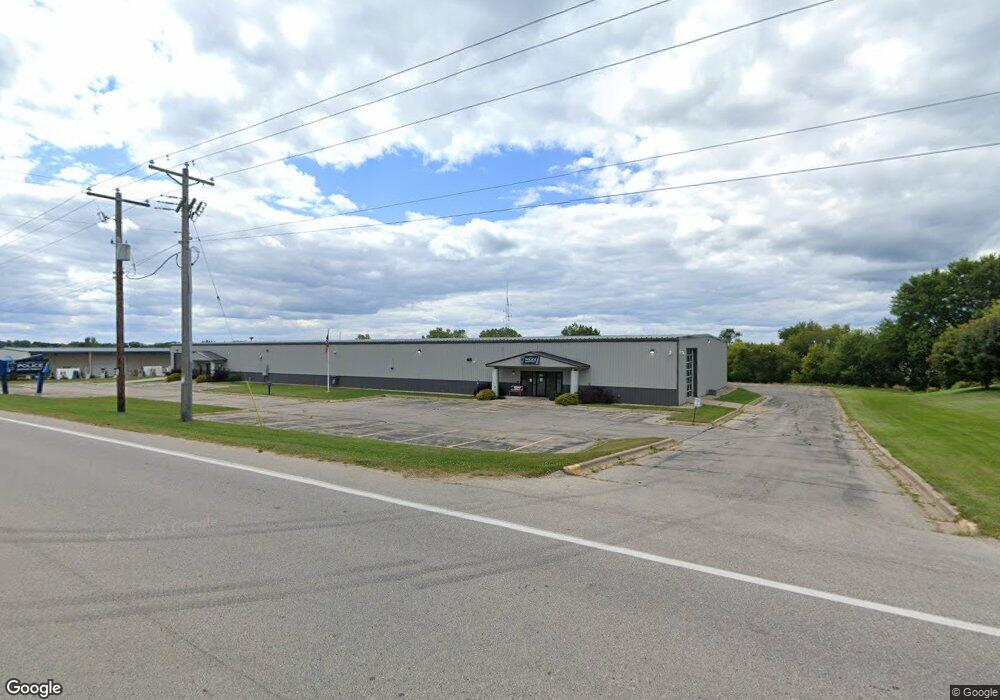
1130 Nelson Pkwy Viroqua, WI 54665
--
Bed
--
Bath
20,000
Sq Ft
2.35
Acres
About This Home
This home is located at 1130 Nelson Pkwy, Viroqua, WI 54665. 1130 Nelson Pkwy is a home located in Vernon County with nearby schools including Viroqua Elementary School, Viroqua Middle School, and Viroqua High School.
Ownership History
Date
Name
Owned For
Owner Type
Purchase Details
Closed on
May 8, 2017
Sold by
Vernon Area Rehabilitation Center Inc
Bought by
Felton Properties Of Viroqua Llc
Home Financials for this Owner
Home Financials are based on the most recent Mortgage that was taken out on this home.
Original Mortgage
$785,492
Outstanding Balance
$655,549
Interest Rate
4.23%
Mortgage Type
Future Advance Clause Open End Mortgage
Purchase Details
Closed on
Dec 21, 2011
Sold by
Kard Llc
Bought by
Vernon Area Rehabilitation Center Inc
Create a Home Valuation Report for This Property
The Home Valuation Report is an in-depth analysis detailing your home's value as well as a comparison with similar homes in the area
Home Values in the Area
Average Home Value in this Area
Purchase History
| Date | Buyer | Sale Price | Title Company |
|---|---|---|---|
| Felton Properties Of Viroqua Llc | $530,000 | New Castle Title | |
| Vernon Area Rehabilitation Center Inc | $560,000 | None Available |
Source: Public Records
Mortgage History
| Date | Status | Borrower | Loan Amount |
|---|---|---|---|
| Open | Felton Properties Of Viroqua Llc | $785,492 |
Source: Public Records
Tax History Compared to Growth
Tax History
| Year | Tax Paid | Tax Assessment Tax Assessment Total Assessment is a certain percentage of the fair market value that is determined by local assessors to be the total taxable value of land and additions on the property. | Land | Improvement |
|---|---|---|---|---|
| 2024 | -- | $0 | $0 | $0 |
| 2023 | $0 | $0 | $0 | $0 |
| 2022 | $0 | $0 | $0 | $0 |
| 2021 | $0 | $0 | $0 | $0 |
| 2020 | $15,053 | $666,200 | $59,800 | $606,400 |
| 2019 | $15,012 | $666,200 | $59,800 | $606,400 |
| 2018 | $16,446 | $641,700 | $59,800 | $581,900 |
| 2017 | $13,526 | $552,700 | $59,800 | $492,900 |
| 2016 | $13,630 | $552,700 | $59,800 | $492,900 |
| 2015 | $14,367 | $552,700 | $59,800 | $492,900 |
| 2014 | $13,489 | $552,700 | $59,800 | $492,900 |
| 2013 | $13,818 | $552,700 | $59,800 | $492,900 |
Source: Public Records
Map
Nearby Homes
- 912 Silverthorne Dr
- 914 Silverthorne Dr
- 401 Fairview Dr
- 756 N Main St
- 729 N Main St
- 1230 N Main St
- 651 E Decker St
- 220 W Broadway St
- 125 N Lincoln Ave
- 313 N Main St
- 115 Crestline St
- 222 W Decker St
- 231 S Rusk Ave
- 000 Abbey Ln
- 130 W Maple St
- 720 S Main St
- 208 Circle Dr S
- 727 Garfield Ave
- 1 Sandy Oak Dr
- 807 S Main St
- 807 N East Ave
- 746 N East Ave
- 913 Silverthorne Dr
- 917 Silverthorne Dr
- 919 Silverthorne Dr
- S4499 Railroad Ave
- S4463 Railroad Ave
- 910 Railroad Ave
- 906 Railroad Ave
- 902 Railroad Ave
- S4498 Railroad Ave Unit B
- 901 Railroad Ave
- 814 Railroad Ave
- 809 Railroad Ave
- 808 Railroad Ave
- 430 Fairview Dr
- 865 Railroad Ave
- 420 Fairview Dr
- 806 Railroad Ave
- S4466 Us Highway 14