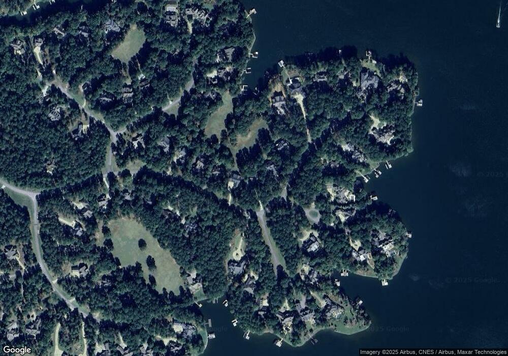
1130 Parrotts Cove Rd Greensboro, GA 30642
Estimated Value: $1,339,000 - $1,951,000
--
Bed
3
Baths
2,329
Sq Ft
$685/Sq Ft
Est. Value
About This Home
This home is located at 1130 Parrotts Cove Rd, Greensboro, GA 30642 and is currently estimated at $1,595,144, approximately $684 per square foot. 1130 Parrotts Cove Rd is a home located in Greene County with nearby schools including Greene County High School.
Ownership History
Date
Name
Owned For
Owner Type
Purchase Details
Closed on
Nov 13, 1998
Sold by
Lindsay Lindsay S and Lindsay Jayne H
Bought by
Mill Michael E
Current Estimated Value
Purchase Details
Closed on
May 19, 1998
Sold by
Lindsay Lindsay S and Lindsay Jayne H
Bought by
Lindsay Lindsay S and Lindsay Jayne H
Purchase Details
Closed on
Aug 30, 1996
Sold by
Lindsay S Keith
Bought by
Lindsay Lindsay S and Lindsay Jayne H
Purchase Details
Closed on
Jul 6, 1995
Bought by
Lindsay S Keith
Create a Home Valuation Report for This Property
The Home Valuation Report is an in-depth analysis detailing your home's value as well as a comparison with similar homes in the area
Home Values in the Area
Average Home Value in this Area
Purchase History
| Date | Buyer | Sale Price | Title Company |
|---|---|---|---|
| Mill Michael E | $541,000 | -- | |
| Lindsay Lindsay S | -- | -- | |
| Lindsay Lindsay S | -- | -- | |
| Lindsay S Keith | $95,000 | -- |
Source: Public Records
Tax History Compared to Growth
Tax History
| Year | Tax Paid | Tax Assessment Tax Assessment Total Assessment is a certain percentage of the fair market value that is determined by local assessors to be the total taxable value of land and additions on the property. | Land | Improvement |
|---|---|---|---|---|
| 2024 | $7,506 | $475,480 | $162,000 | $313,480 |
| 2023 | $5,788 | $363,560 | $60,000 | $303,560 |
| 2022 | $4,222 | $226,200 | $50,000 | $176,200 |
| 2021 | $3,744 | $187,360 | $26,000 | $161,360 |
| 2020 | $4,050 | $183,920 | $67,480 | $116,440 |
| 2019 | $4,110 | $183,920 | $67,480 | $116,440 |
| 2018 | $4,087 | $183,920 | $67,480 | $116,440 |
| 2017 | $3,812 | $182,298 | $67,500 | $114,798 |
| 2016 | $3,842 | $183,751 | $67,500 | $116,251 |
| 2015 | $3,771 | $183,751 | $67,500 | $116,251 |
| 2014 | $4,106 | $195,415 | $90,000 | $105,415 |
Source: Public Records
Map
Nearby Homes
- 1070 & 1080 Cotton Gin Rd
- 1000 Troublesome Creek Ln
- 1020 Troublesome Creek Ln
- 1040 Parrotts Cove Rd
- 1041 Parrotts Cove Rd
- 1551 Jackson Ridge Rd
- 1010 Monfort Ct
- 1020 Monfort Ct
- 1330 Parrott Trace
- 1321 Jackson Ridge Rd
- 1831 Parrotts Pointe Rd
- 1090 Curtright Place
- 1241 Parrott Trace
- 1090 Henrys Hill
- 1070 Prosperity Point
- 1070 Prosperity Pointe
- 1020 Grove Ct
- 2071 Flemings Knoll
- 1120 Parrotts Cove Rd
- 1140 Parrotts Cove Rd
- 1110 Parrotts Cove Rd
- 1150 Parrotts Cove Rd
- 0 Mitchell Hill Ct
- 1100 Parrotts Cove Rd
- 1141 Parrotts Cove Rd
- 1010 Mitchell Hill Ct
- 1021 Mitchell Hill Ct
- 1171 Parrotts Cove Rd
- 0 Parrotts Cove Rd Unit 137 2836173
- 0 Parrotts Cove Rd Unit 7316801
- 0 Parrotts Cove Rd Unit 3177138
- 0 Parrotts Cove Rd Unit 3046384
- 0 Parrotts Cove Rd Unit 8973303
- 0 Parrotts Cove Rd Unit 8957800
- 0 Parrotts Cove Rd Unit 8975833
- 0 Parrotts Cove Rd Unit 8092071
- 0 Parrotts Cove Rd Unit 8220185
- 0 Parrotts Cove Rd Unit 8910181
