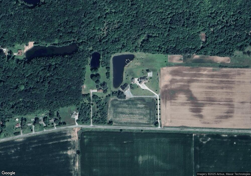
11300 Brant Rd Saint Charles, MI 48655
Estimated Value: $391,000 - $632,024
3
Beds
2
Baths
2,362
Sq Ft
$208/Sq Ft
Est. Value
About This Home
This home is located at 11300 Brant Rd, Saint Charles, MI 48655 and is currently estimated at $490,675, approximately $207 per square foot. 11300 Brant Rd is a home with nearby schools including St. Charles Elementary School and St. Charles Community Middle/High School.
Ownership History
Date
Name
Owned For
Owner Type
Purchase Details
Closed on
Feb 24, 2017
Sold by
Cornford Patrick R and Cornford Kelly J
Bought by
Cornford Patrick R and Cornford Kelly J
Current Estimated Value
Purchase Details
Closed on
Jul 10, 2009
Sold by
Juanita Podoba Revocable Living Trust
Bought by
Cornford Patrick R and Cornford Kelly J
Home Financials for this Owner
Home Financials are based on the most recent Mortgage that was taken out on this home.
Original Mortgage
$94,500
Outstanding Balance
$62,641
Interest Rate
5.62%
Estimated Equity
$428,034
Create a Home Valuation Report for This Property
The Home Valuation Report is an in-depth analysis detailing your home's value as well as a comparison with similar homes in the area
Home Values in the Area
Average Home Value in this Area
Purchase History
| Date | Buyer | Sale Price | Title Company |
|---|---|---|---|
| Cornford Patrick R | -- | None Available | |
| Cornford Patrick R | $105,000 | -- |
Source: Public Records
Mortgage History
| Date | Status | Borrower | Loan Amount |
|---|---|---|---|
| Open | Cornford Patrick R | $94,500 |
Source: Public Records
Tax History Compared to Growth
Tax History
| Year | Tax Paid | Tax Assessment Tax Assessment Total Assessment is a certain percentage of the fair market value that is determined by local assessors to be the total taxable value of land and additions on the property. | Land | Improvement |
|---|---|---|---|---|
| 2025 | $7,266 | $297,100 | $0 | $0 |
| 2024 | $2,282 | $275,000 | $0 | $0 |
| 2023 | $2,174 | $255,700 | $0 | $0 |
| 2022 | $6,157 | $221,300 | $0 | $0 |
| 2021 | $5,569 | $202,400 | $0 | $0 |
| 2020 | $5,278 | $192,200 | $0 | $0 |
| 2019 | $4,413 | $164,700 | $0 | $0 |
| 2018 | $1,644 | $160,900 | $0 | $0 |
| 2017 | $3,964 | $151,000 | $0 | $0 |
| 2016 | $3,924 | $146,400 | $0 | $0 |
| 2014 | -- | $134,600 | $0 | $106,500 |
| 2013 | -- | $132,200 | $0 | $0 |
Source: Public Records
Map
Nearby Homes
- 12034 Carr Rd
- 710 Chesaning St
- 13869 Hanchett Rd
- 120 S Miami St
- 0 W Walnut St Unit 50159593
- 135 W Walnut St
- 123 E Maple St
- vl E Maple St
- 213 E Oak St
- 12000 W Townline Rd
- 7899 Beaver Rd
- 12100 Raucholz Rd
- 14600 Corunna Rd
- 15852 W Brant Rd
- 12385 Baumgartner Rd
- 10505 S Hemlock Rd
- 10854 S Hemlock Rd
- V/L #4 Brookshire Dr
- V/L #5 Brookshire Dr
- 0 Arrowhead 1-A Dr Unit 50184284
- 11900 Brant Rd
- 11900 Brant Rd
- 12050 Brant Rd
- 12070 Brant Rd
- 12090 Brant Rd
- 12118 Brant Rd
- 12120 Brant Rd
- 12174 Brant Rd
- 12192 Brant Rd
- 10965 S Graham Rd
- 12161 Three Oaks Dr
- 10977 S Graham Rd Unit M-52
- 10977 S Graham Rd
- 10957 S Graham Rd
- 10901 S Graham Rd
- 10625 Rockford Dr
- 10883 S Graham Rd
- 12055 Stratford Dr
- 10999 Graham Rd M-52
- 12075 Stratford Dr