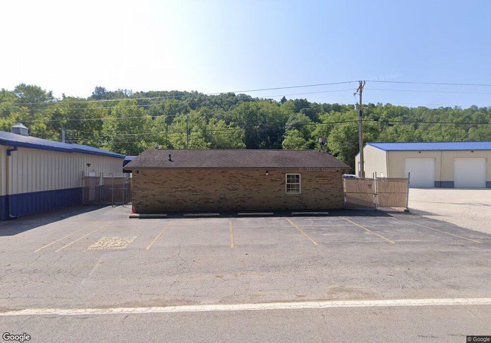
11300 State Route 217 Unit ComO-1 Scottown, OH 45678
Estimated Value: $138,370
--
Bed
--
Bath
2,600
Sq Ft
$53/Sq Ft
Est. Value
About This Home
This home is located at 11300 State Route 217 Unit ComO-1, Scottown, OH 45678 and is currently estimated at $138,370, approximately $53 per square foot. 11300 State Route 217 Unit ComO-1 is a home located in Lawrence County with nearby schools including Symmes Valley Elementary School and Symmes Valley High School.
Ownership History
Date
Name
Owned For
Owner Type
Purchase Details
Closed on
Jul 17, 2016
Sold by
Hecla Water Association
Bought by
Scottown Land Group Llc
Current Estimated Value
Purchase Details
Closed on
Jan 29, 2016
Sold by
Lawrence Water Corp
Bought by
The Hecla Water Assn
Purchase Details
Closed on
Oct 22, 2002
Sold by
Stevenson Darlene Kaye
Bought by
Lawrence Water Corporatio
Purchase Details
Closed on
May 16, 2000
Sold by
Hayes Irene
Bought by
Stevenson Darlene Kaye
Purchase Details
Closed on
Nov 18, 1994
Sold by
Hayes Billy R and Hayes Irene
Bought by
Hayes Irene
Create a Home Valuation Report for This Property
The Home Valuation Report is an in-depth analysis detailing your home's value as well as a comparison with similar homes in the area
Home Values in the Area
Average Home Value in this Area
Purchase History
| Date | Buyer | Sale Price | Title Company |
|---|---|---|---|
| Scottown Land Group Llc | $70,000 | None Available | |
| The Hecla Water Assn | -- | None Available | |
| Lawrence Water Corporatio | $25,000 | -- | |
| Stevenson Darlene Kaye | $65,000 | -- | |
| Hayes Irene | -- | -- |
Source: Public Records
Tax History Compared to Growth
Tax History
| Year | Tax Paid | Tax Assessment Tax Assessment Total Assessment is a certain percentage of the fair market value that is determined by local assessors to be the total taxable value of land and additions on the property. | Land | Improvement |
|---|---|---|---|---|
| 2024 | -- | $44,850 | $1,020 | $43,830 |
| 2023 | $1,435 | $44,850 | $1,020 | $43,830 |
| 2022 | $1,430 | $44,850 | $1,020 | $43,830 |
| 2021 | $1,407 | $42,970 | $1,020 | $41,950 |
| 2020 | $1,404 | $42,970 | $1,020 | $41,950 |
| 2019 | $1,476 | $42,970 | $1,020 | $41,950 |
| 2018 | $1,185 | $32,150 | $1,020 | $31,130 |
| 2017 | $1,186 | $32,150 | $1,020 | $31,130 |
| 2016 | $1,112 | $32,150 | $1,020 | $31,130 |
| 2015 | $1,102 | $32,150 | $1,020 | $31,130 |
| 2014 | $1,105 | $32,150 | $1,020 | $31,130 |
| 2013 | $1,099 | $32,150 | $1,020 | $31,130 |
Source: Public Records
Map
Nearby Homes
- 0 Ohio 217
- 00 Ohio 217
- 11904 State Route 217
- 4754 County Road 36
- 0 County Road 12
- 1805 Long Creek Rd E
- State Route 790
- 0 Dillon Ridge Unit 23651508
- 0 Dillon Ridge Unit 181305
- State Route 790
- 2255 County Road 66
- 2202 County Road 66
- 120 County Road 408
- 810 Township Road 141
- 1334 Township Road 214th N
- 1334 McKinney Creek-Hesson Hollow Rd N
- 479 Township Road 122
- 181 Private Road 3954
- 190 Township Rd
- 168 Township Road 122 W
- 11300 State Route 217
- 11132 State Route 217
- 9662 Ohio 217
- 11278 State Route 217
- 11366 State Route 217
- 11188 State Route 217
- 11236 State Route 217
- 11198 State Route 217
- 11447 State Route 217
- 11189 State Route 217
- 9198 State Route 775
- 11486 State Route 217
- 332 County Road 67
- 11509 State Route 217
- 11528 State Route 217
- 175 County Road 37
- 9007 State Route 775
- 316 County Road 37
- 11528 Ohio 217
- 11637 State Route 217