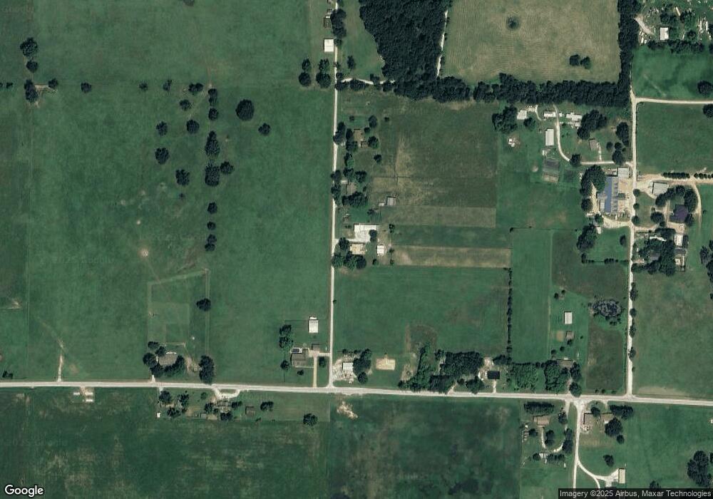
11302 Southfork Rd Prairie Grove, AR 72753
Estimated Value: $191,000 - $284,000
--
Bed
2
Baths
1,499
Sq Ft
$165/Sq Ft
Est. Value
About This Home
This home is located at 11302 Southfork Rd, Prairie Grove, AR 72753 and is currently estimated at $247,891, approximately $165 per square foot. 11302 Southfork Rd is a home located in Washington County with nearby schools including Prairie Grove Elementary School, Prairie Grove Middle School, and Prairie Grove Junior High School.
Ownership History
Date
Name
Owned For
Owner Type
Purchase Details
Closed on
Apr 12, 1996
Bought by
Roberts Tommy J
Current Estimated Value
Purchase Details
Closed on
Mar 21, 1995
Bought by
Mccracken Timothy L
Purchase Details
Closed on
Oct 18, 1994
Bought by
Cohea Atlas and Cohea Fannie
Purchase Details
Closed on
Jan 10, 1986
Bought by
Sargent Barbara
Purchase Details
Closed on
Jan 6, 1986
Bought by
Cohea Atlas and Cohea Fannie
Purchase Details
Closed on
Jan 1, 1985
Bought by
Long Rickey and Long Brenda
Create a Home Valuation Report for This Property
The Home Valuation Report is an in-depth analysis detailing your home's value as well as a comparison with similar homes in the area
Home Values in the Area
Average Home Value in this Area
Purchase History
| Date | Buyer | Sale Price | Title Company |
|---|---|---|---|
| Roberts Tommy J | $112,000 | -- | |
| Mccracken Timothy L | $72,000 | -- | |
| Cohea Atlas | $42,000 | -- | |
| Sargent Barbara | -- | -- | |
| Cohea Atlas | -- | -- | |
| Long Rickey | -- | -- |
Source: Public Records
Tax History Compared to Growth
Tax History
| Year | Tax Paid | Tax Assessment Tax Assessment Total Assessment is a certain percentage of the fair market value that is determined by local assessors to be the total taxable value of land and additions on the property. | Land | Improvement |
|---|---|---|---|---|
| 2025 | $703 | $39,900 | $14,180 | $25,720 |
| 2024 | $762 | $39,900 | $14,180 | $25,720 |
| 2023 | $817 | $39,900 | $14,180 | $25,720 |
| 2022 | $857 | $27,350 | $8,040 | $19,310 |
| 2021 | $806 | $27,350 | $8,040 | $19,310 |
| 2020 | $754 | $27,350 | $8,040 | $19,310 |
| 2019 | $710 | $21,680 | $6,590 | $15,090 |
| 2018 | $719 | $21,680 | $6,590 | $15,090 |
| 2017 | $617 | $21,680 | $6,590 | $15,090 |
| 2016 | $624 | $21,680 | $6,590 | $15,090 |
| 2015 | $582 | $21,680 | $6,590 | $15,090 |
| 2014 | $540 | $17,171 | $3,999 | $13,172 |
Source: Public Records
Map
Nearby Homes
- 14806 West Rd
- 10714 Viney Grove Rd
- 10591 Viney Grove Rd
- 1745 Viney Grove Rd
- 1601 Affirmed Ln
- 1498 Viney Grove Rd
- 106 Jenkins Rd
- 0 Gibb Whitmore Rd
- 261 Hearthstone Cir
- 12639 Rhine Rd
- 11327 Gibb Whitmire Rd
- 812 Cedar Ln
- 15893 Bethel Blacktop Rd
- 710 Marcella St
- 608 Catlett St
- 807 Maple St
- 0 Douglas St Unit 1293623
- 201 E Douglas St
- 505 Shady Acres Ln
- 680 Marcella St
- 11330 Southfork Rd
- 11476 Southfork Rd
- 11210 Southfork Rd
- 14624 E Battlefield Park Rd
- 14518 E Battlefield Park Rd
- 14681 E Battlefield Park Rd
- 11495 S Southfork Rd
- 14722 E Battlefield Park Rd
- 11369 Jim Hall Rd
- 11369 Jim Hall Rd
- 14717 E Battlefield Park Rd
- 14430 E Battlefield Park Rd
- 14431 E Battlefield Park Rd
- 11497 Southfork Rd
- 14427 E Battlefield Park Rd
- 11363 Jim Hall Rd
- 11302 Jim Hall Rd
- 14405 E Battlefield Park Rd
- 11324 Jim Hall Rd
- 14419 E Battlefield Park Rd
