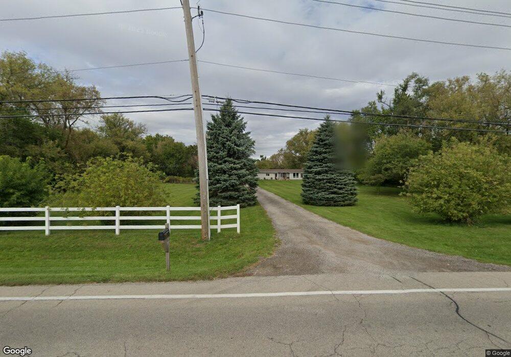
11306 Charles Rd Woodstock, IL 60098
Hebron-Aldon NeighborhoodEstimated Value: $450,741 - $501,000
--
Bed
--
Bath
1,347
Sq Ft
$348/Sq Ft
Est. Value
About This Home
This home is located at 11306 Charles Rd, Woodstock, IL 60098 and is currently estimated at $469,247, approximately $348 per square foot. 11306 Charles Rd is a home located in McHenry County with nearby schools including Mary Endres Elementary School, Northwood Middle School, and Woodstock North High School.
Ownership History
Date
Name
Owned For
Owner Type
Purchase Details
Closed on
Feb 4, 2000
Sold by
Gregory Kenneth L
Bought by
Rigsby Richard A and Timmerman Tammy A
Current Estimated Value
Home Financials for this Owner
Home Financials are based on the most recent Mortgage that was taken out on this home.
Original Mortgage
$163,850
Outstanding Balance
$53,452
Interest Rate
7.98%
Estimated Equity
$415,795
Create a Home Valuation Report for This Property
The Home Valuation Report is an in-depth analysis detailing your home's value as well as a comparison with similar homes in the area
Home Values in the Area
Average Home Value in this Area
Purchase History
| Date | Buyer | Sale Price | Title Company |
|---|---|---|---|
| Rigsby Richard A | $172,500 | -- |
Source: Public Records
Mortgage History
| Date | Status | Borrower | Loan Amount |
|---|---|---|---|
| Open | Rigsby Richard A | $163,850 |
Source: Public Records
Tax History Compared to Growth
Tax History
| Year | Tax Paid | Tax Assessment Tax Assessment Total Assessment is a certain percentage of the fair market value that is determined by local assessors to be the total taxable value of land and additions on the property. | Land | Improvement |
|---|---|---|---|---|
| 2024 | $10,340 | $141,037 | $47,279 | $93,758 |
| 2023 | $10,130 | $128,977 | $43,236 | $85,741 |
| 2022 | $9,727 | $115,893 | $38,850 | $77,043 |
| 2021 | $9,336 | $107,827 | $36,146 | $71,681 |
| 2020 | $9,059 | $102,234 | $34,271 | $67,963 |
| 2019 | $8,688 | $96,256 | $32,267 | $63,989 |
| 2018 | $8,182 | $90,305 | $30,272 | $60,033 |
| 2017 | $8,037 | $84,754 | $28,411 | $56,343 |
| 2016 | $8,114 | $79,566 | $26,672 | $52,894 |
| 2013 | -- | $78,827 | $26,424 | $52,403 |
Source: Public Records
Map
Nearby Homes
- 2505 Timberline Trail
- 2409 Mustang Trail
- 2317 Mustang Trail
- 12106 Baker Terrace
- 2801 Haydn St
- 10015 Il Route 120
- 603 Handel Ln
- 9703 Creekside Dr
- 1832 Yasgur Dr
- 908 Hickory Rd
- 1819 Woodside Dr
- 905 Hickory Rd
- 1721 Yasgur Dr
- 1313 Chatham Ln
- 9507 Prairie Edge Rd
- 3710 Raycraft Rd
- 0 Greenwood Rd
- 9206 Pine Needle Pass
- 2209 Ann Ln
- 214 Raffel Rd
- 11216 Charles Rd
- 11208 Charles Rd
- 11412 Charles Rd
- 2407 N Queen Anne Rd
- 11411 Charles Rd
- 11419 Charles Rd
- 11510 Charles Rd
- 2413 N Queen Anne Rd
- 11108 Charles Rd
- 2211 N Queen Anne Rd
- 2318 N Queen Anne Rd
- 2204 Tia Trail
- 11018 Charles Rd
- 2202 N Queen Anne Rd
- 11013 Pheasant Ln
- 2111 N Queen Anne Rd
- 11003 Pheasant Ln
- 10912 Charles Rd
- 2412 N Queen Anne Rd
- 2117 N Queen Anne Rd