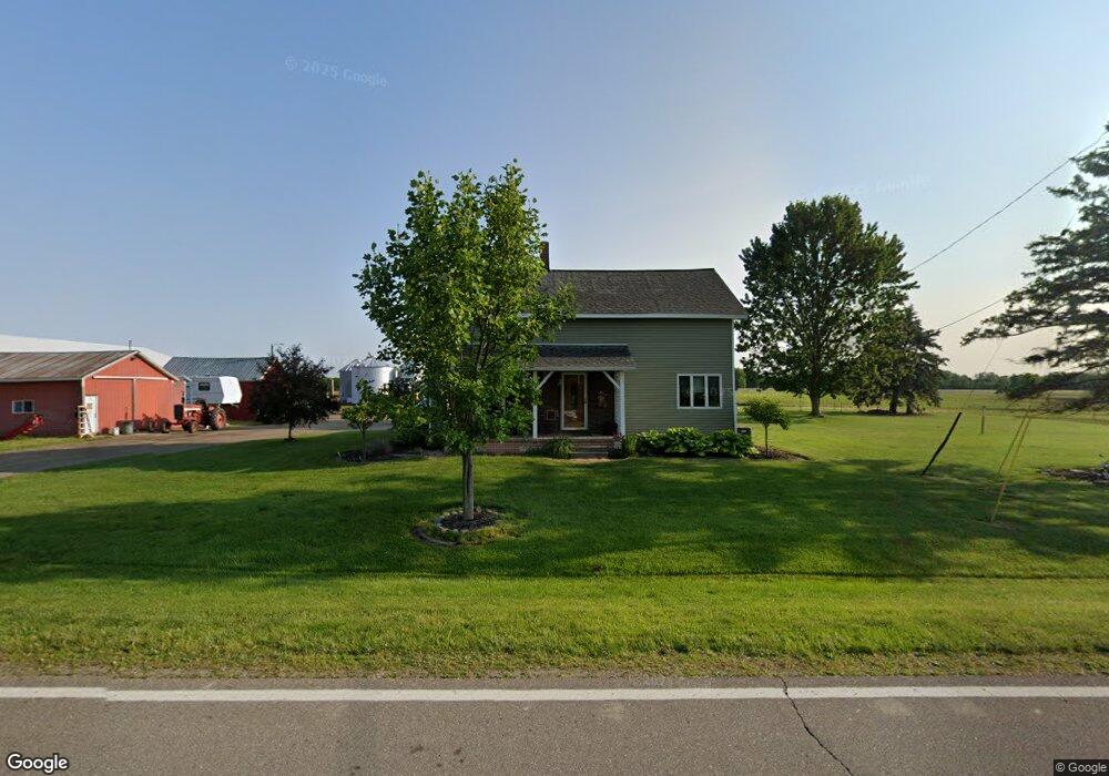
11306 Stanley Rd Flushing, MI 48433
Estimated Value: $443,000
Studio
--
Bath
1,800
Sq Ft
$246/Sq Ft
Est. Value
About This Home
This home is located at 11306 Stanley Rd, Flushing, MI 48433 and is currently estimated at $443,000, approximately $246 per square foot. 11306 Stanley Rd is a home located in Genesee County with nearby schools including Elms Elementary School, Flushing Middle School, and Flushing High School.
Ownership History
Date
Name
Owned For
Owner Type
Purchase Details
Closed on
Mar 25, 2003
Sold by
Birchmeier Rupert and Birchmeier Dorothy
Bought by
Birchmeier Arthur William and Birchmeier Connie Marie
Current Estimated Value
Home Financials for this Owner
Home Financials are based on the most recent Mortgage that was taken out on this home.
Original Mortgage
$77,400
Interest Rate
5.96%
Mortgage Type
Purchase Money Mortgage
Create a Home Valuation Report for This Property
The Home Valuation Report is an in-depth analysis detailing your home's value as well as a comparison with similar homes in the area
Home Values in the Area
Average Home Value in this Area
Purchase History
| Date | Buyer | Sale Price | Title Company |
|---|---|---|---|
| Birchmeier Arthur William | $85,000 | -- |
Source: Public Records
Mortgage History
| Date | Status | Borrower | Loan Amount |
|---|---|---|---|
| Closed | Birchmeier Arthur William | $77,400 |
Source: Public Records
Tax History
| Year | Tax Paid | Tax Assessment Tax Assessment Total Assessment is a certain percentage of the fair market value that is determined by local assessors to be the total taxable value of land and additions on the property. | Land | Improvement |
|---|---|---|---|---|
| 2025 | $4,510 | $275,600 | $0 | $0 |
| 2024 | $2,418 | $266,500 | $0 | $0 |
| 2023 | $2,307 | $242,100 | $0 | $0 |
| 2022 | $3,934 | $222,900 | $0 | $0 |
| 2021 | $3,891 | $217,600 | $0 | $0 |
| 2020 | $2,146 | $217,000 | $0 | $0 |
| 2019 | $2,124 | $206,600 | $0 | $0 |
| 2018 | $3,697 | $190,300 | $0 | $0 |
| 2017 | $1,880 | $190,300 | $0 | $0 |
| 2016 | $3,484 | $184,100 | $0 | $0 |
| 2015 | $3,165 | $175,800 | $0 | $0 |
| 2014 | $1,850 | $170,000 | $0 | $0 |
| 2012 | -- | $166,700 | $80,800 | $85,900 |
Source: Public Records
Map
Nearby Homes
- 11186 W Stanley Rd
- 8073 Nichols Rd
- 8506 Duffield Rd
- 53 Apollo Ave Unit 53
- 91 Glenn Ave Unit 91
- 271 Lovell Ct
- 11358 W Carpenter Rd Rd
- 255 Grissom Ct
- 9207 N Island Ct Unit 12
- 148 Apollo Unit 148
- 9197 Sheridan Rd
- 0 N Island Dr Unit 20230029447
- 180 Apollo Cir Unit 180
- 6355 N Mckinley Rd
- 8522 Tim Tam Trail
- 8548 Tim Tam Trail
- 10101 Carpenter Rd
- 9031 N Island Dr Unit 29
- 5315 Chickasaw Trail
- Vacant Land Rd
- 11436 Stanley Rd
- 11436 W Stanley Rd
- 11254 Stanley Rd
- 11270 Stanley Rd
- 11234 Stanley Rd
- 11212 Stanley Rd
- 11311 Stanley Rd
- 11311 W Stanley Rd
- 11426 Stanley Rd
- 11426 W Stanley Rd
- 11200 Stanley Rd
- 11218 Stanley Rd
- 7180 Duffield Rd
- 11186 Stanley Rd
- 11407 Stanley Rd
- 11421 Stanley Rd
- 7200 Duffield Rd
- 11160 Stanley Rd
- 11429 Stanley Rd
- 7222 Duffield Rd