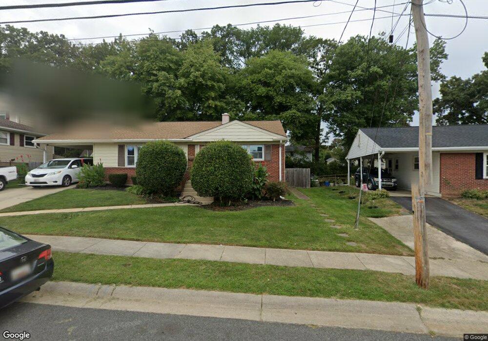
1131 12th St Laurel, MD 20707
Estimated Value: $390,000 - $463,000
3
Beds
2
Baths
1,056
Sq Ft
$398/Sq Ft
Est. Value
About This Home
This home is located at 1131 12th St, Laurel, MD 20707 and is currently estimated at $419,916, approximately $397 per square foot. 1131 12th St is a home located in Prince George's County with nearby schools including Scotchtown Hills Elementary School, Laurel High School, and Chesapeake Math and IT Academy.
Ownership History
Date
Name
Owned For
Owner Type
Purchase Details
Closed on
Sep 8, 2011
Sold by
Danahy Jane O and Simpson Eileen Danahy
Bought by
Tracy James F and Tracy Amanda E
Current Estimated Value
Home Financials for this Owner
Home Financials are based on the most recent Mortgage that was taken out on this home.
Original Mortgage
$5,000
Outstanding Balance
$3,435
Interest Rate
4.33%
Mortgage Type
Purchase Money Mortgage
Estimated Equity
$416,481
Purchase Details
Closed on
Jan 24, 1964
Bought by
Danahy Thomas R and Danahy Jane O
Create a Home Valuation Report for This Property
The Home Valuation Report is an in-depth analysis detailing your home's value as well as a comparison with similar homes in the area
Home Values in the Area
Average Home Value in this Area
Purchase History
| Date | Buyer | Sale Price | Title Company |
|---|---|---|---|
| Tracy James F | $220,000 | Dunns Title & Escrow Inc | |
| Danahy Thomas R | $18,500 | -- |
Source: Public Records
Mortgage History
| Date | Status | Borrower | Loan Amount |
|---|---|---|---|
| Open | Tracy James F | $5,000 | |
| Open | Tracy James F | $214,423 |
Source: Public Records
Tax History Compared to Growth
Tax History
| Year | Tax Paid | Tax Assessment Tax Assessment Total Assessment is a certain percentage of the fair market value that is determined by local assessors to be the total taxable value of land and additions on the property. | Land | Improvement |
|---|---|---|---|---|
| 2025 | $5,808 | $369,400 | $100,700 | $268,700 |
| 2024 | $5,808 | $344,167 | $0 | $0 |
| 2023 | $5,462 | $318,933 | $0 | $0 |
| 2022 | $5,064 | $293,700 | $75,700 | $218,000 |
| 2021 | $4,846 | $284,733 | $0 | $0 |
| 2020 | $4,736 | $275,767 | $0 | $0 |
| 2019 | $4,617 | $266,800 | $75,300 | $191,500 |
| 2018 | $4,436 | $253,567 | $0 | $0 |
| 2017 | $4,281 | $240,333 | $0 | $0 |
| 2016 | -- | $227,100 | $0 | $0 |
| 2015 | $3,279 | $222,600 | $0 | $0 |
| 2014 | $3,279 | $218,100 | $0 | $0 |
Source: Public Records
Map
Nearby Homes
- 15443 Arbory Way
- 7681 E Arbory Ct
- 8112 Fenwick Ct
- 7631 S Arbory Ln
- 7651 E Arbory Ct
- 1003 Ward St
- 15116 Laurel Oaks Ln
- 7610 Woodruff Ct
- 14811 Belle Ami Dr
- 1002 West Ct
- 1004 Marton St
- 7600 Lotus Ct
- 7419 Berryleaf Dr
- 14902 Ashford Place
- 15020 Cherrywood Dr
- 1210 Westview Terrace
- 7808 Aylesford Ln
- 612 9th St
- 1000 8th St
- 15603 Dorset Rd Unit 101