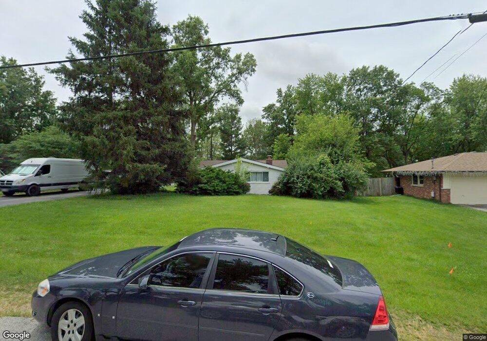
1131 Boschert Dr Saint Charles, MO 63304
Estimated Value: $315,000 - $413,000
3
Beds
2
Baths
1,756
Sq Ft
$200/Sq Ft
Est. Value
About This Home
This home is located at 1131 Boschert Dr, Saint Charles, MO 63304 and is currently estimated at $351,852, approximately $200 per square foot. 1131 Boschert Dr is a home located in St. Charles County with nearby schools including Warren Elementary School, Saeger Middle School, and Francis Howell Central High School.
Ownership History
Date
Name
Owned For
Owner Type
Purchase Details
Closed on
Aug 9, 2019
Sold by
Cook Jacob R and Cook Tara N
Bought by
Cook Jacob R and Cook Tara N
Current Estimated Value
Home Financials for this Owner
Home Financials are based on the most recent Mortgage that was taken out on this home.
Original Mortgage
$108,000
Outstanding Balance
$71,245
Interest Rate
3.7%
Mortgage Type
New Conventional
Estimated Equity
$280,607
Purchase Details
Closed on
Sep 29, 2011
Sold by
Ruhmann Karl E and Ruhmann Erna A
Bought by
Cook Jacob R
Home Financials for this Owner
Home Financials are based on the most recent Mortgage that was taken out on this home.
Original Mortgage
$116,470
Interest Rate
4.5%
Mortgage Type
FHA
Purchase Details
Closed on
Mar 12, 2004
Sold by
Ruhmann Erma A
Bought by
Ruhmann Erma A and Erma A Ruhmann Trust Revocable
Create a Home Valuation Report for This Property
The Home Valuation Report is an in-depth analysis detailing your home's value as well as a comparison with similar homes in the area
Home Values in the Area
Average Home Value in this Area
Purchase History
| Date | Buyer | Sale Price | Title Company |
|---|---|---|---|
| Cook Jacob R | -- | Touchstone Title & Abstract | |
| Cook Jacob R | $119,500 | None Available | |
| Ruhmann Erma A | -- | -- |
Source: Public Records
Mortgage History
| Date | Status | Borrower | Loan Amount |
|---|---|---|---|
| Open | Cook Jacob R | $108,000 | |
| Closed | Cook Jacob R | $116,470 |
Source: Public Records
Tax History Compared to Growth
Tax History
| Year | Tax Paid | Tax Assessment Tax Assessment Total Assessment is a certain percentage of the fair market value that is determined by local assessors to be the total taxable value of land and additions on the property. | Land | Improvement |
|---|---|---|---|---|
| 2025 | $2,916 | $67,338 | -- | -- |
| 2023 | $2,914 | $48,707 | $0 | $0 |
| 2022 | $1,998 | $30,884 | $0 | $0 |
| 2021 | $1,999 | $30,884 | $0 | $0 |
| 2020 | $1,862 | $27,816 | $0 | $0 |
| 2019 | $1,854 | $27,816 | $0 | $0 |
| 2018 | $1,744 | $24,992 | $0 | $0 |
| 2017 | $1,729 | $24,992 | $0 | $0 |
| 2016 | $1,645 | $22,875 | $0 | $0 |
| 2015 | $1,613 | $22,875 | $0 | $0 |
| 2014 | $1,613 | $22,184 | $0 | $0 |
Source: Public Records
Map
Nearby Homes
- 25 Terre Verte Ct
- 344 Mason Ridge Dr
- 102 Deer Meadow Ct
- 22 Misty Ridge Ct
- 5504 Dressel Dr
- 1622 Piedmont Cir Unit 5C
- 5576 Wavecrest Cir
- 507 Roth Ct
- 127 Cedar Mill Dr
- 828 Nancy Ln
- 301 Switchgrass Landing Ln
- 0 Universal Design Prairie Bluff Unit MAR24041208
- Rosemont Plan at Prairie Bluff - Heritage Collection
- Sierra Plan at Prairie Bluff - Heritage Collection
- Sierra – Universal Design Plan at Prairie Bluff - Heritage Collection
- Pierce Plan at Prairie Bluff - Heritage Collection
- Lancaster Plan at Prairie Bluff - Heritage Collection
- Chesapeake Plan at Prairie Bluff - Heritage Collection
- Windsor Plan at Prairie Bluff - Heritage Collection
- Bridgeport Plan at Prairie Bluff - Heritage Collection
- 1135 Boschert Dr
- 1121 Boschert Dr
- 1139 Boschert Dr
- 1020 Motherhead Rd
- 1024 Motherhead Rd
- 1132 Boschert Dr
- 1028 Motherhead Rd
- 1124 Boschert Dr
- 1016 Motherhead Rd
- 1117 Boschert Dr
- 1118 Boschert Dr
- 1032 Motherhead Rd
- 39 Cheyenne Dr
- 1008 Motherhead Rd
- 40 Cheyenne Dr
- 63 Cheyenne Dr
- 1113 Boschert Dr
- 1112 Boschert Dr
- 1036 Motherhead Rd
- 41 Shady Meadow Ct