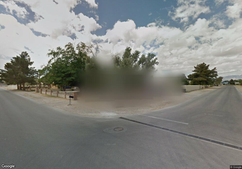
1131 Comstock Dr Las Vegas, NV 89106
West Las Vegas NeighborhoodEstimated Value: $659,657 - $837,000
7
Beds
4
Baths
4,248
Sq Ft
$174/Sq Ft
Est. Value
About This Home
This home is located at 1131 Comstock Dr, Las Vegas, NV 89106 and is currently estimated at $737,164, approximately $173 per square foot. 1131 Comstock Dr is a home located in Clark County with nearby schools including Wendell P. Williams Elementary School, West Prepatory Academy At Charlles I West Hall Sec, and Western High School.
Ownership History
Date
Name
Owned For
Owner Type
Purchase Details
Closed on
Mar 30, 1995
Sold by
Smith Robert L and Smith Gloria J
Bought by
Smith Robert L and Smith Gloria J
Current Estimated Value
Home Financials for this Owner
Home Financials are based on the most recent Mortgage that was taken out on this home.
Original Mortgage
$156,000
Interest Rate
8.81%
Purchase Details
Closed on
Jan 27, 1994
Sold by
Johnson Mattie Wade
Bought by
Smith Robert L and Smith Gloria J
Home Financials for this Owner
Home Financials are based on the most recent Mortgage that was taken out on this home.
Original Mortgage
$15,000
Interest Rate
7.19%
Mortgage Type
Seller Take Back
Create a Home Valuation Report for This Property
The Home Valuation Report is an in-depth analysis detailing your home's value as well as a comparison with similar homes in the area
Home Values in the Area
Average Home Value in this Area
Purchase History
| Date | Buyer | Sale Price | Title Company |
|---|---|---|---|
| Smith Robert L | -- | Nevada Title Company | |
| Smith Robert L | $20,000 | Nevada Title Company |
Source: Public Records
Mortgage History
| Date | Status | Borrower | Loan Amount |
|---|---|---|---|
| Closed | Smith Robert L | $156,000 | |
| Closed | Smith Robert L | $15,000 |
Source: Public Records
Tax History Compared to Growth
Tax History
| Year | Tax Paid | Tax Assessment Tax Assessment Total Assessment is a certain percentage of the fair market value that is determined by local assessors to be the total taxable value of land and additions on the property. | Land | Improvement |
|---|---|---|---|---|
| 2025 | $2,645 | $125,419 | $53,550 | $71,869 |
| 2024 | $2,569 | $125,419 | $53,550 | $71,869 |
| 2023 | $2,569 | $126,967 | $62,475 | $64,492 |
| 2022 | $2,734 | $101,813 | $43,750 | $58,063 |
| 2021 | $2,532 | $94,134 | $40,250 | $53,884 |
| 2020 | $2,348 | $83,872 | $31,500 | $52,372 |
| 2019 | $2,200 | $82,612 | $31,500 | $51,112 |
| 2018 | $2,100 | $72,454 | $23,800 | $48,654 |
| 2017 | $2,363 | $72,071 | $22,750 | $49,321 |
| 2016 | $1,966 | $66,467 | $17,500 | $48,967 |
| 2015 | $1,961 | $61,731 | $14,000 | $47,731 |
| 2014 | $1,904 | $56,359 | $10,500 | $45,859 |
Source: Public Records
Map
Nearby Homes
- 1713 Ophir Dr
- 1310 N Tonopah Dr
- 2133 Sleepy Ct
- 2211 Sleepy Ct
- 1301 Madison Ave
- 814 W Bonanza Rd
- 2400 Dutchmans Pipe Ct
- 2045 Rose Coral Ave
- 2521 Rainbow Cactus Ct
- 2520 Bottle Palm Ct
- 1201 Leonard Ave
- 1121 W Monroe Ave
- 35 Jade Cir
- 27 Onyx Way
- 1604 Luning Dr
- 1101 Leonard Ave
- 1921 Granite Ave
- 1908 W Mesquite Ave
- 2624 Feather Cactus Ct
- 2625 Chin Cactus Ct
- 1119 Comstock Dr
- 1921 Fair Ave
- 1133 Comstock Dr
- 1117 Comstock Dr
- 1124 Comstock Dr
- 1920 Fair Ave
- 1931 Fair Ave
- 1134 Comstock Dr
- 1135 Comstock Dr
- 1116 Comstock Dr
- 1920 Ophir Dr
- 1101 Comstock Dr
- 1200 Comstock Dr
- 1930 Fair Ave
- 1930 Ophir Dr
- 1941 Fair Ave
- 1100 Comstock Dr
- 1940 Fair Ave
- 1123 Ralston Dr
- 1940 Ophir Dr