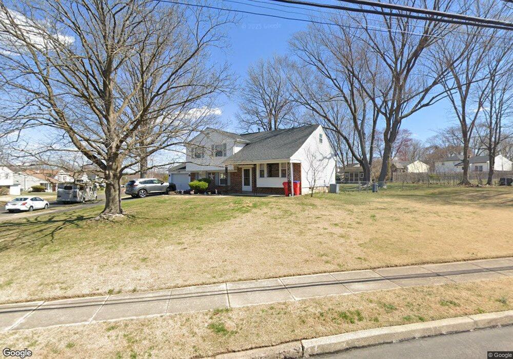
1131 Dager Rd Warminster, PA 18974
Estimated Value: $484,938 - $522,000
3
Beds
3
Baths
1,067
Sq Ft
$468/Sq Ft
Est. Value
About This Home
This home is located at 1131 Dager Rd, Warminster, PA 18974 and is currently estimated at $499,485, approximately $468 per square foot. 1131 Dager Rd is a home located in Bucks County with nearby schools including Willow Dale Elementary School, Log College Middle School, and William Tennent High School.
Ownership History
Date
Name
Owned For
Owner Type
Purchase Details
Closed on
Aug 27, 2004
Sold by
Sharkey Carol R
Bought by
Weckerly Craig S and Weckerly Renee M
Current Estimated Value
Home Financials for this Owner
Home Financials are based on the most recent Mortgage that was taken out on this home.
Original Mortgage
$210,000
Interest Rate
5.85%
Mortgage Type
Purchase Money Mortgage
Purchase Details
Closed on
Feb 21, 1991
Bought by
Sharkey Edward J Jr
Create a Home Valuation Report for This Property
The Home Valuation Report is an in-depth analysis detailing your home's value as well as a comparison with similar homes in the area
Home Values in the Area
Average Home Value in this Area
Purchase History
| Date | Buyer | Sale Price | Title Company |
|---|---|---|---|
| Weckerly Craig S | $290,000 | -- | |
| Sharkey Edward J Jr | -- | -- |
Source: Public Records
Mortgage History
| Date | Status | Borrower | Loan Amount |
|---|---|---|---|
| Previous Owner | Weckerly Craig S | $210,000 |
Source: Public Records
Tax History
| Year | Tax Paid | Tax Assessment Tax Assessment Total Assessment is a certain percentage of the fair market value that is determined by local assessors to be the total taxable value of land and additions on the property. | Land | Improvement |
|---|---|---|---|---|
| 2025 | $5,910 | $28,000 | $6,520 | $21,480 |
| 2024 | $5,910 | $28,000 | $6,520 | $21,480 |
| 2023 | $5,728 | $28,000 | $6,520 | $21,480 |
| 2022 | $5,606 | $28,000 | $6,520 | $21,480 |
| 2021 | $5,475 | $28,000 | $6,520 | $21,480 |
| 2020 | $5,398 | $28,000 | $6,520 | $21,480 |
| 2019 | $5,111 | $28,000 | $6,520 | $21,480 |
| 2018 | $4,989 | $28,000 | $6,520 | $21,480 |
| 2017 | $4,843 | $28,000 | $6,520 | $21,480 |
| 2016 | $4,843 | $28,000 | $6,520 | $21,480 |
| 2015 | $4,901 | $28,000 | $6,520 | $21,480 |
| 2014 | $4,901 | $28,000 | $6,520 | $21,480 |
Source: Public Records
Map
Nearby Homes
- 1067 Log College Dr
- Lot 19 Kennedy Way
- 980 Marshall Dr
- 1167 W Bristol Rd
- 916 Log College Dr
- 1493 Maguire Ln
- 0 W Bristol Rd
- 942 Stein Ct
- 1036 Oakwood Dr
- 1465 Breton Hill Dr
- 992 Jamison St
- 1024 Gates Place
- 1477 Stony Rd Unit RUTLEDGE
- 1477 Stony Rd
- 1501 Stony Rd
- 1525 Stony Rd Unit RAINTREE
- 1402 Valley View
- 909 Holden Ct
- 0 Stony Rd Unit ROLLINS
- 0 Stony Rd Unit KINGSWOOD
Your Personal Tour Guide
Ask me questions while you tour the home.