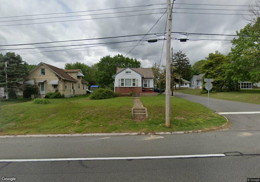
1131 Mantua Pike West Deptford, NJ 08051
West Deptford Township NeighborhoodEstimated Value: $197,162 - $265,000
--
Bed
--
Bath
1,052
Sq Ft
$229/Sq Ft
Est. Value
About This Home
This home is located at 1131 Mantua Pike, West Deptford, NJ 08051 and is currently estimated at $240,791, approximately $228 per square foot. 1131 Mantua Pike is a home located in Gloucester County with nearby schools including Green-Fields Elementary School, Oakview Elementary School, and Red Bank Elementary School.
Ownership History
Date
Name
Owned For
Owner Type
Purchase Details
Closed on
Oct 31, 2000
Sold by
C H Residential Properties Llc
Bought by
Barker John K
Current Estimated Value
Home Financials for this Owner
Home Financials are based on the most recent Mortgage that was taken out on this home.
Original Mortgage
$53,560
Outstanding Balance
$19,665
Interest Rate
7.83%
Estimated Equity
$221,126
Purchase Details
Closed on
Jul 13, 2000
Sold by
Myers Raymond L and Myers Jennifer
Bought by
Ch Residential Properties Llc
Purchase Details
Closed on
Jun 29, 1995
Sold by
Flores Edna and Pitts Edna
Bought by
Myers Raymond L
Create a Home Valuation Report for This Property
The Home Valuation Report is an in-depth analysis detailing your home's value as well as a comparison with similar homes in the area
Home Values in the Area
Average Home Value in this Area
Purchase History
| Date | Buyer | Sale Price | Title Company |
|---|---|---|---|
| Barker John K | $52,000 | -- | |
| Ch Residential Properties Llc | -- | -- | |
| Myers Raymond L | -- | Congress Title Division | |
| Myers Raymond L | $59,000 | Congress Title Division |
Source: Public Records
Mortgage History
| Date | Status | Borrower | Loan Amount |
|---|---|---|---|
| Open | Barker John K | $53,560 |
Source: Public Records
Tax History Compared to Growth
Tax History
| Year | Tax Paid | Tax Assessment Tax Assessment Total Assessment is a certain percentage of the fair market value that is determined by local assessors to be the total taxable value of land and additions on the property. | Land | Improvement |
|---|---|---|---|---|
| 2025 | $4,372 | $125,200 | $41,600 | $83,600 |
| 2024 | $4,316 | $125,200 | $41,600 | $83,600 |
| 2023 | $4,316 | $125,200 | $41,600 | $83,600 |
| 2022 | $4,296 | $125,200 | $41,600 | $83,600 |
| 2021 | $4,281 | $125,200 | $41,600 | $83,600 |
| 2020 | $4,271 | $125,200 | $41,600 | $83,600 |
| 2019 | $4,152 | $125,200 | $41,600 | $83,600 |
| 2018 | $4,039 | $125,200 | $41,600 | $83,600 |
| 2017 | $3,945 | $125,200 | $41,600 | $83,600 |
| 2016 | $3,835 | $125,200 | $41,600 | $83,600 |
| 2015 | $3,653 | $125,200 | $41,600 | $83,600 |
| 2014 | $3,472 | $125,200 | $41,600 | $83,600 |
Source: Public Records
Map
Nearby Homes
- 111 Cove Rd
- 213 Barclay Ct
- 125 Ivy Ln
- 463 Durham Ct
- 807 Saint Regis Ct
- 411 Durham Ct Unit 411
- 827 Saint Regis Ct
- 7 Manchester Ct
- 748 Dartmouth Dr
- 75 Hickory Ave
- 629 Vassar Rd
- 100 Buddy Powell Ln
- 114 Buddy Powell Ln
- 751 Garrison Ct
- 916 Georgetown Rd
- 313 Ogden Station Rd
- 315 Ogden Station Rd
- 711 Howard Ave
- 1121 Tristram Cir Unit 1
- 1134 Tristram Cir Unit 4