1131 Parrotts Cove Rd Unit 159 Greensboro, GA 30642
Estimated Value: $1,392,923 - $2,962,000
--
Bed
--
Bath
--
Sq Ft
1.32
Acres
About This Home
This home is located at 1131 Parrotts Cove Rd Unit 159, Greensboro, GA 30642 and is currently estimated at $2,140,481. 1131 Parrotts Cove Rd Unit 159 is a home located in Greene County with nearby schools including Greene County High School.
Ownership History
Date
Name
Owned For
Owner Type
Purchase Details
Closed on
May 21, 2024
Sold by
Rhodes C L
Bought by
Rhodes Clarence L Iii Tr
Current Estimated Value
Purchase Details
Closed on
May 20, 1995
Sold by
Berry David C and Berry Janie B
Bought by
Rhodes Rhodes C and Rhodes Clarence L
Purchase Details
Closed on
May 19, 1995
Sold by
American Real Estate Inv Co
Bought by
Berry David C and Berry Janie B
Purchase Details
Closed on
Oct 17, 1994
Sold by
American Real Estate Inv Co
Bought by
American Real Estate Inv Co
Purchase Details
Closed on
Oct 4, 1994
Bought by
American Real Estate Inv Co
Create a Home Valuation Report for This Property
The Home Valuation Report is an in-depth analysis detailing your home's value as well as a comparison with similar homes in the area
Home Values in the Area
Average Home Value in this Area
Purchase History
| Date | Buyer | Sale Price | Title Company |
|---|---|---|---|
| Rhodes Clarence L Iii Tr | -- | -- | |
| Rhodes Rhodes C | $143,800 | -- | |
| Berry David C | $143,000 | -- | |
| American Real Estate Inv Co | -- | -- | |
| American Real Estate Inv Co | -- | -- |
Source: Public Records
Tax History Compared to Growth
Tax History
| Year | Tax Paid | Tax Assessment Tax Assessment Total Assessment is a certain percentage of the fair market value that is determined by local assessors to be the total taxable value of land and additions on the property. | Land | Improvement |
|---|---|---|---|---|
| 2024 | $5,854 | $382,200 | $380,400 | $1,800 |
| 2023 | $6,321 | $352,400 | $350,400 | $2,000 |
| 2022 | $6,133 | $341,880 | $340,400 | $1,480 |
| 2021 | $5,078 | $265,080 | $263,600 | $1,480 |
| 2020 | $4,500 | $212,040 | $210,000 | $2,040 |
| 2019 | $4,574 | $212,040 | $210,000 | $2,040 |
| 2018 | $4,574 | $212,040 | $210,000 | $2,040 |
| 2017 | $4,294 | $212,065 | $210,000 | $2,065 |
| 2016 | $4,298 | $212,156 | $210,000 | $2,156 |
| 2015 | $4,219 | $212,156 | $210,000 | $2,156 |
| 2014 | $4,335 | $212,346 | $210,000 | $2,346 |
Source: Public Records
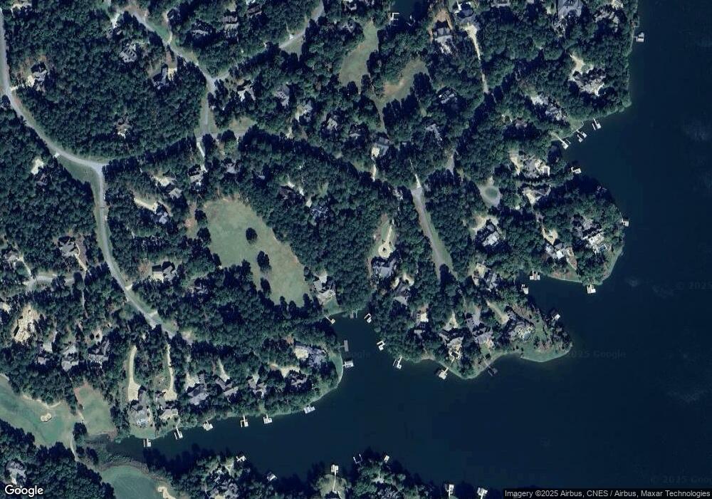
Map
Nearby Homes
- 1000 Troublesome Creek Ln
- 1551 Jackson Ridge Rd
- 1041 Parrotts Cove Rd
- 1020 Troublesome Creek Ln
- 1040 Parrotts Cove Rd
- 1070 & 1080 Cotton Gin Rd
- 1010 Monfort Ct
- 1020 Monfort Ct
- 1321 Jackson Ridge Rd
- 1330 Parrott Trace
- 1090 Curtright Place
- 1090 Henrys Hill
- 1020 Grove Ct
- 1831 Parrotts Pointe Rd
- 1030 Brickyard Ln
- 1241 Parrott Trace
- 1000 Brickyard Ln
- 1131 Parrotts Cove Rd
- 1141 Parrotts Cove Rd
- 1121 Parrotts Cove Rd
- 1111 Parrotts Cove Rd
- 1011 Dawson Ct
- 1101 Parrotts Cove Rd
- 1021 Dawson Ct
- 1120 Parrotts Cove Rd
- 1050 Whatleys Mill Ln
- 1130 Parrotts Cove Rd
- 1110 Parrotts Cove Rd
- 1091 Parrotts Cove Rd
- 1091 Parrotts Cove Rd Unit 163
- 1021 Mitchell Hill Ct
- 1100 Parrotts Cove Rd
- 1031 Dawson Ct Unit 2004
- 1031 Dawson Ct
- 1010 Dawson Ct
- 0 Mitchell Hill Ct
- 1140 Parrotts Cove Rd