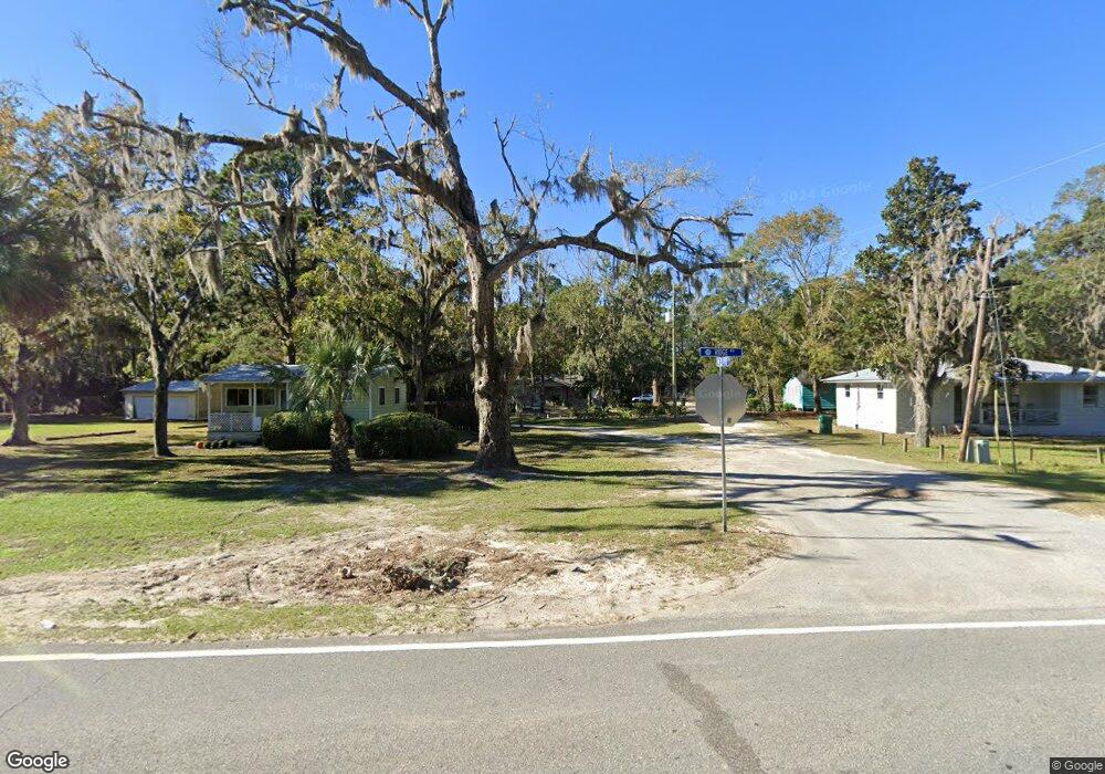
1131 Ridge Rd Darien, GA 31305
Estimated Value: $188,608 - $278,000
--
Bed
--
Bath
1,104
Sq Ft
$209/Sq Ft
Est. Value
About This Home
This home is located at 1131 Ridge Rd, Darien, GA 31305 and is currently estimated at $231,152, approximately $209 per square foot. 1131 Ridge Rd is a home with nearby schools including Todd Grant Elementary School, McIntosh County Middle School, and McIntosh County Academy.
Ownership History
Date
Name
Owned For
Owner Type
Purchase Details
Closed on
Dec 17, 2009
Sold by
Habitat For Humanity Of Mcintosh Co Inc
Bought by
Porterfield Melissa Ann
Current Estimated Value
Home Financials for this Owner
Home Financials are based on the most recent Mortgage that was taken out on this home.
Original Mortgage
$47,000
Outstanding Balance
$14,312
Interest Rate
4.82%
Mortgage Type
New Conventional
Estimated Equity
$216,840
Purchase Details
Closed on
Jan 18, 2007
Sold by
Greene Janean Yvette
Bought by
Jenkins Ernest
Create a Home Valuation Report for This Property
The Home Valuation Report is an in-depth analysis detailing your home's value as well as a comparison with similar homes in the area
Home Values in the Area
Average Home Value in this Area
Purchase History
| Date | Buyer | Sale Price | Title Company |
|---|---|---|---|
| Porterfield Melissa Ann | $92,000 | -- | |
| Jenkins Ernest | -- | -- | |
| Jenkins Ernest | -- | -- |
Source: Public Records
Mortgage History
| Date | Status | Borrower | Loan Amount |
|---|---|---|---|
| Open | Porterfield Melissa Ann | $47,000 | |
| Closed | Porterfield Melissa Ann | $45,000 |
Source: Public Records
Tax History Compared to Growth
Tax History
| Year | Tax Paid | Tax Assessment Tax Assessment Total Assessment is a certain percentage of the fair market value that is determined by local assessors to be the total taxable value of land and additions on the property. | Land | Improvement |
|---|---|---|---|---|
| 2024 | $614 | $69,320 | $3,840 | $65,480 |
| 2023 | $615 | $63,520 | $1,200 | $62,320 |
| 2022 | $505 | $52,760 | $1,200 | $51,560 |
| 2021 | $1,191 | $39,200 | $1,200 | $38,000 |
| 2020 | $470 | $37,600 | $1,200 | $36,400 |
| 2019 | $937 | $35,960 | $1,200 | $34,760 |
| 2018 | $1,092 | $35,960 | $1,200 | $34,760 |
| 2017 | $982 | $32,840 | $1,200 | $31,640 |
| 2016 | $937 | $32,840 | $1,200 | $31,640 |
| 2015 | $915 | $34,736 | $2,100 | $32,636 |
| 2014 | -- | $34,736 | $2,100 | $32,636 |
Source: Public Records
Map
Nearby Homes
- 1006 Oglethorpe Ln
- 15914 Hwy 99
- 1106 Alabama St
- 2101 Black Rd
- Lot 5 Black
- LOT 28 Black Island Rd
- 1048 Austin Place
- 1001 Poppell Dr
- 1602 Ashantilly Dr
- 309 Haven Dr
- 282 Bridgewater Ln
- 1658 Ashantilly Dr
- 1103 E Broad St
- 410 Munro St
- 505 Madison St
- 800 Wayne St
- 1225 Market St
- 1131 Bond Rd SE
- Lot 71 Cottage Way
- 1086 Cottage Way
- 1132 Ridge Rd
- 1134 Ridge Rd
- 1126 Ridge Rd
- 1120 Ridge Rd
- 1116 Ridge Rd
- 611 Bond Rd
- 0.63 Rd
- 1108 Ridge Rd
- 1010 Bond Rd SE
- 0 Highway 99 Unit 7381994
- 0 Highway 99 Unit 40348
- 0 Highway 99 Unit 11254169
- 0 Highway 99 Unit 392386
- 0 Highway 99 Unit 1558857
- Lot 1 Hwy 99
- 1115 Ridge Rd
- 1119 Ridge Rd
- 1113 Ridge Rd
- 1008 Ridge Rd
- 1063 Bond Rd