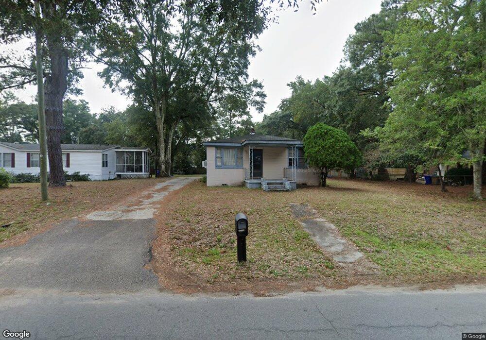
1131 Seaside Ln Charleston, SC 29412
James Island NeighborhoodEstimated Value: $302,000 - $447,000
2
Beds
1
Bath
840
Sq Ft
$454/Sq Ft
Est. Value
About This Home
This home is located at 1131 Seaside Ln, Charleston, SC 29412 and is currently estimated at $380,977, approximately $453 per square foot. 1131 Seaside Ln is a home located in Charleston County with nearby schools including Stiles Point Elementary School, Camp Road Middle, and James Island Charter High School.
Ownership History
Date
Name
Owned For
Owner Type
Purchase Details
Closed on
Oct 26, 2023
Sold by
Hood Barbara Lisa Downey
Bought by
Bright B Keith
Current Estimated Value
Home Financials for this Owner
Home Financials are based on the most recent Mortgage that was taken out on this home.
Original Mortgage
$65,000
Outstanding Balance
$62,142
Interest Rate
7.19%
Mortgage Type
New Conventional
Estimated Equity
$318,835
Create a Home Valuation Report for This Property
The Home Valuation Report is an in-depth analysis detailing your home's value as well as a comparison with similar homes in the area
Home Values in the Area
Average Home Value in this Area
Purchase History
| Date | Buyer | Sale Price | Title Company |
|---|---|---|---|
| Bright B Keith | -- | None Listed On Document |
Source: Public Records
Mortgage History
| Date | Status | Borrower | Loan Amount |
|---|---|---|---|
| Open | Bright B Keith | $65,000 |
Source: Public Records
Tax History Compared to Growth
Tax History
| Year | Tax Paid | Tax Assessment Tax Assessment Total Assessment is a certain percentage of the fair market value that is determined by local assessors to be the total taxable value of land and additions on the property. | Land | Improvement |
|---|---|---|---|---|
| 2024 | $623 | $4,010 | $0 | $0 |
| 2023 | $623 | $4,010 | $0 | $0 |
| 2022 | $543 | $4,010 | $0 | $0 |
| 2021 | $574 | $4,010 | $0 | $0 |
| 2020 | $580 | $4,010 | $0 | $0 |
| 2019 | $539 | $3,490 | $0 | $0 |
| 2017 | $566 | $3,490 | $0 | $0 |
| 2016 | $546 | $3,490 | $0 | $0 |
| 2015 | $555 | $3,490 | $0 | $0 |
| 2014 | $480 | $0 | $0 | $0 |
| 2011 | -- | $0 | $0 | $0 |
Source: Public Records
Map
Nearby Homes
- 1120 Seaside Ln
- 1149 Quail Dr
- 1076 Williams Rd
- 1192 Julian Clark Rd Unit C11
- 1129 Quail Dr
- 1102 Williams Rd
- 1236 Midvale Ave
- 1032 Greenhill Rd Unit A
- 1024 Greenhill Rd
- 1225 Valley Forge Dr
- 954 Harbortowne Rd
- 804 Porcari St
- 816 Porcari St
- 1004 Point of Light Ln
- 800 Heyward Cove Place
- 783 Dills Bluff Rd
- 779 Dills Bluff Rd
- 1129 Camp Rd
- 965 Mooring Dr
- 1011 Five Oaks Dr
- 1139 Seaside Ln
- 1129 Seaside Ln
- 1132 Greenhill Rd
- 1141 Seaside Ln
- 1140 Seaside Ln
- 1119 Seaside Ln
- 1126 Greenhill Rd
- 1136 Greenhill Rd
- 1151 Seaside Ln
- 1115 Seaside Ln
- 1116 Greenhill Rd
- 1129 Sigsbee Rd
- 1140 Greenhill Rd
- 1137 Sigsbee Rd
- 1112 Seaside Ln
- 906 Dills Bluff Rd
- 1112 Greenhill Rd
- 1137 Greenhill Rd
- 1155 Seaside Ln
- 1124 Seaside Ln