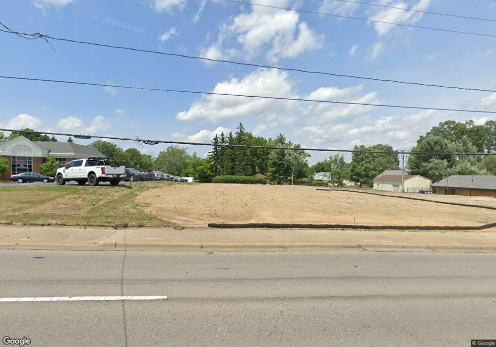
1131 W State St Alliance, OH 44601
Estimated Value: $757,316
2
Beds
2
Baths
4,450
Sq Ft
$170/Sq Ft
Est. Value
About This Home
This home is located at 1131 W State St, Alliance, OH 44601 and is currently priced at $757,316, approximately $170 per square foot. 1131 W State St is a home located in Stark County with nearby schools including Alliance Early Learning School, Alliance Intermediate School at Northside, and Alliance Middle School.
Ownership History
Date
Name
Owned For
Owner Type
Purchase Details
Closed on
Jun 18, 1997
Sold by
Schrader John P
Bought by
Sci Ohio Funeral Services Inc
Current Estimated Value
Purchase Details
Closed on
Jan 25, 1994
Purchase Details
Closed on
Oct 14, 1993
Create a Home Valuation Report for This Property
The Home Valuation Report is an in-depth analysis detailing your home's value as well as a comparison with similar homes in the area
Home Values in the Area
Average Home Value in this Area
Purchase History
| Date | Buyer | Sale Price | Title Company |
|---|---|---|---|
| Sci Ohio Funeral Services Inc | $360,000 | -- | |
| -- | $252,000 | -- | |
| -- | -- | -- |
Source: Public Records
Tax History Compared to Growth
Tax History
| Year | Tax Paid | Tax Assessment Tax Assessment Total Assessment is a certain percentage of the fair market value that is determined by local assessors to be the total taxable value of land and additions on the property. | Land | Improvement |
|---|---|---|---|---|
| 2025 | -- | $51,490 | $17,680 | $33,810 |
| 2024 | -- | $51,490 | $17,680 | $33,810 |
| 2023 | $6,007 | $113,340 | $31,610 | $81,730 |
| 2022 | $6,065 | $113,340 | $31,610 | $81,730 |
| 2021 | $6,037 | $113,340 | $31,610 | $81,730 |
| 2020 | $5,920 | $103,050 | $28,740 | $74,310 |
| 2019 | $5,775 | $103,070 | $28,740 | $74,330 |
| 2018 | $5,705 | $103,070 | $28,740 | $74,330 |
| 2017 | $5,209 | $91,100 | $9,700 | $81,400 |
| 2016 | $5,241 | $91,100 | $9,700 | $81,400 |
| 2015 | $5,279 | $91,100 | $9,700 | $81,400 |
| 2014 | $1,173 | $87,560 | $9,310 | $78,250 |
| 2013 | $2,566 | $87,560 | $9,310 | $78,250 |
Source: Public Records
Map
Nearby Homes
- 2112 Blenheim Ave
- 2050 Federal Ave
- 884 W College Rd
- 2220 Western Ave
- 1515 S Rockhill Ave
- 1201 Overlook Dr
- 1059 Oakwood Dr
- 1321 Parkway Blvd
- 1038 Fairview Place
- 970 Kingsway St
- 2839 S Rockhill Ave
- 738 Kingsway St
- 896 Parkway Blvd
- 3101 Ridgehill Ave
- 0 Winchester St
- 0 Winchester St Unit 5162877
- 734 Parkway Blvd
- 112 E College St
- 725 W Summit St
- 1475 Chatauqua Ct
- 1131 W State St
- 1133 W State St
- 1911 Fairview Place
- 1844 Lilly Ln
- 1900 Fairview Place
- 1186 W State St
- 1839 Fairview Place
- 1207 W State St
- 1207 W State St Unit B
- 1170 W State St
- 1085 W State St
- 1194 W State St
- 1826 Lilly Ln
- 1077 W State St
- 1821 Lilly Ln
- 1819 Fairview Place
- 1095 Hartshorn St
- 1069 W State St
- 1085 Hartshorn St
- 2052 Crestview Ave