11311 Buckskin Rd Elberfeld, IN 47613
Estimated Value: $281,000 - $620,760
3
Beds
2
Baths
2,389
Sq Ft
$184/Sq Ft
Est. Value
About This Home
This home is located at 11311 Buckskin Rd, Elberfeld, IN 47613 and is currently estimated at $440,253, approximately $184 per square foot. 11311 Buckskin Rd is a home located in Warrick County with nearby schools including Elberfeld Elementary School and Tecumseh High School.
Ownership History
Date
Name
Owned For
Owner Type
Purchase Details
Closed on
Oct 17, 2008
Sold by
Riddle Bryan G and Riddle Kristin L
Bought by
Riddle Bryan G and Riddle Kristin L
Current Estimated Value
Home Financials for this Owner
Home Financials are based on the most recent Mortgage that was taken out on this home.
Original Mortgage
$220,000
Outstanding Balance
$151,034
Interest Rate
6.41%
Mortgage Type
New Conventional
Estimated Equity
$289,219
Create a Home Valuation Report for This Property
The Home Valuation Report is an in-depth analysis detailing your home's value as well as a comparison with similar homes in the area
Home Values in the Area
Average Home Value in this Area
Purchase History
| Date | Buyer | Sale Price | Title Company |
|---|---|---|---|
| Riddle Bryan G | -- | None Available |
Source: Public Records
Mortgage History
| Date | Status | Borrower | Loan Amount |
|---|---|---|---|
| Open | Riddle Bryan G | $220,000 |
Source: Public Records
Tax History Compared to Growth
Tax History
| Year | Tax Paid | Tax Assessment Tax Assessment Total Assessment is a certain percentage of the fair market value that is determined by local assessors to be the total taxable value of land and additions on the property. | Land | Improvement |
|---|---|---|---|---|
| 2024 | $3,438 | $429,900 | $62,000 | $367,900 |
| 2023 | $3,412 | $420,000 | $42,200 | $377,800 |
| 2022 | $3,249 | $387,400 | $39,800 | $347,600 |
| 2021 | $3,083 | $316,800 | $41,200 | $275,600 |
| 2020 | $2,976 | $293,300 | $38,600 | $254,700 |
| 2019 | $2,985 | $291,000 | $33,700 | $257,300 |
| 2018 | $2,851 | $289,000 | $34,000 | $255,000 |
| 2017 | $2,778 | $283,400 | $35,400 | $248,000 |
| 2016 | $2,734 | $282,300 | $36,000 | $246,300 |
| 2014 | $2,827 | $299,800 | $36,600 | $263,200 |
| 2013 | $2,842 | $308,600 | $34,900 | $273,700 |
Source: Public Records
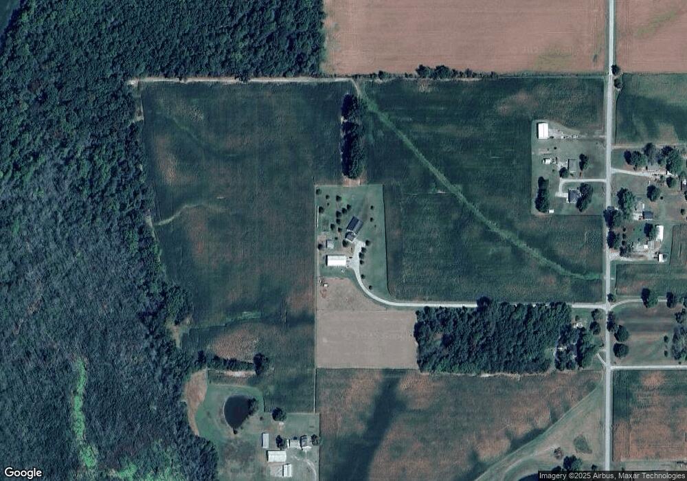
Map
Nearby Homes
- 1300 S County Rd
- 0 950 Rd S Unit 202437585
- 11499 Nobles Chapel Rd
- 110 Ohio St
- New Harmony Rd
- 355 W Walnut St
- 5180 E 1200 S
- 489 Indiana 68
- 0 E 600 S
- 19018 Indiana 57
- Turpin Hill Rd
- 10213 E Indiana St
- Hwy 57
- 3500 Doerner Rd
- 3626 Doerner Rd
- 3584 Doerner Rd
- 3542 Doerner Rd
- 0 Indiana 61
- 2352 E Warrenton Rd
- 7452 E 450 S
- 11255 Buckskin Rd
- 11411 Buckskin Rd
- 11388 Buckskin Rd
- 11466 Buckskin Rd
- 11177 Buckskin Rd
- 11288 Buckskin Rd
- 40 E Walnut St
- 295 S 4th St
- 235 N 5th St
- 355 E Walnut St
- 35 N 1st St
- 11066 Buckskin Rd
- 8988 W State Route 68
- 10259 S 850 E
- 9011 W State Route 68
- 8888 W State Route 68
- 8866 W State Route 68
- 10242 S 850 E
- 10167 S 850 E
- 8855 W State Route 68