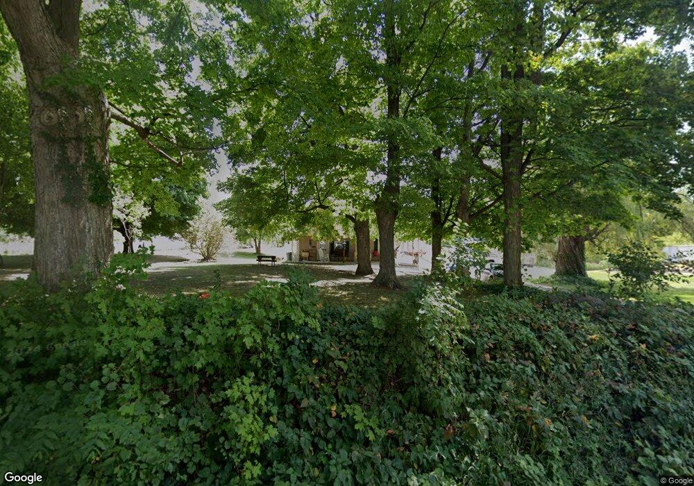
11311 N Adams Rd North Adams, MI 49262
Estimated Value: $140,000 - $341,000
--
Bed
1
Bath
1,038
Sq Ft
$206/Sq Ft
Est. Value
About This Home
This home is located at 11311 N Adams Rd, North Adams, MI 49262 and is currently estimated at $213,834, approximately $206 per square foot. 11311 N Adams Rd is a home located in Hillsdale County with nearby schools including North Adams-Jerome Elementary School and North Adams-Jerome Middle/High School.
Ownership History
Date
Name
Owned For
Owner Type
Purchase Details
Closed on
Jun 20, 2017
Sold by
Mcfarland Dale W
Bought by
Hardin Thomas M and Hardin Sherri L
Current Estimated Value
Purchase Details
Closed on
Jun 22, 2015
Sold by
Mcfarland Dorothy C and The William R Mcfarland & Doro
Bought by
Hardin Tom and Hardin Sherri
Purchase Details
Closed on
Feb 24, 2000
Sold by
Mcfarland William R and Mcfarland Dorothy C
Bought by
Hardin Tom and Hardin Sherri
Purchase Details
Closed on
Jun 30, 1995
Sold by
Mcfarland William and Mcfarland Dorothy
Bought by
Hardin Tom and Hardin Sherre
Create a Home Valuation Report for This Property
The Home Valuation Report is an in-depth analysis detailing your home's value as well as a comparison with similar homes in the area
Home Values in the Area
Average Home Value in this Area
Purchase History
| Date | Buyer | Sale Price | Title Company |
|---|---|---|---|
| Hardin Thomas M | $72,500 | None Available | |
| Hardin Tom | -- | Attorney | |
| Hardin Tom | $28,000 | -- | |
| Hardin Tom | $28,000 | -- |
Source: Public Records
Tax History Compared to Growth
Tax History
| Year | Tax Paid | Tax Assessment Tax Assessment Total Assessment is a certain percentage of the fair market value that is determined by local assessors to be the total taxable value of land and additions on the property. | Land | Improvement |
|---|---|---|---|---|
| 2025 | $714 | $78,700 | $0 | $0 |
| 2024 | $369 | $73,800 | $0 | $0 |
| 2023 | $351 | $69,900 | $0 | $0 |
| 2022 | $651 | $66,600 | $0 | $0 |
| 2021 | $632 | $56,000 | $0 | $0 |
| 2020 | $627 | $42,600 | $0 | $0 |
| 2019 | $634 | $40,000 | $0 | $0 |
| 2018 | $592 | $38,000 | $0 | $0 |
| 2017 | $584 | $37,000 | $0 | $0 |
| 2016 | $580 | $32,520 | $0 | $0 |
| 2015 | $294 | $32,520 | $0 | $0 |
| 2013 | $285 | $31,490 | $0 | $0 |
| 2012 | $283 | $25,860 | $0 | $0 |
Source: Public Records
Map
Nearby Homes
- 3635 Waldron Rd
- 10531 Wood Rd
- 13820 N Adams Rd
- 0 Combs Rd
- 13066 Calhoun Rd
- 10720 E Bacon Rd
- 13851 Church Rd
- 5875 U S 127
- 2951 N Meridian Rd
- 0 Moscow Rd
- 10720A E Bacon Rd
- 18600 Manitou Rd
- 236 S Steer St
- 9159 Moreland Rd
- 9240 Moreland Rd
- 18870 Quaker Rd
- 252 W Main St
- 135 S Steer St
- 206 N Steer St
- 1291 N Somerset Rd
- 11281 N Adams Rd
- 11160 N Adams Rd
- 11320 N Adams Rd
- 4791 Kelso Rd
- 4791 Kelso Rd
- 4891 N Kelso Rd
- 11451 N Adams Rd
- 11140 N Adams Rd
- 11480 N Adams Rd
- 4851 Kelso Rd
- 11400 N Adams Rd Unit 11480 N Adams
- 11400 N Adams Rd
- 4900 Kelso Rd
- 11493 N Adams Rd
- 10911 N Adams Rd
- 4785 Kelso Rd
- 4785 N Kelso Rd
- 4840 Kelso Rd
- 11480 N Adams Rd
- 11540 N Adams Rd