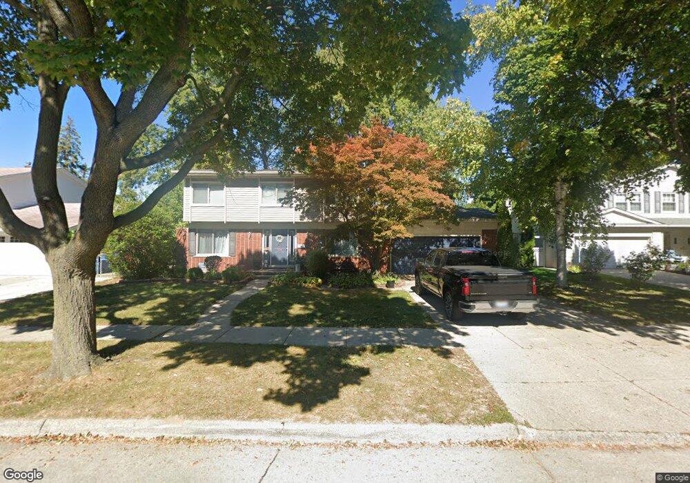
11311 Palm Dr Warren, MI 48093
Northeast Warren NeighborhoodEstimated Value: $308,566 - $351,000
4
Beds
3
Baths
2,014
Sq Ft
$166/Sq Ft
Est. Value
About This Home
This home is located at 11311 Palm Dr, Warren, MI 48093 and is currently estimated at $334,642, approximately $166 per square foot. 11311 Palm Dr is a home located in Macomb County with nearby schools including Cromie Elementary School, Carter Middle School, and Paul K. Cousino High School.
Ownership History
Date
Name
Owned For
Owner Type
Purchase Details
Closed on
Jul 15, 2011
Sold by
Fannie Mae
Bought by
Shatley Todd A and Shatley Kristie
Current Estimated Value
Purchase Details
Closed on
Aug 6, 2010
Sold by
Richardson Chad W and Leahey Anna L
Bought by
Federal National Mortgage Association
Purchase Details
Closed on
Mar 14, 2003
Sold by
Mitchell Karen
Bought by
Richardson Chad and Richardson Chad W
Create a Home Valuation Report for This Property
The Home Valuation Report is an in-depth analysis detailing your home's value as well as a comparison with similar homes in the area
Home Values in the Area
Average Home Value in this Area
Purchase History
| Date | Buyer | Sale Price | Title Company |
|---|---|---|---|
| Shatley Todd A | $78,000 | Etitle Agency Inc | |
| Federal National Mortgage Association | $195,349 | None Available | |
| Richardson Chad | $182,900 | Metropolitan Title Company |
Source: Public Records
Tax History
| Year | Tax Paid | Tax Assessment Tax Assessment Total Assessment is a certain percentage of the fair market value that is determined by local assessors to be the total taxable value of land and additions on the property. | Land | Improvement |
|---|---|---|---|---|
| 2025 | $3,914 | $154,380 | $0 | $0 |
| 2024 | $38 | $143,740 | $0 | $0 |
| 2023 | $3,631 | $136,090 | $0 | $0 |
| 2022 | $3,508 | $119,510 | $0 | $0 |
| 2021 | $3,569 | $110,190 | $0 | $0 |
| 2020 | $3,442 | $103,740 | $0 | $0 |
| 2019 | $3,318 | $88,100 | $0 | $0 |
| 2018 | $3,370 | $85,250 | $0 | $0 |
| 2017 | $3,328 | $78,230 | $11,800 | $66,430 |
| 2016 | $3,346 | $78,230 | $0 | $0 |
| 2015 | -- | $75,610 | $0 | $0 |
| 2012 | -- | $58,110 | $0 | $0 |
Source: Public Records
Map
Nearby Homes
- 30645 Lebanon Dr
- 31042 Wellston Dr
- 11191 Canterbury Dr
- 31245 Bretz Dr
- 31467 Wellston Dr
- 31275 Saratoga Ave
- 8704 Edna Dr
- 8323 Karam Blvd Unit 4
- 8315 Karam Blvd Unit 4
- 8497 Kennedy Cir Unit 7
- 29948 City Center Dr
- 29960 City Center Dr Unit 1
- 8232 Karam Blvd Unit 1
- 30240 Madison Ave
- 8688 Villa Ln
- 29756 City Center Dr Unit 1
- 8201 Kennedy #3 Unit 3
- 11116 Racine Rd
- 29451 Hoover Rd
- 30623 Washington Blvd
- 11297 Palm Dr
- 11325 Palm Dr
- 11283 Palm Dr
- 11339 Palm Dr
- 11312 Palm Dr
- 11324 E 13 Mile Rd
- 11298 Palm Dr
- 30680 Lebanon Dr
- 11284 Palm Dr
- 30666 Lebanon Dr
- 11350 E 13 Mile Rd
- 11300 E Thirteen Mile Rd
- 30652 Lebanon Dr
- 30646 Cedars Dr
- 11255 Palm Dr
- 30633 Lebanon Dr
- 30638 Lebanon Dr
- 30632 Cedars Dr
- 30681 Cedars Dr
- 30667 Cedars Dr
Your Personal Tour Guide
Ask me questions while you tour the home.