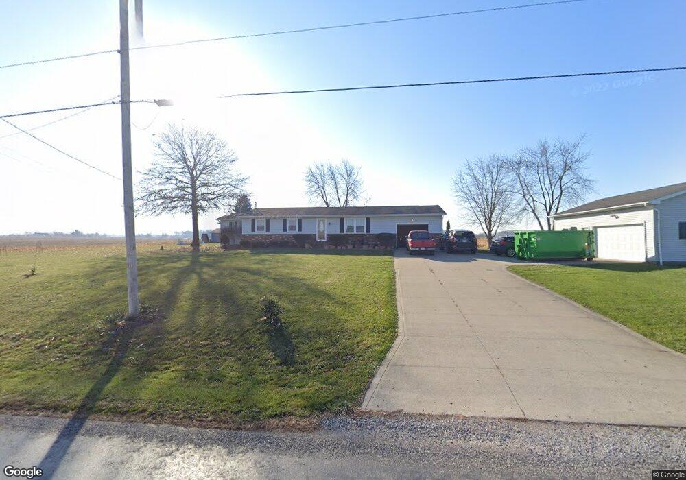
11315 Steiner Rd Rittman, OH 44270
Estimated Value: $268,000 - $311,000
3
Beds
2
Baths
1,384
Sq Ft
$204/Sq Ft
Est. Value
About This Home
This home is located at 11315 Steiner Rd, Rittman, OH 44270 and is currently estimated at $282,778, approximately $204 per square foot. 11315 Steiner Rd is a home located in Wayne County with nearby schools including Norwayne Elementary School, Norwayne Middle School, and Norwayne High School.
Ownership History
Date
Name
Owned For
Owner Type
Purchase Details
Closed on
Apr 28, 2025
Sold by
Pamer Family Revocable Trust and Pamer Jenelle F
Bought by
Hammer Pansy Llc
Current Estimated Value
Purchase Details
Closed on
Apr 25, 2025
Sold by
Kyler Hanzie Revocable Trust and Hanzie Kyler
Bought by
Hammer Pansy Llc
Purchase Details
Closed on
Oct 3, 2024
Sold by
Hanzie Kyler
Bought by
Kyler Hanzie Revocable Trust and Hanzie
Purchase Details
Closed on
May 2, 2024
Sold by
Pamer Jenelle F and Pamer James W
Bought by
Pamer Family Revocable Trust and Pamer
Purchase Details
Closed on
Jan 1, 1987
Bought by
Hanzie Kevin L and Hanzie Jeannett
Create a Home Valuation Report for This Property
The Home Valuation Report is an in-depth analysis detailing your home's value as well as a comparison with similar homes in the area
Home Values in the Area
Average Home Value in this Area
Purchase History
| Date | Buyer | Sale Price | Title Company |
|---|---|---|---|
| Hammer Pansy Llc | -- | None Listed On Document | |
| Hammer Pansy Llc | -- | None Listed On Document | |
| Kyler Hanzie Revocable Trust | -- | None Listed On Document | |
| Kyler Hanzie Revocable Trust | -- | None Listed On Document | |
| Pamer Family Revocable Trust | -- | None Listed On Document | |
| Hanzie Kevin L | -- | -- |
Source: Public Records
Tax History Compared to Growth
Tax History
| Year | Tax Paid | Tax Assessment Tax Assessment Total Assessment is a certain percentage of the fair market value that is determined by local assessors to be the total taxable value of land and additions on the property. | Land | Improvement |
|---|---|---|---|---|
| 2024 | $3,136 | $80,720 | $20,860 | $59,860 |
| 2023 | $3,136 | $80,790 | $20,860 | $59,930 |
| 2022 | $2,415 | $60,750 | $15,690 | $45,060 |
| 2021 | $2,443 | $60,750 | $15,690 | $45,060 |
| 2020 | $2,459 | $60,750 | $15,690 | $45,060 |
| 2019 | $2,160 | $51,540 | $14,350 | $37,190 |
| 2018 | $2,189 | $51,540 | $14,350 | $37,190 |
| 2017 | $2,173 | $51,540 | $14,350 | $37,190 |
| 2016 | $2,067 | $49,090 | $13,670 | $35,420 |
| 2015 | $2,042 | $49,090 | $13,670 | $35,420 |
| 2014 | $1,999 | $49,090 | $13,670 | $35,420 |
| 2013 | $2,032 | $48,490 | $13,210 | $35,280 |
Source: Public Records
Map
Nearby Homes
- 11255 Steiner Rd
- 11205 Steiner Rd
- 11431 Steiner Rd
- 11414 Steiner Rd
- 11189 Steiner Rd
- 11469 Steiner Rd
- 11144 Steiner Rd
- 11151 Steiner Rd
- 11125 Steiner Rd
- 11509 Steiner Rd
- 11116 Steiner Rd
- 11566 Steiner Rd
- 11154 Steiner Rd
- 11594 Steiner Rd
- 10977 Steiner Rd
- 11634 Steiner Rd
- 11656 Steiner Rd
- 11684 Steiner Rd
- 11748 Steiner Rd
- 10721 Benner Rd