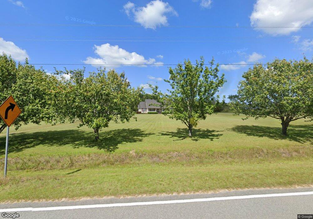
11316 Zoar Rd Hazlehurst, GA 31539
Estimated Value: $176,000 - $335,000
--
Bed
2
Baths
2,102
Sq Ft
$119/Sq Ft
Est. Value
About This Home
This home is located at 11316 Zoar Rd, Hazlehurst, GA 31539 and is currently estimated at $249,585, approximately $118 per square foot. 11316 Zoar Rd is a home located in Appling County.
Ownership History
Date
Name
Owned For
Owner Type
Purchase Details
Closed on
May 30, 2008
Sold by
Harrison Colby W
Bought by
Everett William S
Current Estimated Value
Home Financials for this Owner
Home Financials are based on the most recent Mortgage that was taken out on this home.
Original Mortgage
$157,590
Outstanding Balance
$100,970
Interest Rate
6.02%
Mortgage Type
New Conventional
Estimated Equity
$148,615
Purchase Details
Closed on
Nov 27, 2007
Sold by
Sec Of Housing & U
Bought by
Harrison Colby W
Purchase Details
Closed on
Feb 6, 2007
Sold by
Citimortgage Inc
Bought by
Sec Dept Of Housing
Purchase Details
Closed on
Dec 30, 2002
Bought by
Johnson Toby and Johnson Amy V
Purchase Details
Closed on
Apr 22, 2002
Bought by
Johnson Toby and Johnson Amy V
Purchase Details
Closed on
Oct 17, 1996
Bought by
Johnson Toby and Johnson Amy V
Create a Home Valuation Report for This Property
The Home Valuation Report is an in-depth analysis detailing your home's value as well as a comparison with similar homes in the area
Home Values in the Area
Average Home Value in this Area
Purchase History
| Date | Buyer | Sale Price | Title Company |
|---|---|---|---|
| Everett William S | $154,500 | -- | |
| Harrison Colby W | $88,210 | -- | |
| Sec Dept Of Housing | $166,452 | -- | |
| Citimortgage Inc | $166,452 | -- | |
| Johnson Toby | -- | -- | |
| Johnson Toby | -- | -- | |
| Johnson Toby | $11,600 | -- |
Source: Public Records
Mortgage History
| Date | Status | Borrower | Loan Amount |
|---|---|---|---|
| Open | Everett William S | $157,590 |
Source: Public Records
Tax History Compared to Growth
Tax History
| Year | Tax Paid | Tax Assessment Tax Assessment Total Assessment is a certain percentage of the fair market value that is determined by local assessors to be the total taxable value of land and additions on the property. | Land | Improvement |
|---|---|---|---|---|
| 2024 | $1,930 | $84,598 | $1,880 | $82,718 |
| 2023 | $1,930 | $84,288 | $1,888 | $82,400 |
| 2022 | $1,498 | $64,073 | $1,888 | $62,185 |
| 2021 | $1,498 | $64,073 | $1,888 | $62,185 |
| 2020 | $1,296 | $54,284 | $1,888 | $52,396 |
| 2019 | $1,324 | $54,284 | $1,888 | $52,396 |
| 2018 | $1,350 | $54,284 | $1,888 | $52,396 |
| 2017 | $1,349 | $54,284 | $1,888 | $52,396 |
| 2016 | $1,349 | $54,284 | $1,888 | $52,396 |
| 2015 | $1,336 | $53,727 | $1,888 | $51,840 |
| 2014 | $1,332 | $53,466 | $1,626 | $51,840 |
| 2013 | -- | $53,465 | $1,625 | $51,840 |
Source: Public Records
Map
Nearby Homes
- 00 Herrington Rd
- 0 Herrington Rd
- 469 Dyal Rd
- 60 Fred Hutchinson Rd
- 0 T M Mims Rd
- 908 Bethel Freewill Rd
- T M Mims Rd
- 00 Henry Mims Rd
- 4038 Lake Mayers Rd
- 0 Lake Mayers Rd Unit 23695
- 0 Lake Mayers Rd Unit 10628654
- 2612 Buck Head Rd
- 0 Henry-Mimbs Rd Unit 10544748
- 43 Graham Methodist Church Rd
- 0 Elizabeth Church Rd Unit 10583146
- 5686 Golden Isle W
- -- Hammond Powell Rd
- 00 Elizabeth Church Rd
- 0 Wragler Ln Unit 10542405
- 0 Rhonda Coleman Rd