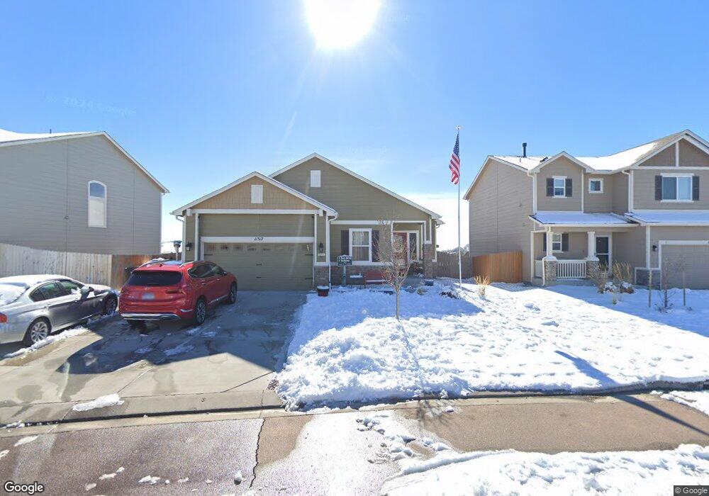
11317 Avena Rd Peyton, CO 80831
Falcon NeighborhoodEstimated Value: $457,000 - $526,000
6
Beds
3
Baths
1,602
Sq Ft
$300/Sq Ft
Est. Value
About This Home
This home is located at 11317 Avena Rd, Peyton, CO 80831 and is currently estimated at $479,942, approximately $299 per square foot. 11317 Avena Rd is a home with nearby schools including Bennett Ranch Elementary School, Falcon Middle School, and Falcon High School.
Ownership History
Date
Name
Owned For
Owner Type
Purchase Details
Closed on
Dec 7, 2019
Sold by
Niehaus David J and Niehaus Judy K
Bought by
Niehaus David and Niehaus Judy
Current Estimated Value
Home Financials for this Owner
Home Financials are based on the most recent Mortgage that was taken out on this home.
Original Mortgage
$389,500
Outstanding Balance
$344,071
Interest Rate
3.7%
Mortgage Type
VA
Estimated Equity
$135,871
Purchase Details
Closed on
Jun 28, 2018
Sold by
Niehaus David J and Niehaus Judy K
Bought by
Hiehaus David J and Hiehaus Judy K
Purchase Details
Closed on
Jun 23, 2017
Sold by
Challenger Colorado Llc
Bought by
Niehaus David J and Niehaus Judy K
Home Financials for this Owner
Home Financials are based on the most recent Mortgage that was taken out on this home.
Original Mortgage
$351,000
Interest Rate
4.05%
Mortgage Type
VA
Create a Home Valuation Report for This Property
The Home Valuation Report is an in-depth analysis detailing your home's value as well as a comparison with similar homes in the area
Home Values in the Area
Average Home Value in this Area
Purchase History
| Date | Buyer | Sale Price | Title Company |
|---|---|---|---|
| Niehaus David | -- | None Available | |
| Hiehaus David J | -- | None Available | |
| Niehaus David J | $351,000 | None Available |
Source: Public Records
Mortgage History
| Date | Status | Borrower | Loan Amount |
|---|---|---|---|
| Open | Niehaus David | $389,500 | |
| Previous Owner | Niehaus David J | $351,000 |
Source: Public Records
Tax History
| Year | Tax Paid | Tax Assessment Tax Assessment Total Assessment is a certain percentage of the fair market value that is determined by local assessors to be the total taxable value of land and additions on the property. | Land | Improvement |
|---|---|---|---|---|
| 2025 | $3,385 | $34,840 | -- | -- |
| 2024 | $3,276 | $35,760 | $5,400 | $30,360 |
| 2022 | $2,991 | $27,680 | $3,840 | $23,840 |
| 2021 | $3,212 | $28,470 | $3,950 | $24,520 |
| 2020 | $3,187 | $26,380 | $3,580 | $22,800 |
| 2019 | $3,105 | $26,380 | $3,580 | $22,800 |
| 2018 | $2,909 | $24,480 | $4,920 | $19,560 |
| 2017 | $1,084 | $24,480 | $4,920 | $19,560 |
| 2016 | $453 | $4,050 | $4,050 | $0 |
Source: Public Records
Map
Nearby Homes
- 11329 Avena Rd
- 11430 Owl Place
- 8151 Berwyn Loop
- 11076 Bossett Dr
- 11605 Avena Rd
- 11109 Willmore Dr
- 11485 Owl Place
- 11751 Sedge Ct
- 11763 Sedge Ct
- 8295 Thedford Ct
- 11449 Moonrock Heights
- 8108 Kittrick Place
- 8275 Henzlee Place
- 8283 Henzlee Place
- 8250 Henzlee Place
- 8266 Henzlee Place
- 0 Bent Grass Meadows Dr Unit 6274583
- 0 Bent Grass Meadows Dr Unit REC4789086
- 10981 Jolie Ct
- 10958 Jolie Ct
Your Personal Tour Guide
Ask me questions while you tour the home.