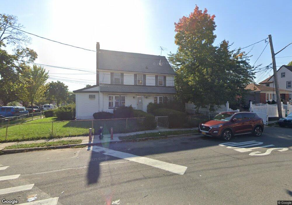
11318 Hannibal St Saint Albans, NY 11412
Hollis NeighborhoodEstimated Value: $783,000 - $916,000
--
Bed
--
Bath
2,342
Sq Ft
$366/Sq Ft
Est. Value
About This Home
This home is located at 11318 Hannibal St, Saint Albans, NY 11412 and is currently estimated at $858,010, approximately $366 per square foot. 11318 Hannibal St is a home located in Queens County with nearby schools including P.S. 118 Lorraine Hansberry, I.S. 192 The Linden, and Riverton Street Charter School.
Create a Home Valuation Report for This Property
The Home Valuation Report is an in-depth analysis detailing your home's value as well as a comparison with similar homes in the area
Home Values in the Area
Average Home Value in this Area
Tax History Compared to Growth
Tax History
| Year | Tax Paid | Tax Assessment Tax Assessment Total Assessment is a certain percentage of the fair market value that is determined by local assessors to be the total taxable value of land and additions on the property. | Land | Improvement |
|---|---|---|---|---|
| 2025 | $6,966 | $36,547 | $11,421 | $25,126 |
| 2024 | $6,978 | $36,083 | $13,518 | $22,565 |
| 2023 | $6,629 | $34,042 | $11,318 | $22,724 |
| 2022 | $6,164 | $43,920 | $15,600 | $28,320 |
| 2021 | $6,497 | $36,420 | $15,600 | $20,820 |
| 2020 | $6,151 | $38,880 | $15,600 | $23,280 |
| 2019 | $5,997 | $38,880 | $15,600 | $23,280 |
| 2018 | $5,485 | $28,368 | $13,735 | $14,633 |
| 2017 | $5,190 | $26,928 | $13,621 | $13,307 |
| 2016 | $5,068 | $26,928 | $13,621 | $13,307 |
| 2015 | $2,844 | $25,380 | $16,263 | $9,117 |
| 2014 | $2,844 | $25,058 | $15,310 | $9,748 |
Source: Public Records
Map
Nearby Homes
- 18914 114th Rd
- 191-16 114th Rd
- 191-40 112th Rd
- 191-34 114th Rd
- 189-18 114th Dr
- 114-13 203rd st 203rd St
- 191-47 114th Dr
- 18833 Keeseville Ave
- 19427 Murdock Ave
- 19432 113th Rd
- 19022 111th Rd
- 190-59 112th Ave
- 19431 114th Rd
- 190-63 112th Ave
- 194-16 112th Ave
- 194-42 Murdock Ave
- 19445 Murdock Ave
- 188-25 Mangin Ave
- 188-45 Quencer Rd
- 18823 Mangin Ave
- 11312 Hannibal St
- 18939 113th Rd
- 113-10 Hannibal St Unit 2A
- 113-08 Hannibal St
- 11308 Hannibal St
- 18940 113th Rd Unit 3
- 11334 Farmers Blvd
- 18935 113th Rd
- 18922 Farmers Blvd
- 11314 Farmers Blvd
- 11302 Hannibal St
- 18938 113th Rd
- 189-38 113th Rd
- 113-10 Farmers Blvd
- 18938 113th Ave
- 18936 113th Rd
- 18931 113th Rd
- 18938 113th Ave
- 18934 113th Rd
- 11310 Farmers Blvd