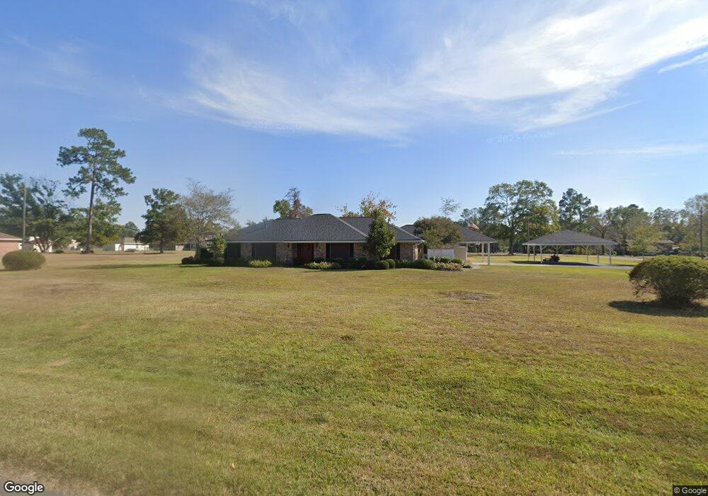
1132 Godair Dr Deridder, LA 70634
Estimated Value: $261,319 - $355,000
4
Beds
3
Baths
2,700
Sq Ft
$113/Sq Ft
Est. Value
About This Home
This home is located at 1132 Godair Dr, Deridder, LA 70634 and is currently estimated at $304,580, approximately $112 per square foot. 1132 Godair Dr is a home located in Beauregard Parish with nearby schools including K.R. Hanchey Elementary School, Pine Wood Elementary School, and Carver Elementary School.
Ownership History
Date
Name
Owned For
Owner Type
Purchase Details
Closed on
Sep 19, 2025
Sold by
Brown Charles Randall and Brown Tammy Ann
Bought by
Herrington Timothy Michael and Herrington Alexandria Caroline
Current Estimated Value
Home Financials for this Owner
Home Financials are based on the most recent Mortgage that was taken out on this home.
Original Mortgage
$155,000
Outstanding Balance
$155,000
Interest Rate
6.63%
Mortgage Type
New Conventional
Estimated Equity
$149,580
Create a Home Valuation Report for This Property
The Home Valuation Report is an in-depth analysis detailing your home's value as well as a comparison with similar homes in the area
Home Values in the Area
Average Home Value in this Area
Purchase History
| Date | Buyer | Sale Price | Title Company |
|---|---|---|---|
| Herrington Timothy Michael | $325,000 | None Listed On Document |
Source: Public Records
Mortgage History
| Date | Status | Borrower | Loan Amount |
|---|---|---|---|
| Open | Herrington Timothy Michael | $155,000 |
Source: Public Records
Tax History Compared to Growth
Tax History
| Year | Tax Paid | Tax Assessment Tax Assessment Total Assessment is a certain percentage of the fair market value that is determined by local assessors to be the total taxable value of land and additions on the property. | Land | Improvement |
|---|---|---|---|---|
| 2024 | $1,925 | $18,750 | $1,200 | $17,550 |
| 2023 | $1,828 | $17,400 | $1,400 | $16,000 |
| 2022 | $1,827 | $17,400 | $1,400 | $16,000 |
| 2021 | $1,827 | $17,400 | $1,400 | $16,000 |
| 2020 | $1,826 | $17,400 | $1,400 | $16,000 |
| 2019 | $1,773 | $16,860 | $1,400 | $15,460 |
| 2018 | $1,773 | $16,860 | $1,400 | $15,460 |
| 2017 | $1,773 | $16,860 | $1,400 | $15,460 |
| 2016 | $1,773 | $16,860 | $1,400 | $15,460 |
| 2015 | $767 | $14,300 | $1,400 | $12,900 |
| 2014 | $767 | $14,300 | $1,400 | $12,900 |
Source: Public Records
Map
Nearby Homes
- 1615 Ernest Dr
- 0 Glendale Rd
- 1938 Glendale Rd
- 1598 Glendale Rd
- 629 Auburn Dr
- 1526 Peggy Ln
- 710 N Frusha Dr
- 1207 Seminole St
- 0 N Texas St
- 0 Planer Mill Rd
- 0 Tbd N Texas St
- 809 N Texas St
- 0 N Frusha Dr
- 905 Cherokee St
- 1125 Willow St
- 721 N Texas St
- 1012 Mc Arthur St
- 113 Barbara St
- 2389 Glendale Rd
- 0 Bilbo Street (Tract 1)
- 1120 Godair Dr
- 1715 Amalynn Dr
- 1210 Godair Dr
- 1133 Godair Dr
- 1664 Chriscott Dr
- 1121 Godair Dr
- 1211 Godair Dr
- 1211 Maybelle Dr
- 1689 Chriscott Dr
- 1234 Godair Dr
- 1631 Amalynn Dr
- 1661 Chriscott Dr
- 1636 Chriscott Dr
- 1811 Chriscott Dr
- 1235 Godair Dr
- 1632 Amalynn Dr
- 1786 Glendale Rd
- 1250 Godair Dr
- 1762 Glendale Rd
- 1635 Chriscott Dr