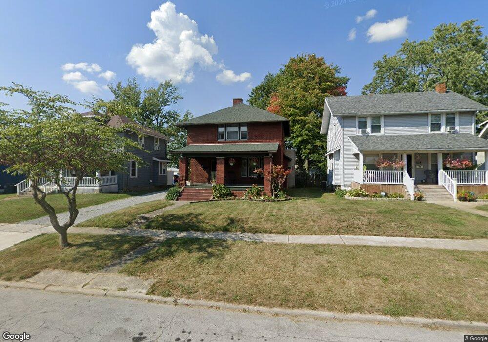
1132 Hazel Ave Lima, OH 45805
Central Lima NeighborhoodEstimated Value: $93,000 - $136,000
3
Beds
1
Bath
1,942
Sq Ft
$58/Sq Ft
Est. Value
About This Home
This home is located at 1132 Hazel Ave, Lima, OH 45805 and is currently estimated at $112,873, approximately $58 per square foot. 1132 Hazel Ave is a home located in Allen County with nearby schools including Heritage Elementary School, Lima North Middle School, and Lima West Middle School.
Ownership History
Date
Name
Owned For
Owner Type
Purchase Details
Closed on
Oct 25, 2013
Sold by
Herrel Scott A and Herrel Penny L
Bought by
Herrel Scott A and Herrel Penny L
Current Estimated Value
Purchase Details
Closed on
Apr 1, 1992
Bought by
Herrel Scott A and Herrel Penny L
Create a Home Valuation Report for This Property
The Home Valuation Report is an in-depth analysis detailing your home's value as well as a comparison with similar homes in the area
Home Values in the Area
Average Home Value in this Area
Purchase History
| Date | Buyer | Sale Price | Title Company |
|---|---|---|---|
| Herrel Scott A | -- | None Available | |
| Herrel Scott A | $43,500 | -- |
Source: Public Records
Tax History
| Year | Tax Paid | Tax Assessment Tax Assessment Total Assessment is a certain percentage of the fair market value that is determined by local assessors to be the total taxable value of land and additions on the property. | Land | Improvement |
|---|---|---|---|---|
| 2024 | $1,051 | $28,600 | $2,560 | $26,040 |
| 2023 | $1,059 | $25,100 | $2,240 | $22,860 |
| 2022 | $1,064 | $25,100 | $2,240 | $22,860 |
| 2021 | $1,126 | $25,100 | $2,240 | $22,860 |
| 2020 | $1,080 | $21,320 | $2,170 | $19,150 |
| 2019 | $1,080 | $21,320 | $2,170 | $19,150 |
| 2018 | $1,072 | $21,320 | $2,170 | $19,150 |
| 2017 | $1,084 | $21,320 | $2,170 | $19,150 |
| 2016 | $1,093 | $21,320 | $2,170 | $19,150 |
| 2015 | $1,180 | $21,320 | $2,170 | $19,150 |
| 2014 | $1,180 | $22,860 | $2,280 | $20,580 |
| 2013 | $1,148 | $22,860 | $2,280 | $20,580 |
Source: Public Records
Map
Nearby Homes
- 0 Latham
- 1015 N Cole St
- 1209 Rice Ave
- 1245 Latham Ave
- 949 Leland Ave
- 1160 Richie Ave
- 956 Rice Ave
- 1407 Latham Ave
- 974 Richie Ave
- 513 N Charles St
- 503 N Charles St
- 1027 Brice Ave
- 1023 Brice Ave
- 618 Woodward Ave
- 703 N Collett St
- 615 N Collett St
- 638 Hazel Ave
- 631 Hazel Ave
- 508 N Collett St
- 841 N Baxter St
Your Personal Tour Guide
Ask me questions while you tour the home.