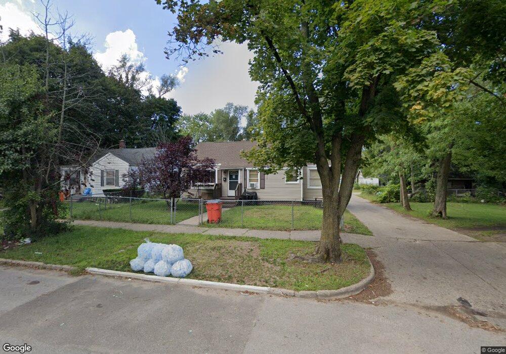
1132 Monroe St Benton Harbor, MI 49022
Estimated Value: $81,000 - $106,848
2
Beds
1
Bath
699
Sq Ft
$132/Sq Ft
Est. Value
About This Home
This home is located at 1132 Monroe St, Benton Harbor, MI 49022 and is currently estimated at $91,962, approximately $131 per square foot. 1132 Monroe St is a home located in Berrien County with nearby schools including Fair Plain Middle School, Benton Harbor High School, and Benton Harbor Charter School Academy.
Ownership History
Date
Name
Owned For
Owner Type
Purchase Details
Closed on
Oct 30, 2006
Sold by
Aspen Capital Funding Llc
Bought by
Casnave Natisha
Current Estimated Value
Purchase Details
Closed on
Sep 30, 2005
Sold by
Diamond Star Properties Llc
Bought by
Aspen Capital Funding Llc
Purchase Details
Closed on
Mar 13, 2003
Sold by
Casnave Margaret Ann
Bought by
Wells Fargo Bank Minnesota Na
Purchase Details
Closed on
Sep 20, 1999
Purchase Details
Closed on
Jun 26, 1998
Purchase Details
Closed on
Jun 24, 1991
Purchase Details
Closed on
Oct 22, 1982
Purchase Details
Closed on
Jun 22, 1982
Purchase Details
Closed on
Jan 5, 1979
Create a Home Valuation Report for This Property
The Home Valuation Report is an in-depth analysis detailing your home's value as well as a comparison with similar homes in the area
Home Values in the Area
Average Home Value in this Area
Purchase History
| Date | Buyer | Sale Price | Title Company |
|---|---|---|---|
| Casnave Natisha | $23,000 | None Available | |
| Aspen Capital Funding Llc | -- | -- | |
| Wells Fargo Bank Minnesota Na | $18,056 | -- | |
| -- | -- | -- | |
| -- | -- | -- | |
| -- | $6,500 | -- | |
| -- | $4,500 | -- | |
| -- | -- | -- | |
| -- | $14,100 | -- |
Source: Public Records
Tax History Compared to Growth
Tax History
| Year | Tax Paid | Tax Assessment Tax Assessment Total Assessment is a certain percentage of the fair market value that is determined by local assessors to be the total taxable value of land and additions on the property. | Land | Improvement |
|---|---|---|---|---|
| 2025 | $1,110 | $39,000 | $0 | $0 |
| 2024 | $1,068 | $34,500 | $0 | $0 |
| 2023 | $854 | $24,800 | $0 | $0 |
| 2022 | $969 | $18,500 | $0 | $0 |
| 2021 | $976 | $18,200 | $700 | $17,500 |
| 2020 | $964 | $17,500 | $0 | $0 |
| 2019 | $1,301 | $15,500 | $0 | $0 |
| 2018 | $1,033 | $14,700 | $0 | $0 |
| 2017 | $829 | $16,400 | $0 | $0 |
| 2016 | $1,065 | $16,600 | $0 | $0 |
| 2015 | $999 | $16,000 | $0 | $0 |
| 2014 | $752 | $19,400 | $0 | $0 |
Source: Public Records
Map
Nearby Homes
- 1129 Jennings Ave
- 1219 Ogden Ave
- 1142 Bishop Ave
- 960 Union Ave
- 361 E May St
- 960 Jennings Ave
- 1097 Pearl St
- 1301 Superior St
- 972 Pearl St
- 1332 Columbus Ave
- 1267 Broadway
- 349 E Empire Ave
- 1337 Agard Ave
- 833 Pearl St
- 1380 Milton St
- 979 Lavette Ave
- 730 Superior St
- 180 Emery Ave
- 1045 Broadway
- 872 Mcalister Ave