1132 N Comstock Rd Sutherlin, OR 97479
Estimated Value: $296,000 - $422,000
3
Beds
2
Baths
1,782
Sq Ft
$203/Sq Ft
Est. Value
About This Home
This home is located at 1132 N Comstock Rd, Sutherlin, OR 97479 and is currently estimated at $361,511, approximately $202 per square foot. 1132 N Comstock Rd is a home located in Douglas County with nearby schools including Oakland Elementary School, Lincoln Middle School, and Oakland High School.
Ownership History
Date
Name
Owned For
Owner Type
Purchase Details
Closed on
Nov 21, 2012
Sold by
Orr Jeffrey
Bought by
Orr Catlin and Stidham Amber
Current Estimated Value
Purchase Details
Closed on
Apr 15, 2010
Sold by
Martineau Anthony
Bought by
Wells Fargo Bank N A
Purchase Details
Closed on
Jun 23, 2004
Sold by
Martineau Anthony W and Martineau Deana M
Bought by
Martineau Anthony
Home Financials for this Owner
Home Financials are based on the most recent Mortgage that was taken out on this home.
Original Mortgage
$133,600
Interest Rate
7.42%
Mortgage Type
Unknown
Create a Home Valuation Report for This Property
The Home Valuation Report is an in-depth analysis detailing your home's value as well as a comparison with similar homes in the area
Home Values in the Area
Average Home Value in this Area
Purchase History
| Date | Buyer | Sale Price | Title Company |
|---|---|---|---|
| Orr Catlin | $68,775 | None Available | |
| Wells Fargo Bank N A | $147,600 | Ticor Title | |
| Martineau Anthony | -- | Amerititle Inc |
Source: Public Records
Mortgage History
| Date | Status | Borrower | Loan Amount |
|---|---|---|---|
| Previous Owner | Martineau Anthony | $133,600 |
Source: Public Records
Tax History Compared to Growth
Tax History
| Year | Tax Paid | Tax Assessment Tax Assessment Total Assessment is a certain percentage of the fair market value that is determined by local assessors to be the total taxable value of land and additions on the property. | Land | Improvement |
|---|---|---|---|---|
| 2024 | $1,125 | $169,755 | -- | -- |
| 2023 | $1,094 | $164,811 | $0 | $0 |
| 2022 | $1,064 | $160,011 | $0 | $0 |
| 2021 | $1,035 | $155,351 | $0 | $0 |
| 2020 | $1,007 | $150,827 | $0 | $0 |
| 2019 | $980 | $146,434 | $0 | $0 |
| 2018 | $953 | $142,169 | $0 | $0 |
| 2017 | $1,017 | $138,029 | $0 | $0 |
| 2016 | $982 | $134,009 | $0 | $0 |
| 2015 | $937 | $127,523 | $0 | $0 |
| 2014 | $958 | $130,757 | $0 | $0 |
| 2013 | -- | $129,838 | $0 | $0 |
Source: Public Records
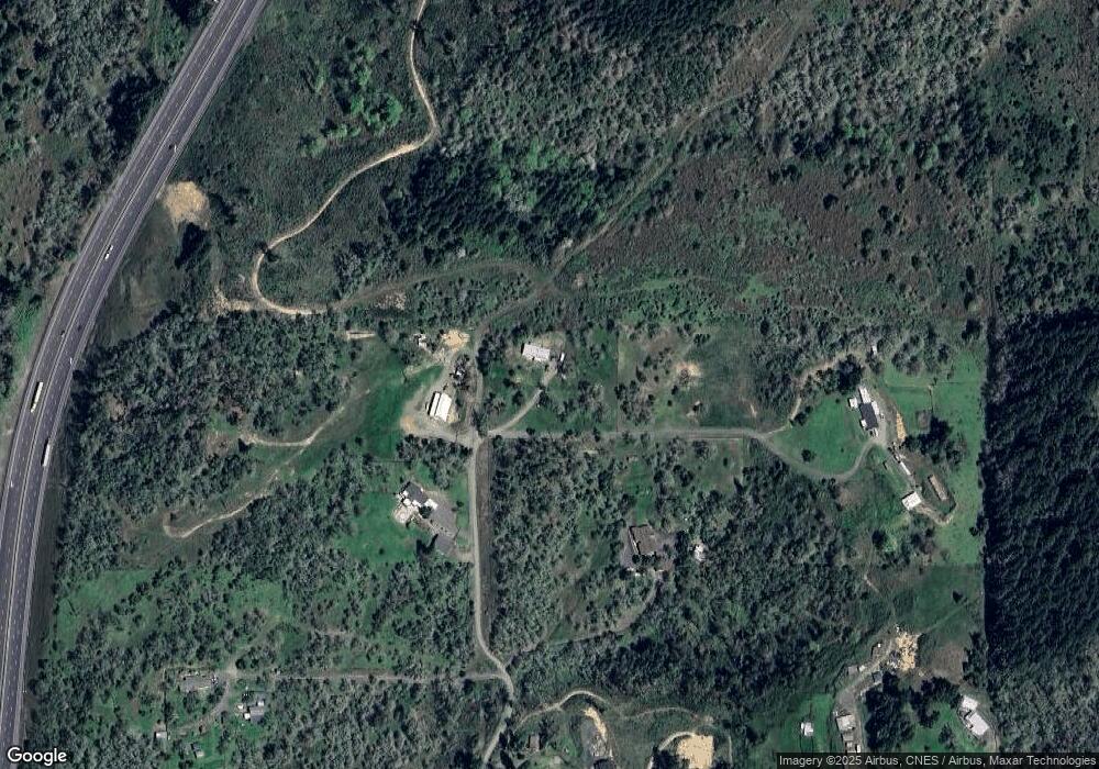
Map
Nearby Homes
- 1660 Scardi Blvd
- 1716 Scardi Blvd Unit 174
- 890 Durham Ave
- 881 Medina Ave
- 530 Tanglewood St
- 832 Sand Pines Ave
- 702 Divot Loop
- 249 Union Gap Loop Rd
- 279 Grant St
- 420 Backwater Loop
- 276 Union Gap Loop Rd
- 0 N Fourth St Unit 24557651
- 2076 Sawgrass Ct
- 839 Union Gap Loop Rd
- 165 Robinson St
- 226 Miller St
- 220 Miller St
- 910 Swallow Ave
- 181 SW Hutchins St
- 1688 W Central Ave
- 1141 N Comstock Rd
- 1129 N Comstock Ave
- 1130 N Comstock Ave
- 1102 N Comstock Rd
- 1100 N Comstock Rd
- 1040 Summit View
- 0 Summit View Ave
- 1040 Summit View Ave
- 0 Rogers Ct
- 982 N Comstock Ave
- 950 N Comstock Ave
- 963 N Comstock Ave
- 1320 Rogers Ct
- 810 N Comstock Ave
- 1110 Foster Ave
- 1100 Foster Ave
- 2617 Stearns Ln
- 1125 Foster Ave
- 1115 Foster Ave
- 1020 Foster Ave