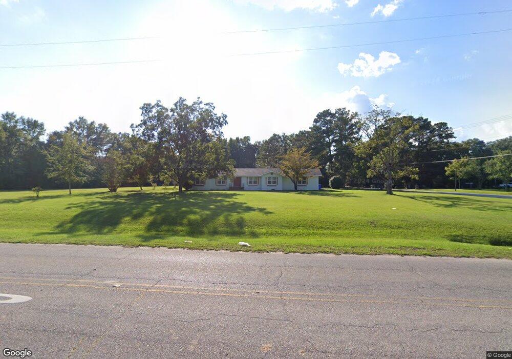
1132 S Beverlye Rd Dothan, AL 36301
Estimated Value: $235,877 - $430,000
4
Beds
3
Baths
2,247
Sq Ft
$134/Sq Ft
Est. Value
About This Home
This home is located at 1132 S Beverlye Rd, Dothan, AL 36301 and is currently estimated at $301,969, approximately $134 per square foot. 1132 S Beverlye Rd is a home located in Houston County with nearby schools including Dothan City Early Education Center, Beverlye Intermediate School, and Hidden Lake Elementary School.
Ownership History
Date
Name
Owned For
Owner Type
Purchase Details
Closed on
Mar 17, 2017
Sold by
Hayes Joseph Edward and Hayes Danny M
Bought by
Hernandez Josue
Current Estimated Value
Home Financials for this Owner
Home Financials are based on the most recent Mortgage that was taken out on this home.
Original Mortgage
$153,934
Outstanding Balance
$127,324
Interest Rate
4.25%
Mortgage Type
FHA
Estimated Equity
$174,645
Purchase Details
Closed on
Feb 6, 2017
Sold by
Hayes Joseph Edward
Bought by
Hayes Joseph Edward and Hayes Danny M
Home Financials for this Owner
Home Financials are based on the most recent Mortgage that was taken out on this home.
Original Mortgage
$153,934
Outstanding Balance
$127,324
Interest Rate
4.25%
Mortgage Type
FHA
Estimated Equity
$174,645
Create a Home Valuation Report for This Property
The Home Valuation Report is an in-depth analysis detailing your home's value as well as a comparison with similar homes in the area
Purchase History
| Date | Buyer | Sale Price | Title Company |
|---|---|---|---|
| Hernandez Josue | $156,775 | -- | |
| Hayes Joseph Edward | -- | -- |
Source: Public Records
Mortgage History
| Date | Status | Borrower | Loan Amount |
|---|---|---|---|
| Open | Hernandez Josue | $153,934 |
Source: Public Records
Tax History
| Year | Tax Paid | Tax Assessment Tax Assessment Total Assessment is a certain percentage of the fair market value that is determined by local assessors to be the total taxable value of land and additions on the property. | Land | Improvement |
|---|---|---|---|---|
| 2025 | $734 | $21,920 | $0 | $0 |
| 2024 | $734 | $20,940 | $0 | $0 |
| 2023 | $699 | $19,560 | $0 | $0 |
| 2022 | $566 | $17,920 | $0 | $0 |
| 2021 | $495 | $17,020 | $0 | $0 |
| 2020 | $481 | $15,440 | $0 | $0 |
| 2019 | $461 | $14,860 | $0 | $0 |
| 2018 | $461 | $14,860 | $0 | $0 |
| 2017 | $1,127 | $32,680 | $0 | $0 |
| 2016 | -- | $0 | $0 | $0 |
| 2015 | -- | $0 | $0 | $0 |
| 2014 | -- | $0 | $0 | $0 |
Source: Public Records
Map
Nearby Homes
- 114 Tablerock Ct
- 118 Tablerock Ct
- 937 S Beverlye Rd
- 225 Okeechobee Dr
- 213 Okeechobee Dr
- 108 Lakeside Dr
- 107 Eufaula Dr
- 248 Princeton Dr
- 211 Princeton Dr
- 205 Princeton Dr
- 203 Lakeside Dr
- 0 Rowland Rd
- 302 Ridgeland Rd
- 166 Radford Cir
- 2411 Creekwood Dr
- 116 Radford Cir
- 114 Brattleboro Ct
- 110 Brattleboro Ct
- 327 Cotton Ridge Ln
- 138 Radford Cir
- 1076 S Beverlye Rd
- 100 Tablerock Ct
- 1135 S Beverlye Rd
- 102 Tablerock Ct
- 104 Tablerock Ct
- 1030 S Beverlye Rd
- 106 Tablerock Ct
- 108 Tablerock Ct
- 110 Tablerock Ct
- 101 Tablerock Ct
- 207 Paxton Loop
- 511 Paxton Loop
- 294 Paxton Loop
- 459 Paxton Loop
- 419 Paxton Loop
- 330 Paxton Loop
- 392 Paxton Loop
- 476 Paxton Loop
- 271 Paxton Loop
- 388 Paxton Loop
Your Personal Tour Guide
Ask me questions while you tour the home.