1132 St Phillips Ct Unit 90 Locust Grove, GA 30248
Estimated Value: $204,000 - $233,130
3
Beds
3
Baths
1,922
Sq Ft
$113/Sq Ft
Est. Value
About This Home
This home is located at 1132 St Phillips Ct Unit 90, Locust Grove, GA 30248 and is currently estimated at $217,033, approximately $112 per square foot. 1132 St Phillips Ct Unit 90 is a home located in Henry County with nearby schools including Locust Grove Elementary School, Locust Grove Middle School, and Locust Grove High School.
Ownership History
Date
Name
Owned For
Owner Type
Purchase Details
Closed on
May 30, 2025
Sold by
Landais Marie R
Bought by
Phillips Agency Llc
Current Estimated Value
Purchase Details
Closed on
May 23, 2025
Sold by
Phillips Agency Llc
Bought by
Sfrjv3 Property Llc
Purchase Details
Closed on
Oct 16, 2006
Sold by
Landais Marie R
Bought by
Landais Marie R and Elbreisus Maria
Home Financials for this Owner
Home Financials are based on the most recent Mortgage that was taken out on this home.
Original Mortgage
$124,290
Interest Rate
6.31%
Mortgage Type
New Conventional
Create a Home Valuation Report for This Property
The Home Valuation Report is an in-depth analysis detailing your home's value as well as a comparison with similar homes in the area
Home Values in the Area
Average Home Value in this Area
Purchase History
| Date | Buyer | Sale Price | Title Company |
|---|---|---|---|
| Phillips Agency Llc | $197,000 | -- | |
| Sfrjv3 Property Llc | $210,000 | -- | |
| Landais Marie R | -- | -- | |
| Landais Marie R | $138,100 | -- |
Source: Public Records
Mortgage History
| Date | Status | Borrower | Loan Amount |
|---|---|---|---|
| Previous Owner | Landais Marie R | $124,290 |
Source: Public Records
Tax History Compared to Growth
Tax History
| Year | Tax Paid | Tax Assessment Tax Assessment Total Assessment is a certain percentage of the fair market value that is determined by local assessors to be the total taxable value of land and additions on the property. | Land | Improvement |
|---|---|---|---|---|
| 2025 | $4,240 | $108,800 | $16,000 | $92,800 |
| 2024 | $4,240 | $106,080 | $16,000 | $90,080 |
| 2023 | $3,631 | $100,080 | $16,000 | $84,080 |
| 2022 | $3,376 | $92,360 | $16,000 | $76,360 |
| 2021 | $2,480 | $67,440 | $16,000 | $51,440 |
| 2020 | $2,325 | $63,160 | $12,000 | $51,160 |
| 2019 | $2,113 | $56,360 | $10,000 | $46,360 |
| 2018 | $1,945 | $52,160 | $9,200 | $42,960 |
| 2016 | $1,636 | $43,840 | $8,000 | $35,840 |
| 2015 | $1,529 | $39,480 | $7,200 | $32,280 |
| 2014 | $1,347 | $34,600 | $5,600 | $29,000 |
Source: Public Records
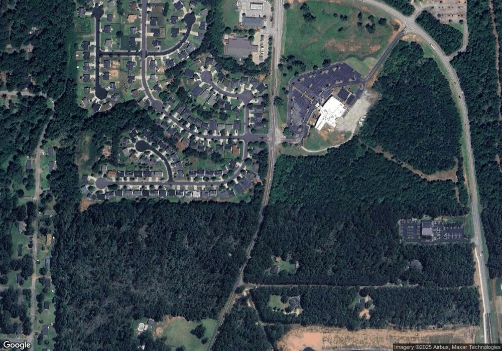
Map
Nearby Homes
- 1134 Saint Phillips Ct
- 1119 Saint Phillips Ct
- 1020 Saint Augustine Pkwy
- 1524 Queen Elizabeth Dr
- 1604 Lady Maria Ct
- 150 Aster Ave
- Cali Plan at Cedar Ridge - Locust Grove Station
- Belfort Plan at Cedar Ridge - Locust Grove Station
- Galen Plan at Cedar Ridge - Locust Grove Station
- Hayden Plan at Cedar Ridge - Locust Grove Station
- Packard Plan at Cedar Ridge - Locust Grove Station
- Flora Plan at Cedar Ridge - Locust Grove Station
- Penwell Plan at Cedar Ridge - Locust Grove Station
- 239 Ferguson Ave
- 269 Baumgard Way
- 188 Sophie Cir
- 134 Aster Ave
- 138 Aster Ave
- 231 Ferguson Ave
- 620 Lobelia Way
- 1132 St Phillips Ct
- 1132 St Phillips Ct
- 1132 Saint Phillips Ct
- 1130 Saint Phillips Ct
- 1128 Saint Phillips Ct
- 1131 Saint Phillips Ct
- 1136 Saint Phillips Ct
- 1126 St Phillips Ct
- 1137 St Phillips Unit N/a
- 1137 St Phillips
- 1126 Saint Phillips Ct
- 1137 Saint Phillips Ct
- 1005 Saint Augustine Pkwy
- 1138 Saint Phillips Ct
- 1007 Saint Augustine Pkwy
- 1139 Saint Phillips Ct
- 1140 Saint Phillips Ct
- 1009 Saint Augustine Pkwy
- 1143 Saint Phillips Ct
- 1142 Saint Phillips Ct