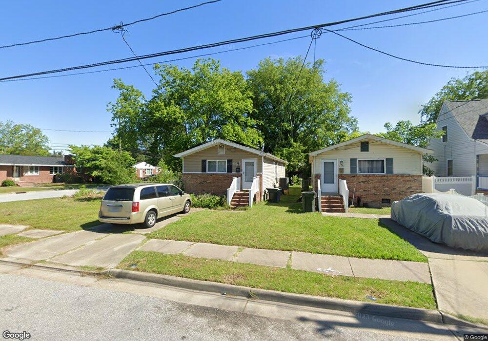
1132 West Ave Hampton, VA 23669
Old North Hampton NeighborhoodEstimated Value: $168,000 - $227,000
3
Beds
1
Bath
874
Sq Ft
$229/Sq Ft
Est. Value
About This Home
This home is located at 1132 West Ave, Hampton, VA 23669 and is currently estimated at $199,989, approximately $228 per square foot. 1132 West Ave is a home located in Hampton City with nearby schools including Mary S. Peake Elementary School, C. Alton Lindsay Middle School, and Kecoughtan High School.
Ownership History
Date
Name
Owned For
Owner Type
Purchase Details
Closed on
Nov 19, 2009
Sold by
Goodrich Daniel S
Bought by
Fultz Marc
Current Estimated Value
Home Financials for this Owner
Home Financials are based on the most recent Mortgage that was taken out on this home.
Original Mortgage
$95,243
Outstanding Balance
$61,743
Interest Rate
4.86%
Mortgage Type
FHA
Estimated Equity
$138,246
Purchase Details
Closed on
May 31, 2000
Sold by
H U D
Bought by
Goodrich Daniel
Create a Home Valuation Report for This Property
The Home Valuation Report is an in-depth analysis detailing your home's value as well as a comparison with similar homes in the area
Home Values in the Area
Average Home Value in this Area
Purchase History
| Date | Buyer | Sale Price | Title Company |
|---|---|---|---|
| Fultz Marc | $97,000 | -- | |
| Goodrich Daniel | $30,500 | -- |
Source: Public Records
Mortgage History
| Date | Status | Borrower | Loan Amount |
|---|---|---|---|
| Open | Fultz Marc | $95,243 | |
| Closed | Goodrich Daniel | $0 |
Source: Public Records
Tax History
| Year | Tax Paid | Tax Assessment Tax Assessment Total Assessment is a certain percentage of the fair market value that is determined by local assessors to be the total taxable value of land and additions on the property. | Land | Improvement |
|---|---|---|---|---|
| 2025 | $2,032 | $179,800 | $33,500 | $146,300 |
| 2024 | $1,719 | $149,500 | $30,200 | $119,300 |
| 2023 | $1,848 | $147,100 | $30,200 | $116,900 |
| 2022 | $1,637 | $138,700 | $30,200 | $108,500 |
| 2021 | $1,483 | $109,100 | $20,100 | $89,000 |
| 2020 | $1,300 | $104,800 | $20,100 | $84,700 |
| 2019 | $1,137 | $91,700 | $20,100 | $71,600 |
| 2018 | $1,250 | $94,000 | $20,100 | $73,900 |
| 2017 | $1,260 | $0 | $0 | $0 |
| 2016 | $1,240 | $92,400 | $0 | $0 |
| 2015 | $1,240 | $0 | $0 | $0 |
| 2014 | $1,116 | $87,400 | $20,100 | $67,300 |
Source: Public Records
Map
Nearby Homes
- 1008 Rowe St
- 994 N King St
- 845 N King St
- 8 Saxony Place
- 710 N Back River Rd
- 8 N Gawain Way
- 33 Clayton Dr
- 9 Lucas Dr
- 138 Eberly Terrace
- 382 Union St
- 40 Crestwood Cir
- 201 Courtney Dr
- 10 Eberly Terrace
- 215 Courtney Dr
- 206 Lantana Ln
- 206 Lantana Ln Unit B
- 358 Lincoln St
- 113 Roane Dr Unit A
- 2 Monroe Dr
- 311 Cooper St
Your Personal Tour Guide
Ask me questions while you tour the home.