11321 Brown Hill Rd NE Cumberland, MD 21502
Estimated Value: $77,995 - $88,000
--
Bed
--
Bath
600
Sq Ft
$138/Sq Ft
Est. Value
About This Home
This home is located at 11321 Brown Hill Rd NE, Cumberland, MD 21502 and is currently estimated at $82,999, approximately $138 per square foot. 11321 Brown Hill Rd NE is a home located in Allegany County with nearby schools including Northeast Elementary School, Washington Middle School, and Fort Hill High School.
Ownership History
Date
Name
Owned For
Owner Type
Purchase Details
Closed on
Jun 17, 2022
Sold by
Boyd Dennis M
Bought by
Wratchford Bailey J
Current Estimated Value
Home Financials for this Owner
Home Financials are based on the most recent Mortgage that was taken out on this home.
Original Mortgage
$42,711
Outstanding Balance
$40,633
Interest Rate
5.25%
Mortgage Type
FHA
Estimated Equity
$42,366
Purchase Details
Closed on
Jun 30, 1995
Sold by
Berg William C
Bought by
Boyd Dennis M and Boyd Marjorie A
Create a Home Valuation Report for This Property
The Home Valuation Report is an in-depth analysis detailing your home's value as well as a comparison with similar homes in the area
Home Values in the Area
Average Home Value in this Area
Purchase History
| Date | Buyer | Sale Price | Title Company |
|---|---|---|---|
| Wratchford Bailey J | $43,500 | None Listed On Document | |
| Boyd Dennis M | $7,000 | -- |
Source: Public Records
Mortgage History
| Date | Status | Borrower | Loan Amount |
|---|---|---|---|
| Open | Wratchford Bailey J | $42,711 |
Source: Public Records
Tax History Compared to Growth
Tax History
| Year | Tax Paid | Tax Assessment Tax Assessment Total Assessment is a certain percentage of the fair market value that is determined by local assessors to be the total taxable value of land and additions on the property. | Land | Improvement |
|---|---|---|---|---|
| 2025 | $328 | $30,133 | $0 | $0 |
| 2024 | $311 | $28,567 | $0 | $0 |
| 2023 | $293 | $27,000 | $12,200 | $14,800 |
| 2022 | $292 | $26,833 | $0 | $0 |
| 2021 | $287 | $26,667 | $0 | $0 |
| 2020 | $285 | $26,500 | $12,200 | $14,300 |
| 2019 | $288 | $26,500 | $12,200 | $14,300 |
| 2018 | $285 | $26,500 | $12,200 | $14,300 |
| 2017 | $277 | $25,800 | $0 | $0 |
| 2016 | $279 | $25,633 | $0 | $0 |
| 2015 | $287 | $25,467 | $0 | $0 |
| 2014 | $287 | $26,300 | $0 | $0 |
Source: Public Records
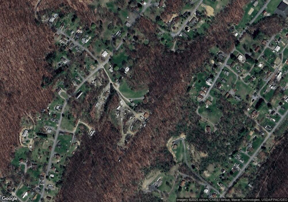
Map
Nearby Homes
- 11829 Valley Rd NE
- 12413 Shadoe Hollow Rd NE
- 11915 Bedford Rd NE
- 11816 Bedford Rd NE Unit REAR
- 12507 Lisa Dr NE
- 519 Forester Ave
- 512 Schlund Ave
- 1806 Holland St
- 0 Shades Rr Unit MDAL2012350
- 12507 Thornfield Cir NE
- 1105 Holland St
- 714 Lincoln St
- 703 Bedford St
- 816 Elmwood Ln
- 606 Hill St
- 611 Bedford St
- 617 Frederick St
- 615 Frederick St
- 511 Franklin St
- 623 Fairview Ave
- 11401 Brown Hill Rd NE
- 12007 Wood Rose Ave NE
- 12106 Amherst Ave NE
- 11311 Brown Hill Rd NE
- 11407 Slippery Ln NE
- 12014 Amherst Ave NE
- 11912 Clinton St NE
- 11408 Walnut Valley Ln NE
- 948 951 Wood Rose Ave
- 12010 Clinton St NE
- 12005 Wood Rose Ave NE
- 12006 Amherst Ave NE
- 948-951 Wood Rose Ave
- 12021 Amherst Ave NE
- 12105 Amherst Ave NE
- 12018 Shadoe Hollow Rd NE
- 12004 Wood Rose Ave NE
- 12114 Amherst Ave NE
- 12000 Wood Rose Ave NE
- 11124 Ore St NE