Estimated Value: $348,000 - $357,713
3
Beds
2
Baths
1,712
Sq Ft
$206/Sq Ft
Est. Value
About This Home
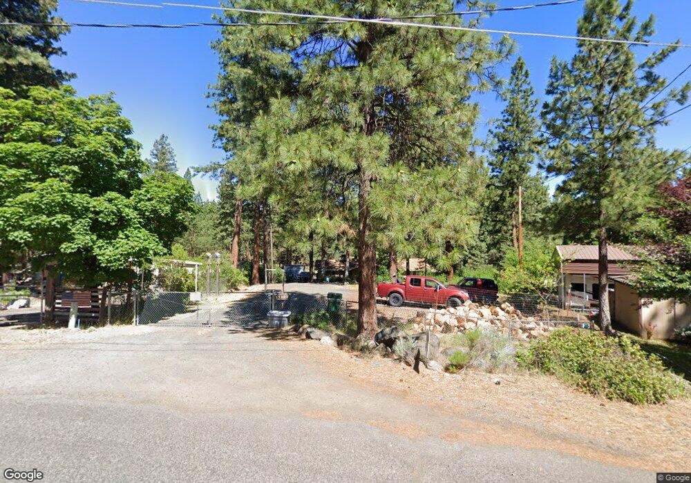
This home is located at 11323 Red Wing Loop, Keno, OR 97627 and is currently estimated at $352,857, approximately $206 per square foot. 11323 Red Wing Loop is a home located in Klamath County with nearby schools including Keno Elementary School, Henley Middle School, and Henley High School.
Ownership History
Date
Name
Owned For
Owner Type
Purchase Details
Closed on
Oct 24, 2007
Sold by
Bennett Elizabeth A
Bought by
Bennett Douglas B
Current Estimated Value
Home Financials for this Owner
Home Financials are based on the most recent Mortgage that was taken out on this home.
Original Mortgage
$203,162
Interest Rate
6.29%
Mortgage Type
FHA
Create a Home Valuation Report for This Property
The Home Valuation Report is an in-depth analysis detailing your home's value as well as a comparison with similar homes in the area
Purchase History
| Date | Buyer | Sale Price | Title Company |
|---|---|---|---|
| Bennett Douglas B | -- | National Title Co |
Source: Public Records
Mortgage History
| Date | Status | Borrower | Loan Amount |
|---|---|---|---|
| Closed | Bennett Douglas B | $203,162 |
Source: Public Records
Tax History
| Year | Tax Paid | Tax Assessment Tax Assessment Total Assessment is a certain percentage of the fair market value that is determined by local assessors to be the total taxable value of land and additions on the property. | Land | Improvement |
|---|---|---|---|---|
| 2025 | $1,764 | $170,370 | -- | -- |
| 2024 | $1,708 | $165,410 | -- | -- |
| 2023 | $1,643 | $165,410 | $0 | $0 |
| 2022 | $1,601 | $155,930 | $0 | $0 |
| 2021 | $1,551 | $151,390 | $0 | $0 |
| 2020 | $1,505 | $146,990 | $0 | $0 |
| 2019 | $1,470 | $142,710 | $0 | $0 |
| 2018 | $1,429 | $138,560 | $0 | $0 |
| 2017 | $1,395 | $134,530 | $0 | $0 |
| 2016 | $1,359 | $130,620 | $0 | $0 |
| 2015 | $1,325 | $126,820 | $0 | $0 |
| 2014 | $1,264 | $123,130 | $0 | $0 |
| 2013 | -- | $119,550 | $0 | $0 |
Source: Public Records
Map
Nearby Homes
- 11747 Whispering Pines Dr
- 10773 Powell Rd
- 15533 Richardson Ln
- 0 Klamath River Acres Unit 7
- 0 Klamath River Acres Unit 8
- 15314 Pioneer Rd
- 15815 Timberline Ln
- 0 Keno Terrace Dr Unit 20 220207058
- 12980 Keno Worden Rd
- 12980 Keno Worden Rd
- 0 Hamaker Ln Unit 12
- 0 J F Goeller Way Unit 13 220205348
- 15709 Black Bear Ct
- 0 Cedar Trail Unit 4008-01700-0900
- 12473 Overland Dr
- 13111 Pearson Butte Trail
- 0 Overland Unit 220197270
- 7140 Jake Rd
- 6447 Jake Rd
- 6620 Scottsbluff Rd
- 11331 Red Wing Loop
- 11311 Red Wing Loop
- 11305 Redwing
- 11305 Red Wing Loop
- 11345 Red Wing Loop
- 11303 Red Wing Loop
- 11302 Red Wing Loop
- 11302 Redwing
- 11351 Red Wing Loop
- 11356 Red Wing Loop
- 15673 Green Wing Loop
- 15665 Green Wing Loop
- 0 Blue Wing St Unit 220206968
- 0 Blue Wing St Unit 618246 220185492
- 0 Blue Wing St Unit 100177888
- 0 Blue Wing St Unit 100177889
- 0 Blue Wing St Unit 100180244
- 0 Blue Wing St Unit 100182998
- 0 Blue Wing St Unit 100183560
- 0 Blue Wing St Unit 100186679
Your Personal Tour Guide
Ask me questions while you tour the home.