11327 Plank Rd Clayton, MI 49235
Estimated Value: $161,000 - $213,774
5
Beds
2
Baths
2,772
Sq Ft
$69/Sq Ft
Est. Value
About This Home
This home is located at 11327 Plank Rd, Clayton, MI 49235 and is currently estimated at $192,258, approximately $69 per square foot. 11327 Plank Rd is a home located in Lenawee County with nearby schools including Lincoln Elementary School, Southern Michigan Center For Science & Industry (Smcsi), and Hudson Middle School.
Ownership History
Date
Name
Owned For
Owner Type
Purchase Details
Closed on
Jan 25, 2013
Sold by
Faust Larry and Faust Diana
Bought by
Fletcher Calvin and Fletcher Angela
Current Estimated Value
Purchase Details
Closed on
Dec 5, 2012
Sold by
The Bank Of New York Mellon
Bought by
Faust Larry
Purchase Details
Closed on
May 26, 2011
Sold by
Franklin Sarah M
Bought by
The Bank Of New York Mellon and Bank Of New York
Purchase Details
Closed on
Jan 10, 2005
Sold by
Ehnis Richard W and Ehnis Carol R
Bought by
Franklin Sarah M
Home Financials for this Owner
Home Financials are based on the most recent Mortgage that was taken out on this home.
Original Mortgage
$143,920
Interest Rate
8.5%
Mortgage Type
Adjustable Rate Mortgage/ARM
Create a Home Valuation Report for This Property
The Home Valuation Report is an in-depth analysis detailing your home's value as well as a comparison with similar homes in the area
Home Values in the Area
Average Home Value in this Area
Purchase History
| Date | Buyer | Sale Price | Title Company |
|---|---|---|---|
| Fletcher Calvin | $85,000 | None Available | |
| Fletcher Calvin | $85,000 | None Available | |
| Faust Larry | $48,500 | Bay National Title Co | |
| The Bank Of New York Mellon | $170,992 | None Available | |
| Franklin Sarah M | $179,900 | Atcl |
Source: Public Records
Mortgage History
| Date | Status | Borrower | Loan Amount |
|---|---|---|---|
| Previous Owner | Franklin Sarah M | $143,920 |
Source: Public Records
Tax History Compared to Growth
Tax History
| Year | Tax Paid | Tax Assessment Tax Assessment Total Assessment is a certain percentage of the fair market value that is determined by local assessors to be the total taxable value of land and additions on the property. | Land | Improvement |
|---|---|---|---|---|
| 2025 | $1,943 | $91,000 | $0 | $0 |
| 2024 | $823 | $85,000 | $0 | $0 |
| 2022 | $1,304 | $55,600 | $0 | $0 |
| 2021 | $1,304 | $51,600 | $0 | $0 |
| 2020 | $1,291 | $49,300 | $0 | $0 |
| 2019 | $128,137 | $45,800 | $0 | $0 |
| 2018 | $1,246 | $45,815 | $0 | $0 |
| 2017 | $1,253 | $45,652 | $0 | $0 |
| 2016 | $1,180 | $46,704 | $0 | $0 |
| 2014 | -- | $63,430 | $0 | $0 |
Source: Public Records
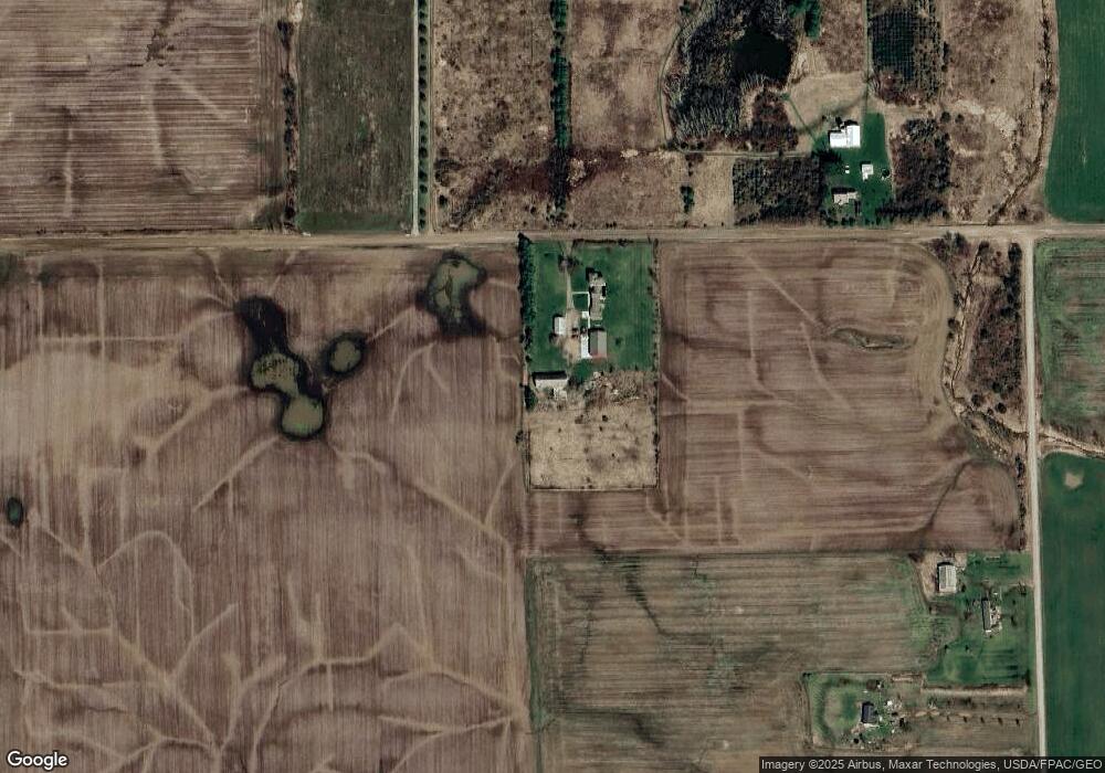
Map
Nearby Homes
- 11639 Beecher Rd
- 10957 N Church St
- 10913 E Railroad St
- 3601 Seneca St
- 9024 W Carleton Rd
- 1577 Benner Hwy
- 8890 W Carleton Rd
- 9497 W Beecher Rd
- 10512 Rome Rd
- 2781 Benner Hwy
- 11609 Carleton Rd
- 9875 Stoddard Rd
- 11485 U S 223
- 592 Rolling Meadows Dr
- 13627 Cadmus Rd
- V/L Forrister Rd
- 11943 U S 223
- 1991 Townline Hwy
- 4140 Geneva Hwy
- 5101 Hallenbeck Hwy
- 11234 Plank Rd
- 11430 Plank Rd
- 11440 Plank Rd
- 9000 Plank Rd Unit BLK
- 9000 Plank Rd Unit BLK
- 1190 Hutchinson Rd
- 11820 Plank Rd
- 1252 Hutchinson Rd
- 1314 Hutchinson Rd
- 10847 Plank Rd
- 10816 Plank Rd
- 1362 Hutchinson Rd
- 1362 Hutchinson Rd Unit HUTCHINSON
- 1160 Bates Hwy
- 1200 Hawkins Hwy
- 1010 Hawkins Hwy
- 1435 Hawkins Hwy
- 12000 Plank Rd
- 12000 Plank Rd Unit BLK
- 10466 Plank Rd