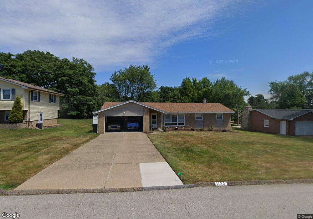
1133 34th St NE Canton, OH 44714
Estimated Value: $201,250 - $222,000
3
Beds
2
Baths
1,482
Sq Ft
$141/Sq Ft
Est. Value
About This Home
This home is located at 1133 34th St NE, Canton, OH 44714 and is currently estimated at $209,063, approximately $141 per square foot. 1133 34th St NE is a home located in Stark County with nearby schools including Frazer Elementary School, Glenwood Intermediate School, and GlenOak High School.
Ownership History
Date
Name
Owned For
Owner Type
Purchase Details
Closed on
Jun 27, 2003
Sold by
Kline Miriam Judy
Bought by
Vitale Philip and Vitale Lois I
Current Estimated Value
Home Financials for this Owner
Home Financials are based on the most recent Mortgage that was taken out on this home.
Original Mortgage
$74,000
Interest Rate
5.51%
Mortgage Type
Purchase Money Mortgage
Purchase Details
Closed on
Jan 28, 1999
Sold by
Estate Of Edith G Kline
Bought by
Kline Miriam Judy
Create a Home Valuation Report for This Property
The Home Valuation Report is an in-depth analysis detailing your home's value as well as a comparison with similar homes in the area
Home Values in the Area
Average Home Value in this Area
Purchase History
| Date | Buyer | Sale Price | Title Company |
|---|---|---|---|
| Vitale Philip | $112,000 | -- | |
| Kline Miriam Judy | -- | -- |
Source: Public Records
Mortgage History
| Date | Status | Borrower | Loan Amount |
|---|---|---|---|
| Closed | Vitale Philip | $74,000 |
Source: Public Records
Tax History
| Year | Tax Paid | Tax Assessment Tax Assessment Total Assessment is a certain percentage of the fair market value that is determined by local assessors to be the total taxable value of land and additions on the property. | Land | Improvement |
|---|---|---|---|---|
| 2025 | -- | $65,880 | $18,240 | $47,640 |
| 2024 | -- | $65,880 | $18,240 | $47,640 |
| 2023 | $2,211 | $47,460 | $12,110 | $35,350 |
| 2022 | $1,111 | $47,460 | $12,110 | $35,350 |
| 2021 | $2,233 | $47,460 | $12,110 | $35,350 |
| 2020 | $2,095 | $40,530 | $10,430 | $30,100 |
| 2019 | $2,078 | $40,530 | $10,430 | $30,100 |
| 2018 | $2,052 | $40,530 | $10,430 | $30,100 |
| 2017 | $1,872 | $33,950 | $10,710 | $23,240 |
| 2016 | $1,877 | $33,950 | $10,710 | $23,240 |
| 2015 | $1,815 | $33,950 | $10,710 | $23,240 |
| 2014 | $1,889 | $34,580 | $10,920 | $23,660 |
| 2013 | $922 | $34,580 | $10,920 | $23,660 |
Source: Public Records
Map
Nearby Homes
- 1624 34th St NE
- 922 Milford St NE
- 910 Milford St NE
- 1331 Spangler St NE
- 804 28th St NE
- 318 31st St NW
- 1220 Havana Place NE
- 414 32nd St NW
- 1410 Colonial Blvd NE
- 1614 Colonial Blvd NE
- 508 32nd St NW
- 815 44th St NE
- 1218 24th St NE
- 2333 Ivy Way St NE
- 4514 Plain Center Ave NE
- 2228 Saint Elmo Ave NE
- 1610 23rd St NE
- 1316 22nd St NE
- 3838 Taft Ave NE
- 425 Santa Clara St NW
- 1125 34th St NE
- 1209 34th St NE
- 1200 35th St NE
- 1210 35th St NE
- 1219 34th St NE
- 1132 34th St NE
- 1208 34th St NE
- 3406 Martindale Rd NE
- 3418 Martindale Rd NE
- 3404 Martindale Rd NE
- 0000 35th St NE
- 1220 35th St NE
- 1122 34th St NE
- 3424 Martindale Rd NE
- 1218 34th St NE
- 13323 35th St NE
- 13222 35th St NE
- 3326 Martindale Rd NE
- 1230 35th St NE
- 1232 35th St NE
Your Personal Tour Guide
Ask me questions while you tour the home.