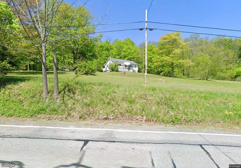
1133 Hancock Hwy Honesdale, PA 18431
Estimated Value: $212,000 - $235,328
2
Beds
1
Bath
1,120
Sq Ft
$203/Sq Ft
Est. Value
About This Home
This home is located at 1133 Hancock Hwy, Honesdale, PA 18431 and is currently estimated at $226,832, approximately $202 per square foot. 1133 Hancock Hwy is a home located in Wayne County with nearby schools including Honesdale High School.
Ownership History
Date
Name
Owned For
Owner Type
Purchase Details
Closed on
Nov 29, 2010
Sold by
Us Bank Na
Bought by
Ridd William J
Current Estimated Value
Purchase Details
Closed on
Nov 22, 2010
Sold by
Us Bank Na
Bought by
Ridd William J
Purchase Details
Closed on
Mar 18, 2005
Sold by
Marion John F and Marion Mabel E
Bought by
Mirch Kenneth J
Home Financials for this Owner
Home Financials are based on the most recent Mortgage that was taken out on this home.
Original Mortgage
$94,121
Interest Rate
5.61%
Mortgage Type
New Conventional
Create a Home Valuation Report for This Property
The Home Valuation Report is an in-depth analysis detailing your home's value as well as a comparison with similar homes in the area
Home Values in the Area
Average Home Value in this Area
Purchase History
| Date | Buyer | Sale Price | Title Company |
|---|---|---|---|
| Ridd William J | $119,900 | None Available | |
| Ridd William J | $119,900 | None Available | |
| Mirch Kenneth J | $111,000 | None Available |
Source: Public Records
Mortgage History
| Date | Status | Borrower | Loan Amount |
|---|---|---|---|
| Previous Owner | Mirch Kenneth J | $94,121 |
Source: Public Records
Tax History Compared to Growth
Tax History
| Year | Tax Paid | Tax Assessment Tax Assessment Total Assessment is a certain percentage of the fair market value that is determined by local assessors to be the total taxable value of land and additions on the property. | Land | Improvement |
|---|---|---|---|---|
| 2025 | $2,692 | $160,400 | $59,000 | $101,400 |
| 2024 | $2,569 | $160,400 | $59,000 | $101,400 |
| 2023 | $3,631 | $160,400 | $59,000 | $101,400 |
| 2022 | $2,158 | $88,300 | $31,800 | $56,500 |
| 2021 | $2,136 | $88,300 | $31,800 | $56,500 |
| 2020 | $2,136 | $88,300 | $31,800 | $56,500 |
| 2019 | $1,996 | $88,300 | $31,800 | $56,500 |
| 2018 | $1,944 | $88,300 | $31,800 | $56,500 |
| 2017 | $1,919 | $88,300 | $31,800 | $56,500 |
| 2016 | $1,836 | $88,300 | $31,800 | $56,500 |
| 2014 | -- | $88,300 | $31,800 | $56,500 |
Source: Public Records
Map
Nearby Homes
- 25 Leaf Dr
- 19 Oregon Turnpike
- 0 Bryn Mawr Rd
- 105 Grimms Rd
- 0 Highhouse Rd
- 401 Wayne St
- 52 Laurel Dr
- 1920 Hancock Hwy Unit B
- 33 Stevenson
- 73 Stevenson Spur
- 15 Rose Land Dr
- 22 Vanishing Pond Rd
- 70 Spring Wood Trail
- 19 Bethany Turnpike
- 0 Town Hill Rd
- 649 Creek Dr
- 308 Valley Ridge Rd
- 560 Johnson Ln
- 1797 N Main St
- 0 Slish Rd
- 1137 Hancock Hwy
- 325 Siko Rd
- 20 Ridd Ln
- 20 Ridd Ln
- 20 Ridd Ln
- 20 Ridd Ln
- 16 Haun Ln
- 16 Haun Ln
- 290 Siko Rd
- 1248 Hancock Hwy
- 0 Siko Rd Unit PWB21678
- 0 Siko Rd Unit PWB155722
- 0 Siko Rd Unit PWB041949
- 0 Siko Rd Unit 22-3231
- 1256 Hancock Hwy
- 212 Niles Pond Rd
- 208 Niles Pond Rd
- 176 Niles Pond Rd
- 230 Siko Rd
- 205 Niles Pond Rd