Estimated Value: $183,000 - $316,000
5
Beds
1
Bath
1,800
Sq Ft
$133/Sq Ft
Est. Value
About This Home
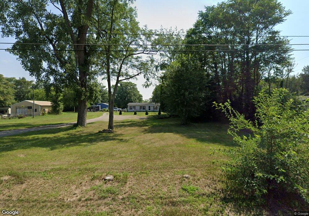
This home is located at 1133 Leet Rd, Niles, MI 49120 and is currently estimated at $239,598, approximately $133 per square foot. 1133 Leet Rd is a home located in Cass County with nearby schools including Howard-Ellis Elementary School, James Ellis School, and Oak Manor Sixth Grade Center.
Ownership History
Date
Name
Owned For
Owner Type
Purchase Details
Closed on
Jul 14, 2006
Sold by
Debon Investments Llc
Bought by
Curran Tye R and Curran Jodi L
Current Estimated Value
Home Financials for this Owner
Home Financials are based on the most recent Mortgage that was taken out on this home.
Original Mortgage
$80,000
Outstanding Balance
$47,704
Interest Rate
6.73%
Mortgage Type
Purchase Money Mortgage
Estimated Equity
$191,894
Purchase Details
Closed on
Sep 2, 2005
Sold by
Department Of Treasury
Bought by
Dehon Investments Llc
Create a Home Valuation Report for This Property
The Home Valuation Report is an in-depth analysis detailing your home's value as well as a comparison with similar homes in the area
Home Values in the Area
Average Home Value in this Area
Purchase History
| Date | Buyer | Sale Price | Title Company |
|---|---|---|---|
| Curran Tye R | $28,000 | None Available | |
| Dehon Investments Llc | $37,000 | -- |
Source: Public Records
Mortgage History
| Date | Status | Borrower | Loan Amount |
|---|---|---|---|
| Open | Curran Tye R | $80,000 |
Source: Public Records
Tax History Compared to Growth
Tax History
| Year | Tax Paid | Tax Assessment Tax Assessment Total Assessment is a certain percentage of the fair market value that is determined by local assessors to be the total taxable value of land and additions on the property. | Land | Improvement |
|---|---|---|---|---|
| 2025 | $1,328 | $67,900 | $67,900 | $0 |
| 2024 | $531 | $65,300 | $65,300 | $0 |
| 2023 | $506 | $47,400 | $0 | $0 |
| 2022 | $543 | $50,900 | $0 | $0 |
| 2021 | $1,215 | $52,200 | $0 | $0 |
| 2020 | $1,202 | $53,200 | $0 | $0 |
| 2019 | $1,159 | $49,500 | $0 | $0 |
| 2018 | $502 | $56,900 | $0 | $0 |
| 2017 | $492 | $54,100 | $0 | $0 |
| 2016 | $487 | $48,241 | $0 | $0 |
| 2015 | -- | $51,900 | $0 | $0 |
| 2011 | -- | $45,600 | $0 | $0 |
Source: Public Records
Map
Nearby Homes
- 2760 Detroit Rd
- 1002 Leet Rd
- 2671 Mulberry St
- 2686 Star Ave
- 1256 Barron Lake Rd
- 2726 Horton Ct
- 2729 Horton Ct
- 2561 Lake Shore Dr
- 2548 Coquillard Dr
- 1403 Barron Lake Rd
- 1225 Huntly Rd
- 829 Wadaduga Ln
- 2663 Huntly Rd
- 1394 Huntly Rd
- 1314 Norwood Rd
- 2511 Heath Dr
- 3125 Detroit Rd
- 2437 Yankee St
- 2640 Terminal St
- 1033 Anderson Rd