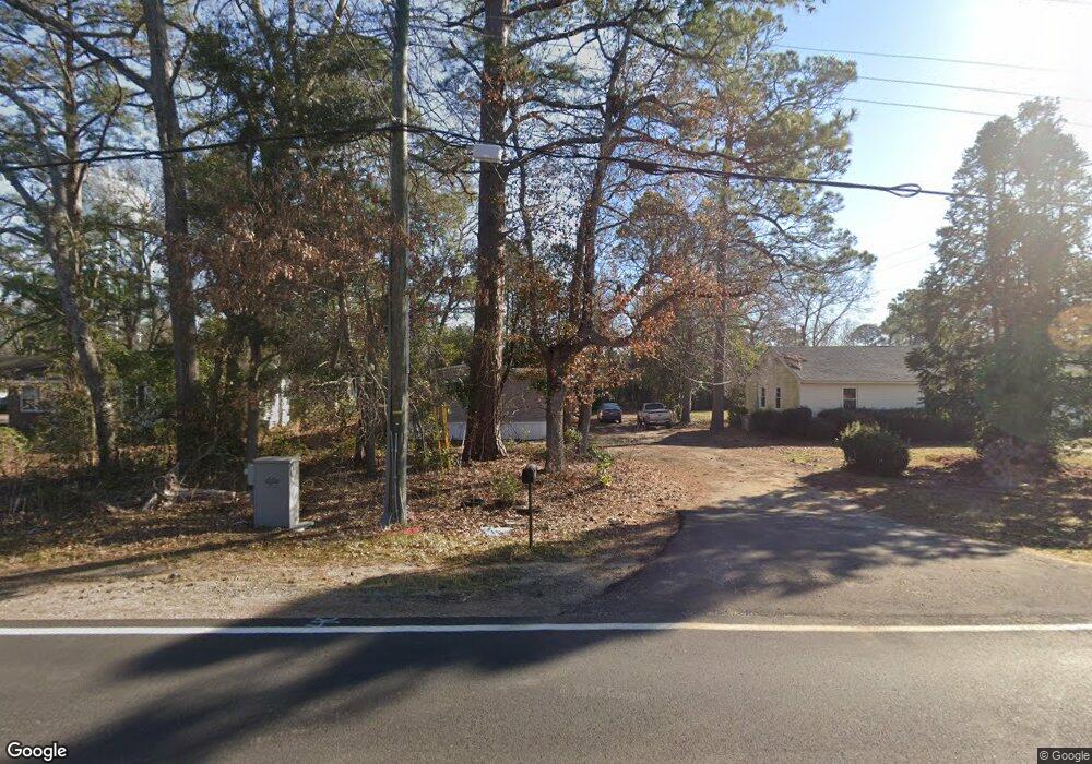
1133 Manning Rd Sumter, SC 29150
South Sumter NeighborhoodEstimated Value: $59,964 - $102,000
3
Beds
1
Bath
1,348
Sq Ft
$55/Sq Ft
Est. Value
About This Home
This home is located at 1133 Manning Rd, Sumter, SC 29150 and is currently estimated at $73,491, approximately $54 per square foot. 1133 Manning Rd is a home located in Sumter County with nearby schools including Kingsbury Elementary School, Bates Middle School, and Sumter High School.
Ownership History
Date
Name
Owned For
Owner Type
Purchase Details
Closed on
Feb 23, 2024
Sold by
Reese Derek and Reese Sabrina
Bought by
Sunsetter Properties Llc
Current Estimated Value
Purchase Details
Closed on
Feb 21, 2024
Sold by
Dukes Donna T
Bought by
Reese Derek and Reese Sabrina
Purchase Details
Closed on
Mar 26, 2020
Sold by
Thompson Charles R
Bought by
Dukes Donna T
Purchase Details
Closed on
Apr 10, 2019
Sold by
Lee Chris and Lee Chris L
Bought by
Thompson Charles R
Purchase Details
Closed on
Apr 10, 2009
Sold by
Lee Chris
Bought by
Reese Derek and Reese Sabrina
Home Financials for this Owner
Home Financials are based on the most recent Mortgage that was taken out on this home.
Original Mortgage
$76,800
Interest Rate
5.37%
Mortgage Type
Seller Take Back
Purchase Details
Closed on
May 15, 2008
Sold by
Brown Investments Of Sumter Llc
Bought by
Lee Chris
Create a Home Valuation Report for This Property
The Home Valuation Report is an in-depth analysis detailing your home's value as well as a comparison with similar homes in the area
Home Values in the Area
Average Home Value in this Area
Purchase History
| Date | Buyer | Sale Price | Title Company |
|---|---|---|---|
| Sunsetter Properties Llc | $55,000 | None Listed On Document | |
| Reese Derek | $79,500 | South Carolina Title | |
| Dukes Donna T | $30,000 | None Available | |
| Thompson Charles R | $42,000 | None Available | |
| Reese Derek | $79,500 | -- | |
| Lee Chris | -- | -- |
Source: Public Records
Mortgage History
| Date | Status | Borrower | Loan Amount |
|---|---|---|---|
| Previous Owner | Reese Derek | $76,800 |
Source: Public Records
Tax History
| Year | Tax Paid | Tax Assessment Tax Assessment Total Assessment is a certain percentage of the fair market value that is determined by local assessors to be the total taxable value of land and additions on the property. | Land | Improvement |
|---|---|---|---|---|
| 2025 | $342 | $3,350 | $390 | $2,960 |
| 2024 | $342 | $2,280 | $390 | $1,890 |
| 2023 | $318 | $1,520 | $260 | $1,260 |
| 2022 | $315 | $1,520 | $260 | $1,260 |
| 2021 | $1,065 | $2,280 | $390 | $1,890 |
| 2020 | $1,065 | $2,920 | $390 | $2,530 |
| 2019 | $786 | $2,130 | $390 | $1,740 |
| 2018 | $286 | $1,420 | $260 | $1,160 |
| 2017 | $282 | $1,420 | $260 | $1,160 |
| 2016 | $295 | $1,420 | $260 | $1,160 |
| 2015 | $319 | $1,580 | $370 | $1,210 |
| 2014 | $319 | $1,580 | $370 | $1,210 |
| 2013 | -- | $1,580 | $370 | $1,210 |
Source: Public Records
Map
Nearby Homes
- 34 Webb Ave
- 1234 Ivey St
- 201 Webb Ave
- 1116 Pocalla Rd
- 220 Alexander Place
- 10 Earle St
- 230 Alexander Place
- 113 Laurel St
- 501 Knightbridge Rd
- 13 Harrison St
- 1023 Decatur St
- 974 Meadowbrook Rd
- 706 Nelson St
- 255 Tullah Dr
- 1250 Coffey St
- 956 Meadowbrook Rd
- 960 Morningside Dr
- 725 S Sumter St
- 944 Morningside Dr
- 60 Habitat Ct
- 1133 Manning Rd
- 1135 Manning Rd
- 1137 Manning Rd
- 1131 Manning Rd
- 1129 Manning Rd
- 1141 Manning Rd
- 1127 Manning Rd
- 1136 Manning Rd
- 1130 Manning Rd
- 1132 Manning Rd
- 1128 Mcarthur Dr
- 1122 Mcarthur Dr
- 1143 Manning Rd
- 1125 Manning Rd
- 1140 Mcarthur Dr
- 1116 Mcarthur Dr
- 8 Dollard Dr
- 1142 Manning Rd
- 7 Dollard Dr
- 1126 Manning Rd
Your Personal Tour Guide
Ask me questions while you tour the home.