Estimated Value: $199,000 - $1,541,397
2
Beds
--
Bath
558
Sq Ft
$1,233/Sq Ft
Est. Value
About This Home
This home is located at 1133 Martin Rd, Starr, SC 29684 and is currently estimated at $688,132, approximately $1,233 per square foot. 1133 Martin Rd is a home with nearby schools including Crescent High School.
Ownership History
Date
Name
Owned For
Owner Type
Purchase Details
Closed on
Sep 4, 2024
Sold by
Dun Peter Bawi and Lua Bei
Bought by
Moriah Land Farm Llc
Current Estimated Value
Home Financials for this Owner
Home Financials are based on the most recent Mortgage that was taken out on this home.
Original Mortgage
$1,009,876
Outstanding Balance
$695,736
Interest Rate
6.78%
Mortgage Type
Credit Line Revolving
Estimated Equity
-$7,604
Purchase Details
Closed on
Nov 12, 2021
Sold by
Stevenson Michael Perry
Bought by
Dun Peter Bawi and Lua Bei
Home Financials for this Owner
Home Financials are based on the most recent Mortgage that was taken out on this home.
Original Mortgage
$1,000,000
Interest Rate
2.23%
Mortgage Type
Purchase Money Mortgage
Create a Home Valuation Report for This Property
The Home Valuation Report is an in-depth analysis detailing your home's value as well as a comparison with similar homes in the area
Home Values in the Area
Average Home Value in this Area
Purchase History
| Date | Buyer | Sale Price | Title Company |
|---|---|---|---|
| Moriah Land Farm Llc | -- | None Listed On Document | |
| Dun Peter Bawi | $1,250,000 | None Available |
Source: Public Records
Mortgage History
| Date | Status | Borrower | Loan Amount |
|---|---|---|---|
| Open | Moriah Land Farm Llc | $1,009,876 | |
| Previous Owner | Dun Peter Bawi | $1,000,000 |
Source: Public Records
Tax History
| Year | Tax Paid | Tax Assessment Tax Assessment Total Assessment is a certain percentage of the fair market value that is determined by local assessors to be the total taxable value of land and additions on the property. | Land | Improvement |
|---|---|---|---|---|
| 2024 | $520 | $35,940 | $290 | $35,650 |
| 2023 | $520 | $35,940 | $290 | $35,650 |
| 2022 | $20,233 | $59,510 | $6,030 | $53,480 |
| 2021 | $5,891 | $17,400 | $270 | $17,130 |
| 2020 | $5,875 | $17,400 | $270 | $17,130 |
| 2019 | $5,875 | $17,400 | $270 | $17,130 |
| 2018 | $5,796 | $17,400 | $270 | $17,130 |
| 2017 | -- | $17,400 | $270 | $17,130 |
| 2016 | $5,721 | $17,500 | $270 | $17,230 |
| 2015 | $5,783 | $17,500 | $270 | $17,230 |
| 2014 | $5,780 | $17,500 | $270 | $17,230 |
Source: Public Records
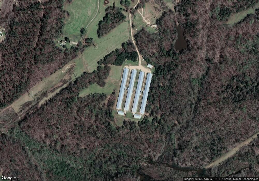
Map
Nearby Homes
- 505 Stevenson Rd
- 132 Stevenson Rd
- 1907 Mountain Creek Church Rd
- 624 Little Mountain Rd
- 884 Martin Rd
- 534 Little Mountain Rd
- 509 Little Mountain Rd
- 305 Amy St
- 113 Tate Dr
- 214 Sullivan Ln
- 2916 Highway 29 S
- 00 Trump Pointe
- 0 Trump Pointe Unit 20286225
- 113 Willie Mae Ct
- 109 Carson Dr
- 110 , 112 Hickory Forest Dr
- 3934 Highway 29 S
- 304 Cleveland Rd
- 143 George Merck Rd
- 1112 Trotter Rd
- 1155 Martin Rd
- 1130 Martin Rd
- 1117 Martin Rd
- 1204 Martin Rd
- 000 Martin Rd
- 000 Martin Rd
- 1108 Martin Rd
- 1285 Martin Rd
- 911 Stevenson Rd
- 900 Stevenson Rd
- Lot A-1 Stevenson Rd
- Lot 2 Stevenson Rd
- 00 Stevenson Rd
- 108 Stevenson Rd
- 6 Stevenson Rd
- 309 Stevenson Rd
- 1010 Martin Rd
- 336 Chris de Ln
- 1010 Stevenson Rd
- 1000 Martin Rd
Your Personal Tour Guide
Ask me questions while you tour the home.