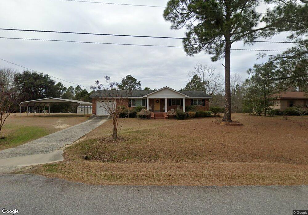
1133 Meadowood Ln Soperton, GA 30457
Estimated Value: $99,000 - $118,000
--
Bed
2
Baths
1,323
Sq Ft
$85/Sq Ft
Est. Value
About This Home
This home is located at 1133 Meadowood Ln, Soperton, GA 30457 and is currently estimated at $112,885, approximately $85 per square foot. 1133 Meadowood Ln is a home located in Treutlen County with nearby schools including Treutlen Elementary School, Treutlen Middle/High School, and Faith Tabernacle Christian Academy.
Ownership History
Date
Name
Owned For
Owner Type
Purchase Details
Closed on
Jun 16, 2004
Sold by
Estate Of Nellie Fuqua
Bought by
Johnson Bruce
Current Estimated Value
Purchase Details
Closed on
Oct 3, 2002
Sold by
City Of Soperton
Bought by
Ceasar Mary
Purchase Details
Closed on
Nov 22, 1977
Bought by
City Of Soperton
Create a Home Valuation Report for This Property
The Home Valuation Report is an in-depth analysis detailing your home's value as well as a comparison with similar homes in the area
Home Values in the Area
Average Home Value in this Area
Purchase History
| Date | Buyer | Sale Price | Title Company |
|---|---|---|---|
| Johnson Bruce | -- | -- | |
| Ceasar Mary | $25,000 | -- | |
| City Of Soperton | $17,500 | -- |
Source: Public Records
Tax History Compared to Growth
Tax History
| Year | Tax Paid | Tax Assessment Tax Assessment Total Assessment is a certain percentage of the fair market value that is determined by local assessors to be the total taxable value of land and additions on the property. | Land | Improvement |
|---|---|---|---|---|
| 2024 | $692 | $24,080 | $1,920 | $22,160 |
| 2023 | $670 | $24,080 | $1,920 | $22,160 |
| 2022 | $529 | $21,600 | $1,920 | $19,680 |
| 2021 | $528 | $21,600 | $1,920 | $19,680 |
| 2020 | $528 | $21,600 | $1,920 | $19,680 |
| 2019 | $528 | $21,600 | $1,920 | $19,680 |
| 2018 | $635 | $21,600 | $1,920 | $19,680 |
| 2017 | $507 | $21,160 | $1,920 | $19,240 |
| 2016 | $497 | $21,160 | $1,920 | $19,240 |
| 2015 | -- | $22,520 | $2,280 | $20,240 |
| 2014 | -- | $22,520 | $2,280 | $20,240 |
| 2013 | -- | $22,520 | $2,280 | $20,240 |
Source: Public Records
Map
Nearby Homes
- 46 Georgia 46
- 4687 W Main St
- 1785 Martin Luther King jr Dr
- 7586 Eastman Rd
- 4004 E Louisiana Ave
- 0 Cedar Grove Rd
- 0 Beasley Hill Place Unit 10640367
- 0 Rivoli Clay Rd
- 00 Rivoli Clay Rd
- 1936 Cedar Grove Rd
- 0 Knox Mill Rd Unit 10640244
- 0 Muskogee Trail Unit 25917
- 0 Muskogee Trail Unit LOT 78 20128125
- 95 Railroad Ave
- 4281 Ga Highway 46
- 4281 Sr-46
- 0 County Line Rd Unit n/a 113727
- 481 Windmill Way
- 0 Lake Helen Loop Unit 10640271
- 2166 Ga Highway 199
- 1153 Meadowood Ln
- 1091 Meadowood Ln
- 1112 Meadowood Ln
- 1130 Meadowood Ln
- 1090 Meadowood Ln
- 1071 Meadowood Ln
- 1152 Meadowood Ln
- 1072 Meadowood Ln
- 106 Meadowood Ln
- 1044 Meadowood Ln
- 1022 Cardinal Dr
- 1022 Cardinal Dr
- 1490 Forest Ave
- 1031 Meadowood Ln
- 1414 Forest Ave
- 1388 Forest Ave
- 1280 Forest Ave
- 1262 Forest Ave
- 1455 Forest Ave
- 1475 Forest Ave